There’s nothing we find quite so irresistible as a high Andean road. Add in the possibility of continuing on foot to a 6000m summit and it’ll soon weasel its way onto our ‘To Do’ list.
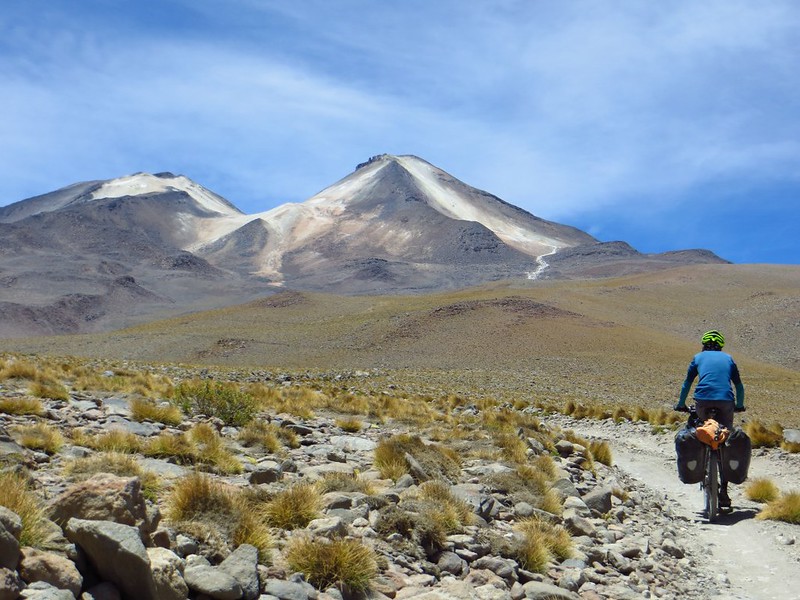
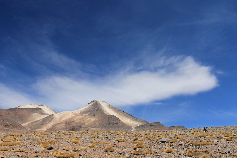
Which is why we’ve had our eye on Uturuncu for a while. The road up to the old sulphur mine near the northern top is one of the highest roads ever built. We’d read on the web that landslides now block the track, so it is no longer motorable to the mine (or col between the mountain’s two peaks at 5760m), so as we left sleepy little Quetena one morning we envisaged cycling to the slide, then walking to the top from there.
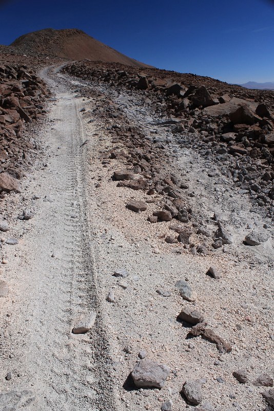
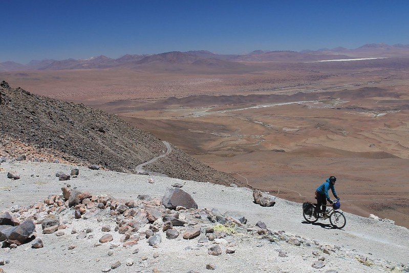
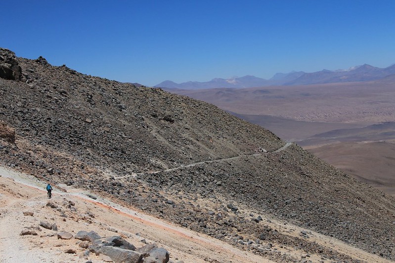
But the road, covered in fresh jeep tracks, just kept on going, and to our delight was almost all rideable. By early afternoon we’d reached 5550m, and decided to camp. In the morning a passing jeep driver explained that some tour agencies had opened the road all the way to the col, so that clients could be driven up, then amble the 250m up to Uturuncu’s south summit. At 6008m this is the highest peak in southern Bolivia, the lowest on the Andes’ official list of 102 6000ers, and surely the easiest mountain of its height in the world.
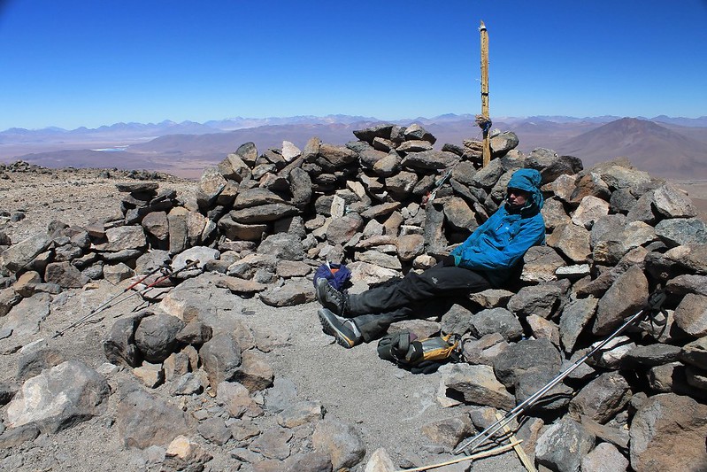
At the col we were pedalling past eggy fumaroles on a track under which was a turbulent gurgling of sulphur. We left the bikes and walked up the good path to the summit – in good weather no mountaineering kit is needed here: a pair of trainers and some warm clothes will suffice. From the top, a myriad of lakes are visible in all directions, and having savoured this we descended to the bikes and tried continuing onwards to the old mine. But this section of road has no tourist worth. After 20m more of ascent it deteriorated, and scouting higher on foot showed there was little point continuing further – littered with rocks, the surface was, to us at least, unrideable in either direction. We turned round and rolled back to town.
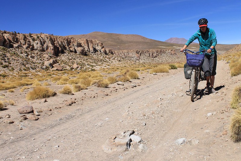
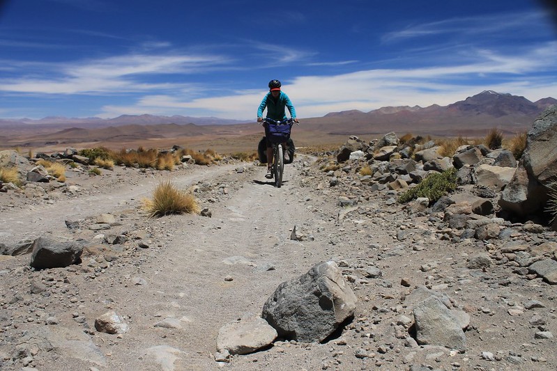
…occasionally sand. Most of the kilometer or so we had to push en route to the col was on these lower, sandy sections near the village, before the real climb began.
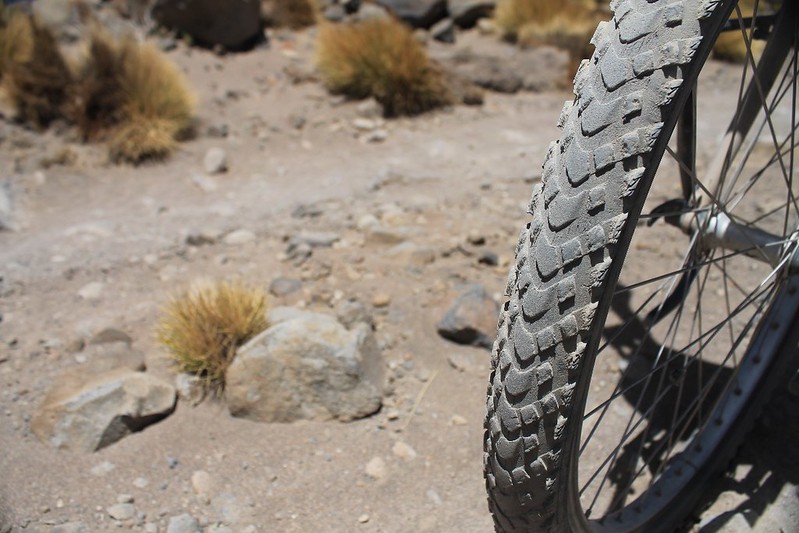
The Marathon Extremes work well, though we do find ourselves wishing we had fat bikes quite often when we’re in this area.
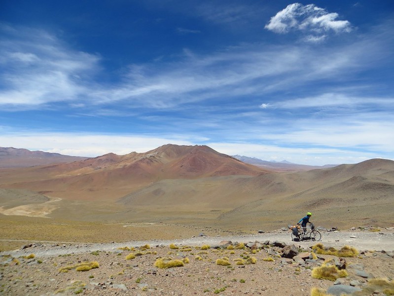
…and there are infrequent sections we have to push. Fortunately, despite loaded bikes (with camping kit and 2 days of food and water), these are always short.
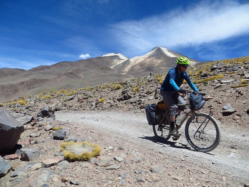
Soon we’re pedalling again. From this distance we never spotted the highest parts of the road, near the col, though it’s not long until we find out it really is there.
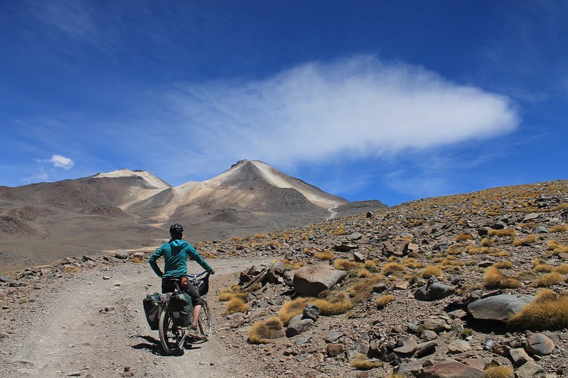
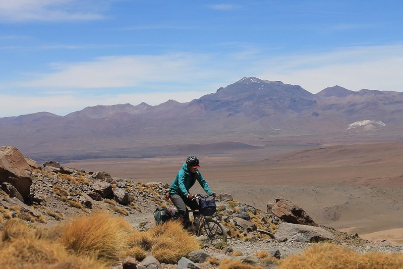
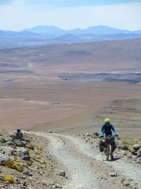
As the altitude increases, so does the frequency of our stops. The road climbs from 5200m to 5500m in 3km, and we’re having to catch our breath every 100m or so…
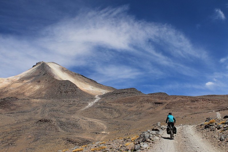
Then we meet a jeep, descending from above. It left Quetena at the same time as us, drove to 5550m, from where the 4 tourists inside climbed to the top. ‘But the road is cycleable as far as the col’ they tell us. Great news!
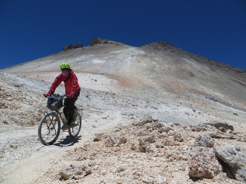
We camp at 5550m, then in the morning it’s a short 3km hop to the col. The tourists were right – we can pedal almost all the way there. On the final kilometer the gradient finally eases.

From the col it’s only a 40 minute walk to the summit. The mountain boots we brought with us from the UK back in May get a first run out. As it’s such a gentle one, there’s no time for blisters…
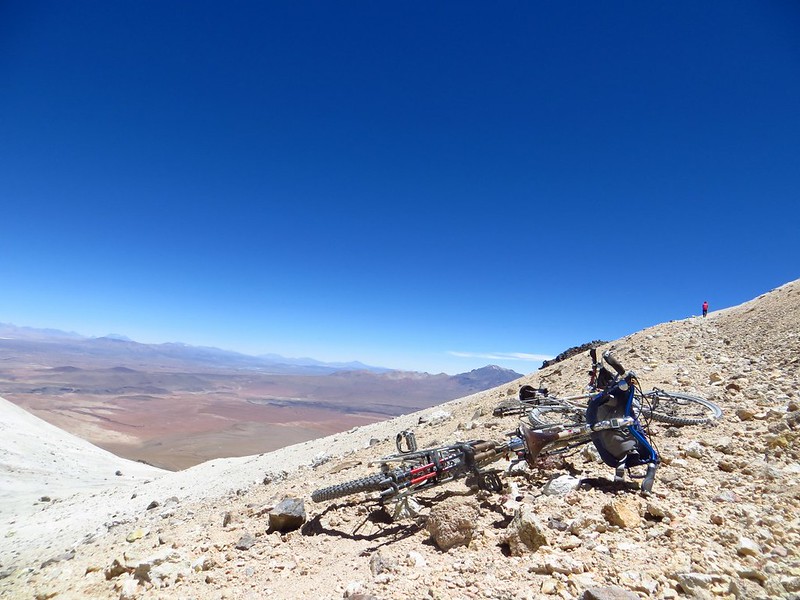
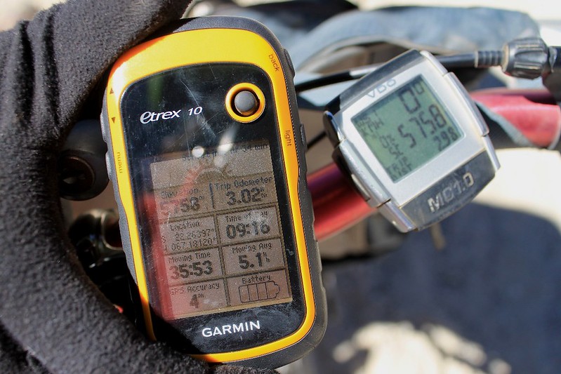
In 20 mintutes we’re back at the bikes, and decide to investigate the continuation of the road which heads up to the old mine on the northern peak. But with no tourists interested in going up this way it’s unrideable, so we turn back. Our GPS says 5777m – the highest our bikes have yet been, or are ever likely to go…
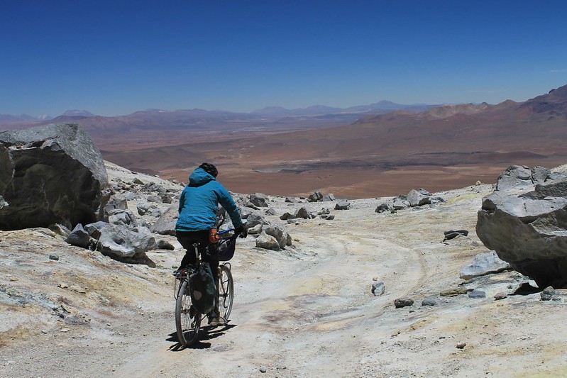
Then it’s the whizz back to town. Under this section of road, the mountain is gurgling and bubbling away…
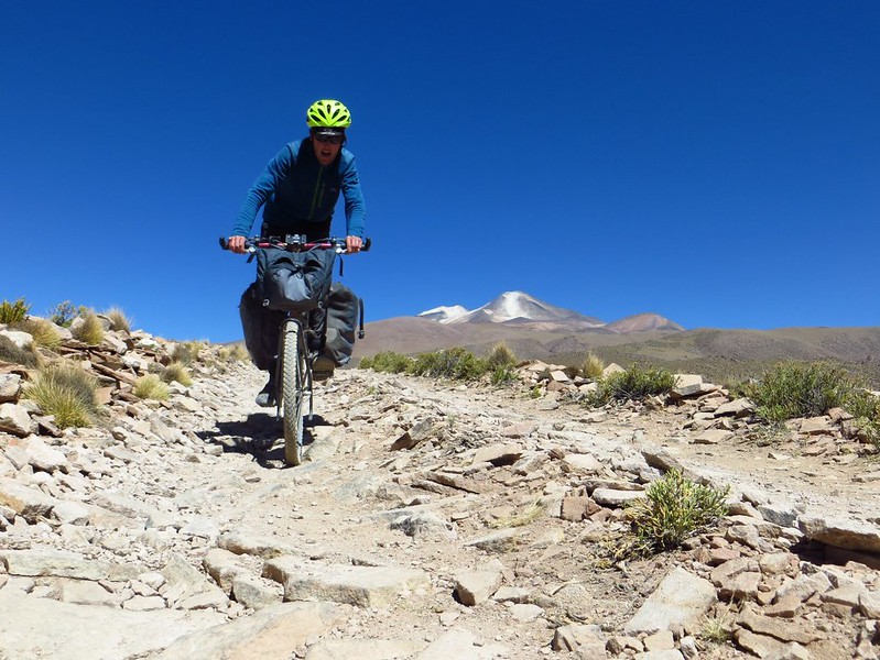
Gear back on the bikes, we continue to town, to find the only decent shop closed, with its owner gone to Uyuni. We scrabble around and find some Pepsi and a few packets of Chizitos (Bolivian Wotsits) to celebrate with before continuing on to San Pedro…
[flickr_set id=”72157638013399875″]
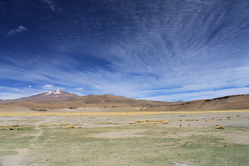
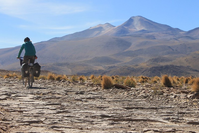
And now it’s on my to-do list too.
That Troll frame has got your name on it if you want it… It’ll take 2.5s easy…
Great, thanks! Santa Fe, right? We’ll look into seeing if we can detour there on our way home next year… With slightly fatter tyres I’d say the road is all rideable to the col, apart from one ridiculously steep 20m section (which climbs about 10 vertical metres on a shortcut to avoid the old landslide).
Enjoy riding it next year – it’s a good’un, and gives the lungs a bit of a workout!
Neil
Hi,
cycled Uturuncu only two weeks before you did. Actually I had to push my bike 1/3 of the way. But I think it is generally cyclable up to the col.
see my pics: http://www.passzwang.de/uturuncuinhalteng.php
Regards from Germany
Ah cool – so those were the tracks we saw occasionally! We really appreciated being well acclimatized when we were there – made for far less pushing. I reckon on unloaded bikes with fatter tyres you could cycle all of it apart from that 50m shortcut where the landslide was at about 5600m. Funny, I was on your excellent website just the other week!
cheers
Neil
Thanks a lot for the post!
I cycled up to the col from Quetena Chico a month and a half ago (sleeping at about the same altitude you did) and then walked up to the summit. It was a great experience and your information was much valuable.
The only thing I would add is that I didn’t find the climb to the summit to be as easy as you describe it. Apart from the fact that I found a lot of snow, my pair of trainers also let a lot to be desired on the slippery volcanic ground, which felt apart very easily. If other people want to climb to the summit, I would recommend to be geared up with a proper pair mountain boots and, if there’s snow (even a just little bit), also a pair of crampons (when I was there the wind had turned the snow into ice).
Again, thanks for you helpful post! You can check some pictures of my adventure here: http://www.bicicletaimanta.cat/uturuncu-pedalant-a-5770-metres/