For remoteness, San Pedro to Antofagasta easily trumped anything we’d previously pedalled. Leaving the Argie border guards at Paso Socompa we each stocked up with 17 litres of mineral water, then turned south for Llullaillaco. Still with 14 days of food aboard, for the first time ever our steeds weighed in heavier than us.
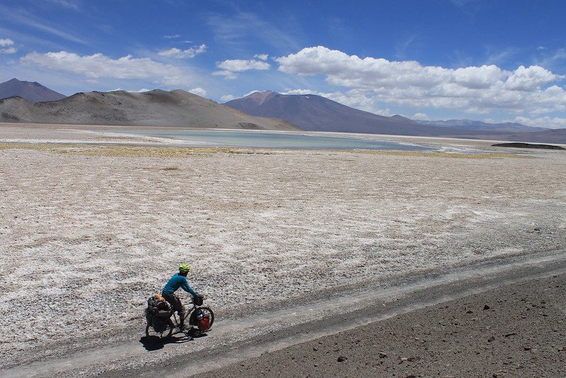
This provisioning proved necessary; the roads and jeep tracks our GPS led us down were as wonderfully beautiful and deserted as anticipated. More so, in fact. No chance encounters with miners handing out fresh fruit. No 4×4 tourist expeditions eager to assist with snacks and drinks. We saw not a soul for eight days. In this time we dragged our bikes to the foot of mighty Llullaillaco, dominant peak of the northern Puna, summitted, then continued southeast, crossing salar after salar. The tracks were tricky, rarely used, often sandy. Herds of vicuñas, covering vast distances each day between water sources, were our only company.
This remoteness was liberating. Usually we thought it thrilling; occasionally daunting. With no phones, or tracking device, if anything were to go amiss it would be a long old traipse for assistance.
A brief reentrance into the grand sphere of humanity came in the most unlikely of places – we espied a pickup truck parked at Volcan Antofalla high camp at 5350m. Soon joined by its four occupants, we chatted a few minutes as they packed up camp. They’d just made the 10th ascent of the volcano in the past decade. The following day we made the 11th.
Mountains climbed, all that was left was to reach Antofagasta. A swim through sand to Caballo Muerto was followed by descent to sad little Antofalla. Only tourism or mining can save this dying village. The young are leaving, and who can blame them? There’s a whole world out there. And here? No hay nada.
16 days out of San Pedro we rolled into Antofagasta’s eerily quiet plaza. Chuffed, but tired, a much needed three day weight-gain programme was soon initiated.
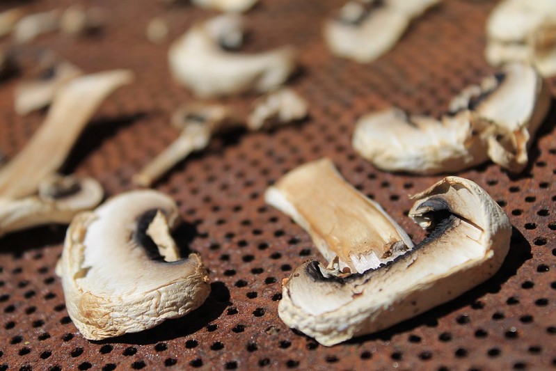
Drying ‘shrooms in the hot San Pedro sun. They were ready in a couple of hours, as were the carrots.
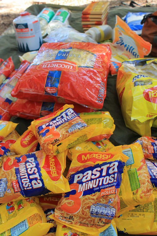
Some of our food for the 17 days we were expecting to take to reach the next shop in Antofagasta. It weighed in at just under 29kg (between us).
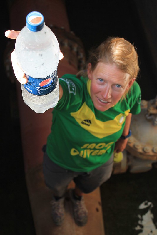
The first 100km out of San Pedro were as easy as they come – flat and paved. Then we left Peine, the last Chilean village, and the surface deteriorated as the temperatures soared. Though we left Peine with 10 litres of water each, which we expectedto last 2.5 days to the border, we soon realize this is nowhere near enough. In the heat of the day, Neil’s cycle computer registers 49C (we know this ‘has no scientific meaning’, but include it partly as an interesting fact-let, but mostly just to annoy Neil’s dad). Finding this concrete structure with some leaky pipes was therefore quite exciting.
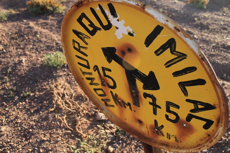
The roadsigns on this route were of the 1960 and 1970 variety – almost all to abandoned stations on the old international railway line. This was one of the most charming – we camped by it on our third day.
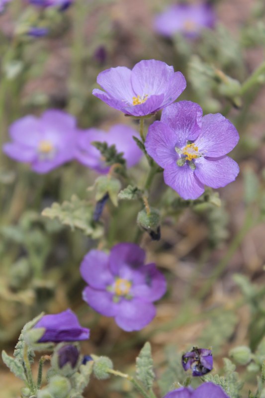
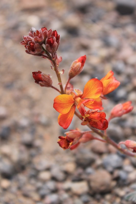
Between San Pedro and the border the landscape was pure desert – arid, brown and dull. There were still a few colourful flowers around however. Like these beauties….
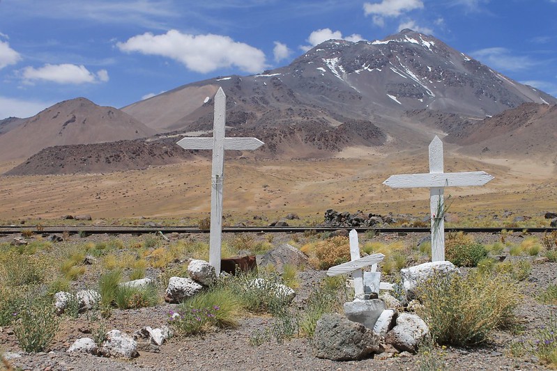
Until we reached Paso Socompa we didn’t know whether the Carabineros there would actually allow us to cross. Though we’d already obtained our Chile exit stamps in San Pedro (the immigration guys there had just assumed we were leaving via Paso Sico), we’d been told by some officials that the Argies might not let us in. We needn’t have worried. This is the small graveyard at Socompa, with the volcano of the same name behind.
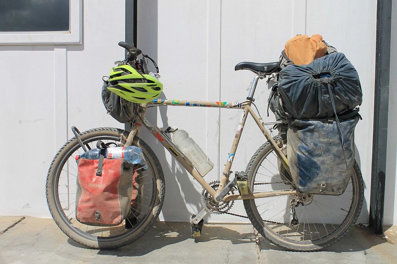
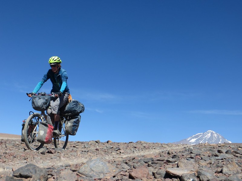
The heaviest Pike’s bike has ever been. 17 litres of water, 14 days (11kg) of food, 10kg of trekking kit. All added up to 65-70kg, including the bici. And some people always tour with bikes this heavy? Ugh.
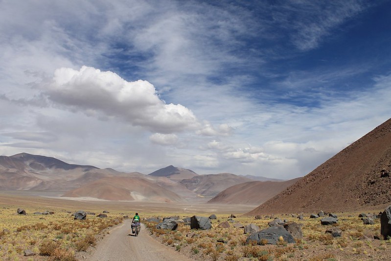
The scenery on the Chilean side was so dull that we began questioning whether we would still likethe Puna in Argentina. We need not have feared. From the moment our descent from the border began, we were back in love…
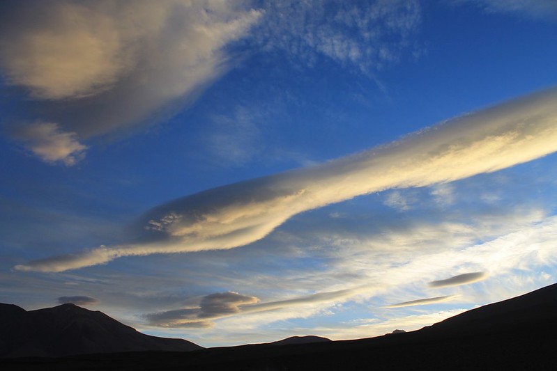
The fourth night saw us camp at the turn off onto the road to Llullaillaco. At dusk the aliens arrive.
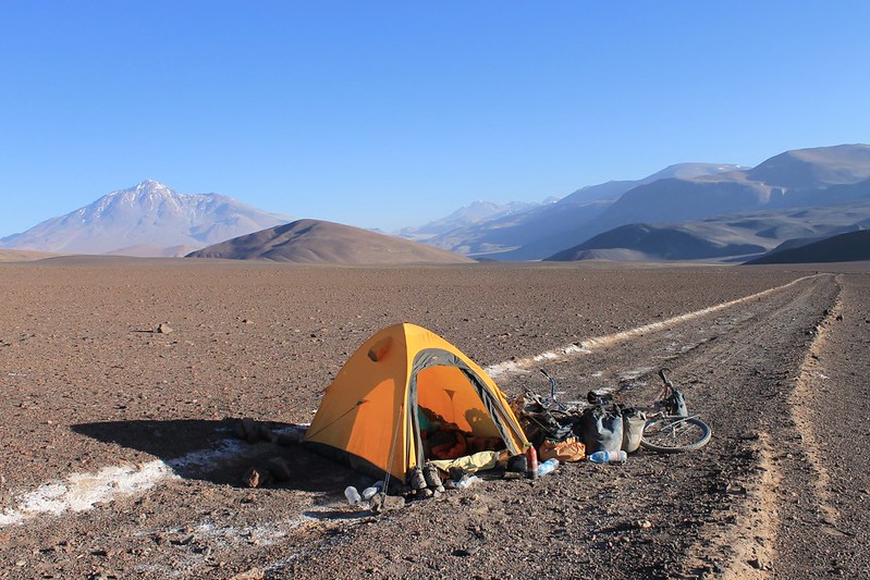
But as the track looks like it hasn’t been used by a vehicle in the past decade at least we don’t have to push off the road to find a flat camp spot.
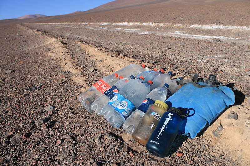
Our water reserves on the way to Llullaillaco. The next source proved to be penitentes at 5100m, just above our base camp on the mountain.
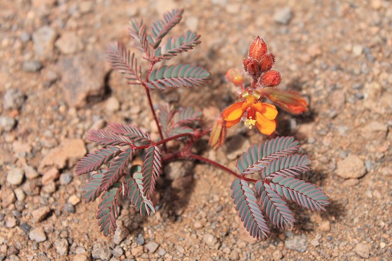
Dry the Atacama may be, but there is a bit of rainfall on the Argie side. Enough for these delicate little plants to thrive.
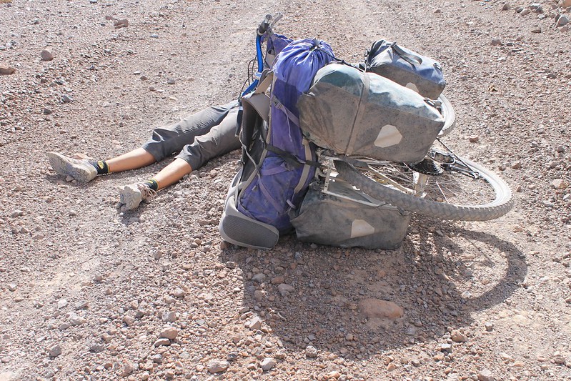
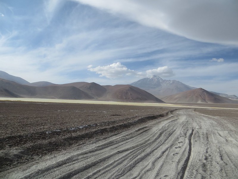
The tracks to Llullaillaco turn out to be better than expected, and almost all rideable until the afternoon wind picks up. Then we begin getting tired…
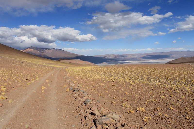
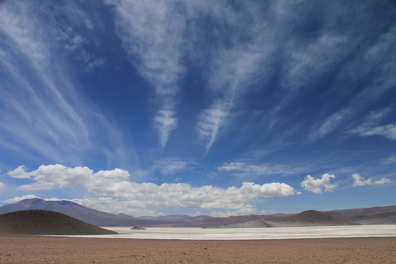
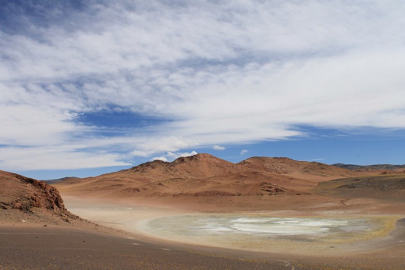
But the views revive us. Love the colours in this part of the world. The Salina de Llullaillaco is the low, flat white thing on the right.
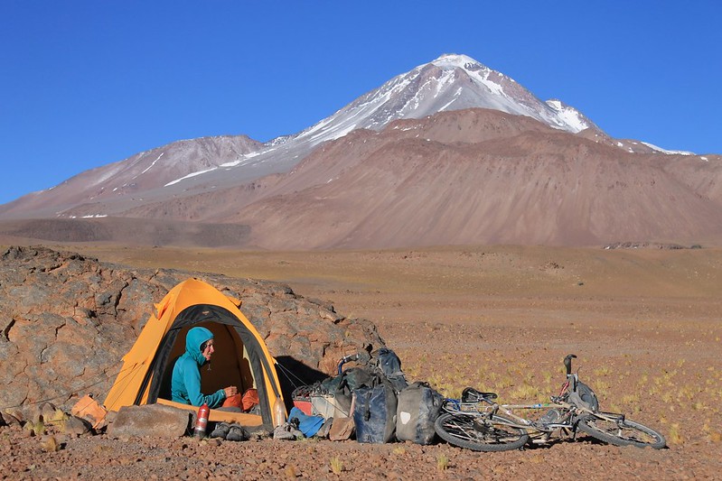
Our camp behind the shelter of a rock is a good one. Llullaillaco dominates the site, and the whole area – there’s no higher peak between Ojos a few hundred kms to the south, and Huascaran up in Peru.
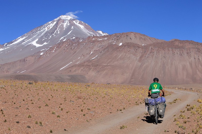
In the morning it’s only 8km to the point we’ve chosen to leave the bikes. It was a lovely 2 hour ride.
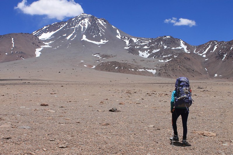
An hour long repack at 4600m sees us ready to head to the peak on foot. It’s less than 2 hours of walking until we reach the lowest convenient penitentes – they’re the ones in the red little patch in a line directly below the summit.
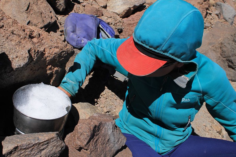
Seeing as it’s been a while since we melted penitentes, we’d forgotten how long it takes. 18 litres and 3 hours later we’ve finally got what we think is enough for the evening, and then to take down the mountain with us to continue the cycle to Mina La Casualidad.
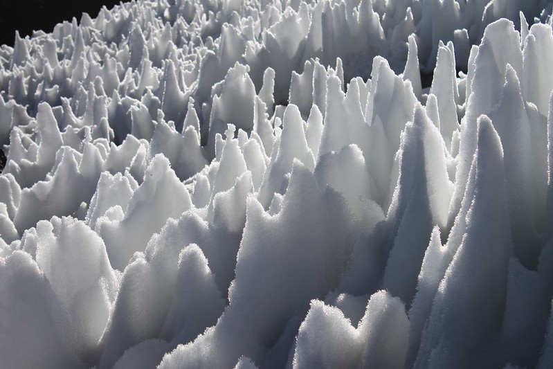
While Haz melts the snow, Pike’s in charge of knocking over the penitentes and bringing them to the pot…
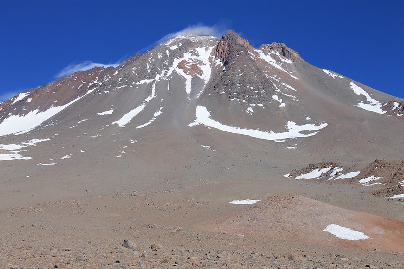
In the morning, there’s some wind up top, but otherwise the weather is perfect. We head up to the right (then climb up the NE gulley, which is between the two rocky ribs on the right, near the top of the mountain).
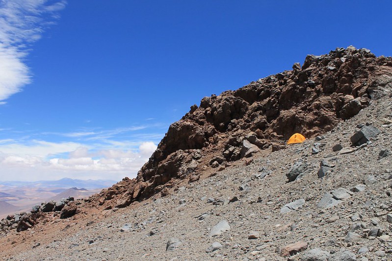
By lunch we’ve found a good, sheltered high camp. At 5930m it’s the highest we’ve ever slept. As we’re so well acclimatized, we both sleep superbly.
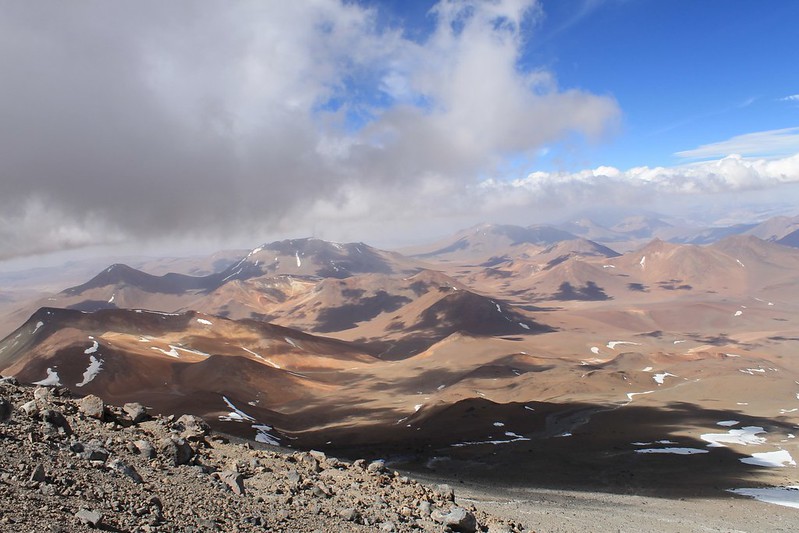
We spend the afternoon wandering, trying to work out which is the best way up in the morning. Few people climb the peak, but we do find a set of footprints which prove quite helpful.
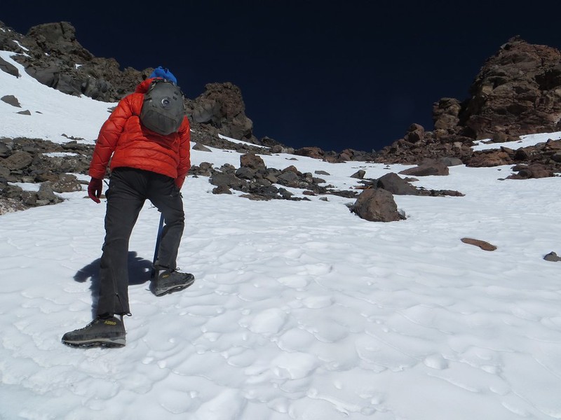
As has become our custom on the Puna, we don’t bother leaving too early in the morning. Though it’s only -11C at dawn, we don’t set off until 07:15, about half an hour after the sun hits our tent. Here we are in that gulley.
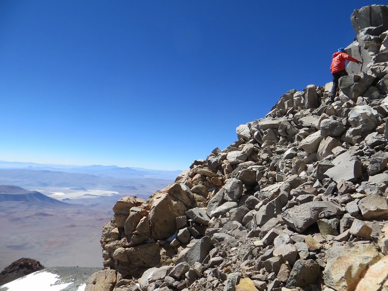
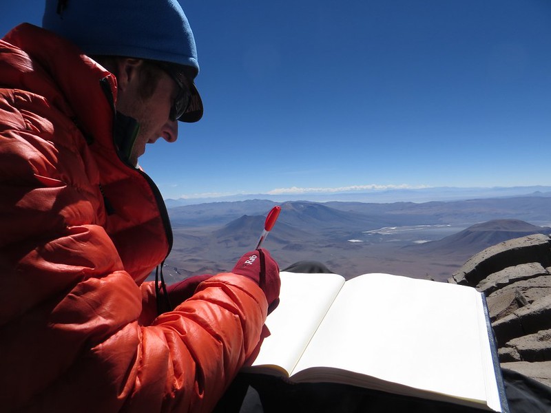
The going is mostly on reasonably steep scree, to about 6500m where we reach some Inca ruins, and a path coming from the north, which is the usual route up the mountain. From here it’s gentle and easy to 6730m, and some more Inca ruins. As far as we know, this is the highest archaelogical site in the world. The last 20m (in the photo) to the summit are a bit rocky, but we’re on the top by 10:45.
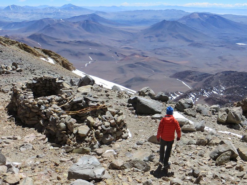
Then we descend, past the Inca ruins. High on the mountain are many stray bits of wood, which once formed the roofs for these buildings. Though the wood is over 500 years old, we could easily have been persuaded it had been taken up there only the week before.
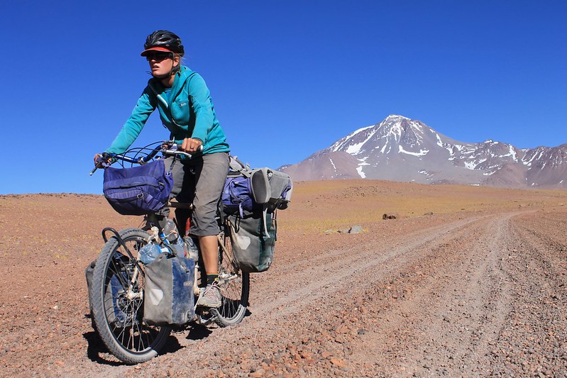
We make it back to the bikes on summit day, then continue in the morning. Our GE investigations hadn’t thrown up a jeep track from the base of the peak for about 5km in the direction of the Salina de Llullaillaco, but luckily one exists and the surface is ok.
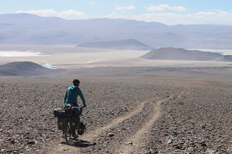
Though it doesn’t look far when we set off in the morning, the Salina is below 3800m, an 850m descent – far further than we’d been expecting.
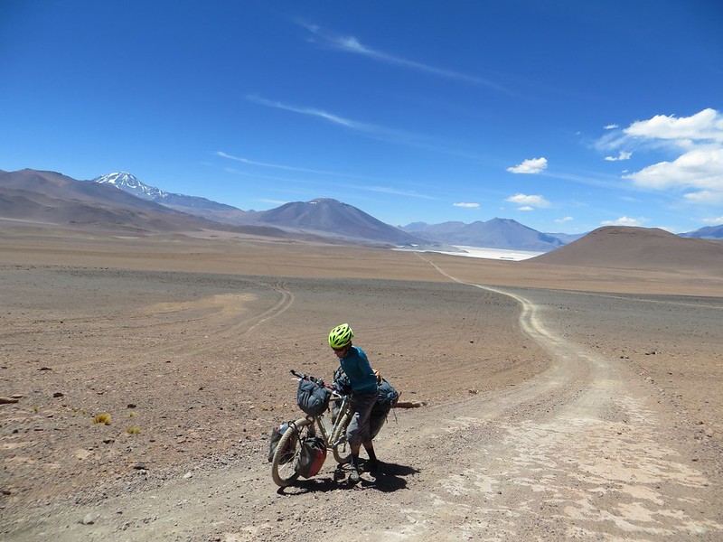
The surface remains pretty good as we climb above the Salina and over towards Mina La Casualidad. A few short steep section see us pushing, because of our heavy bikes.
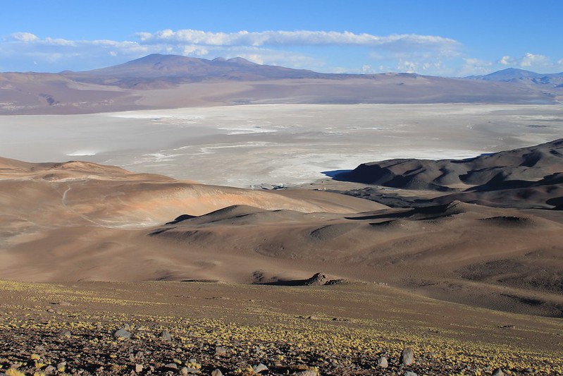
Each day we cycle until the sun goes down, or we’re too tired to continue. To our surprise the daily schedule turns out to be almost exactly the same as the 17 day plan we drew up in San Pedro. The only difference being that the 60km road from Llullaillaco to Mina La Casualidad is far better than expected and we reach the abandoned mine in a day, rather than the 2 we’d envisaged.
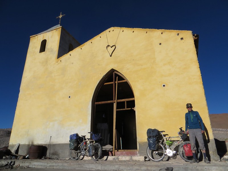
Arriving at the mine/town the wind is howling, for the only time all trip. Most of the buildings at La Casualidad have fallen in and no longer have roofs, but the church is still structurally sound. We roll out our Thermarests and spend a comfortable night by the altar.
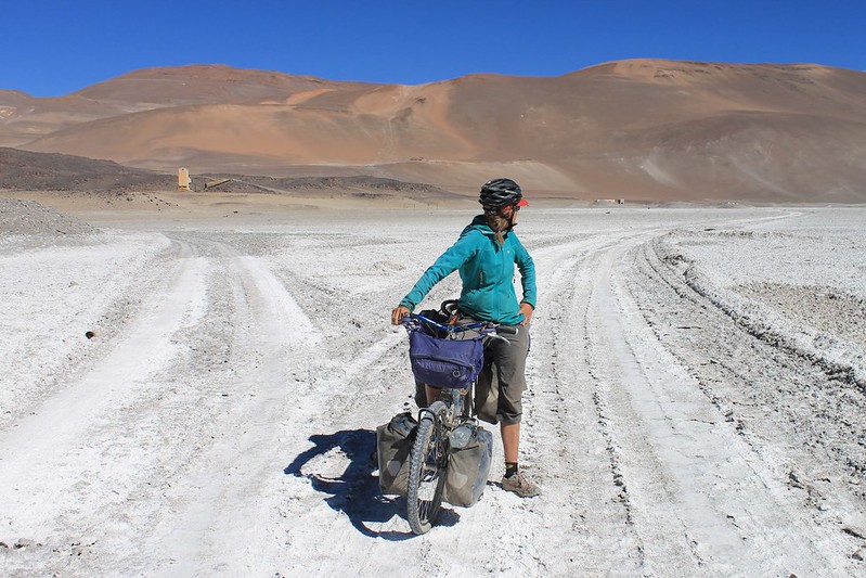
Six days after leaving the border guards and we nearly have a human encounter at the mine on Salar de Rio Grande. But though we come across some portacabins, which are lived in, all the miners are at work on the other side of the Salar. Fortunately they’ve left their dining room door open and we’re able to fill our water bottles from their water dispenser, leave a thank you note, then continue.
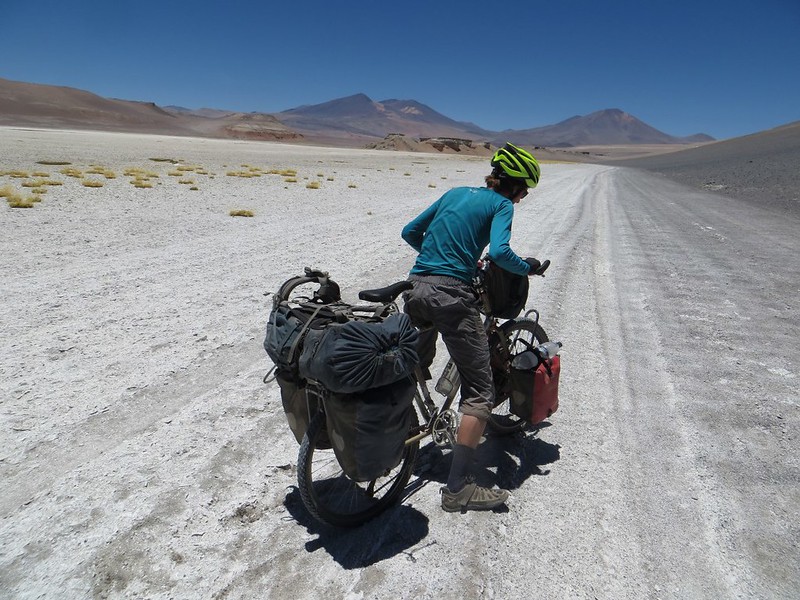
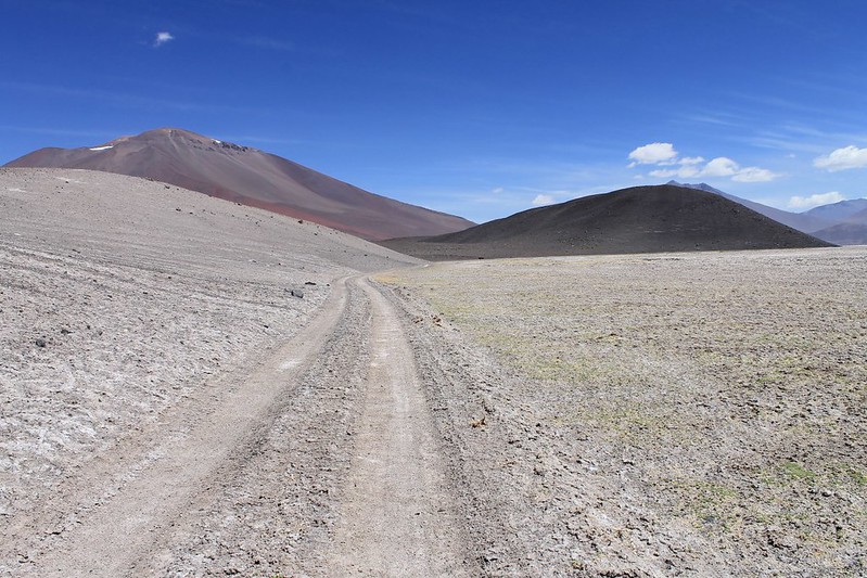
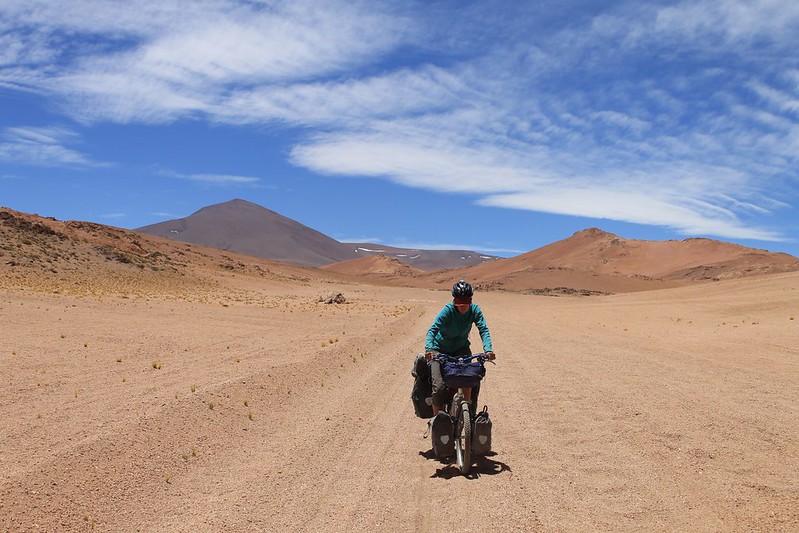
The road’s ok for a while, then deteriorates. Sometimes off road is better, sometimes not. We flick between one and the other.
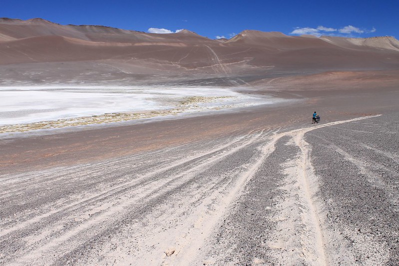
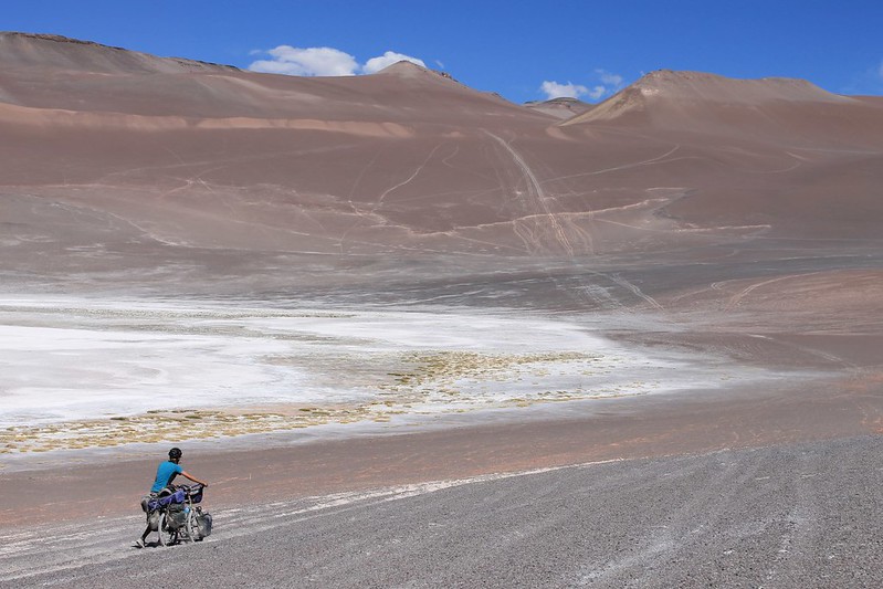
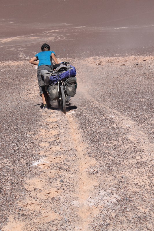
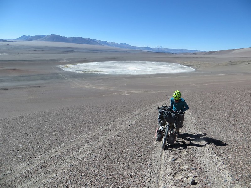
Do we go up the ‘down track’, which shoots directly down the mountain at 30-40%? Or do we take the more circuitous ‘up track’, which takes a more leisurely 15-25% gradient? We have plenty of time to ponder this on the 5km push to get to the base of the hill.
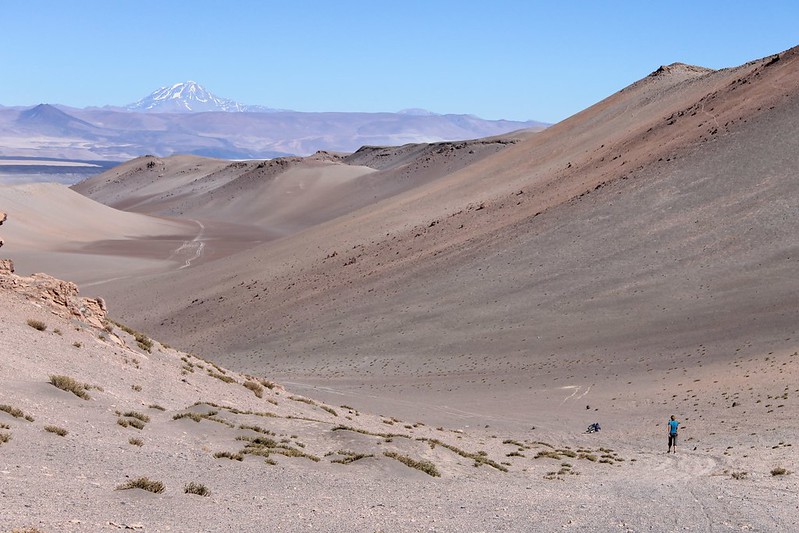
But on the really steep parts it’s 2 people to each Surly. First we push up Haz’s, then go back for Pike’s. Llullaillaco (over 2 days away by bike) still dominates in the distance.
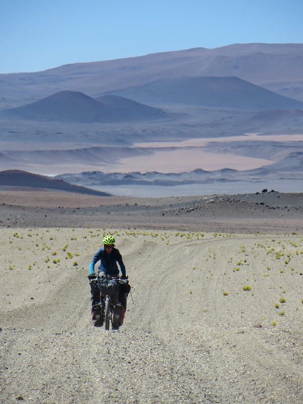
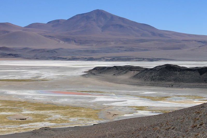
After an afternoon and then a few morning hours of pushing, we’re riding again, and descending to the Salar de Archibarca.
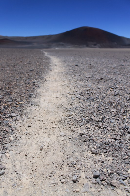
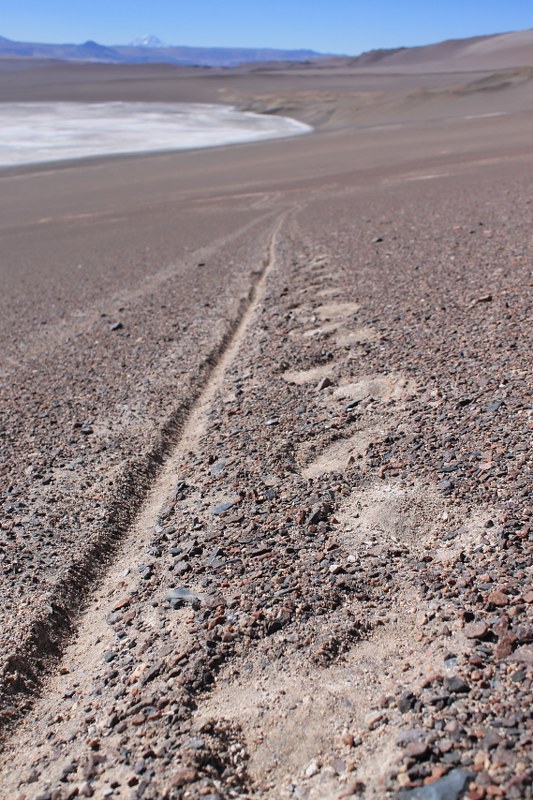
In these parts, vicuñas are our only company. So few people do they see, that some of them are even relatively tame and come and inspect our tent one morning. They’re creatures of habit, and we often come across tracks like these.
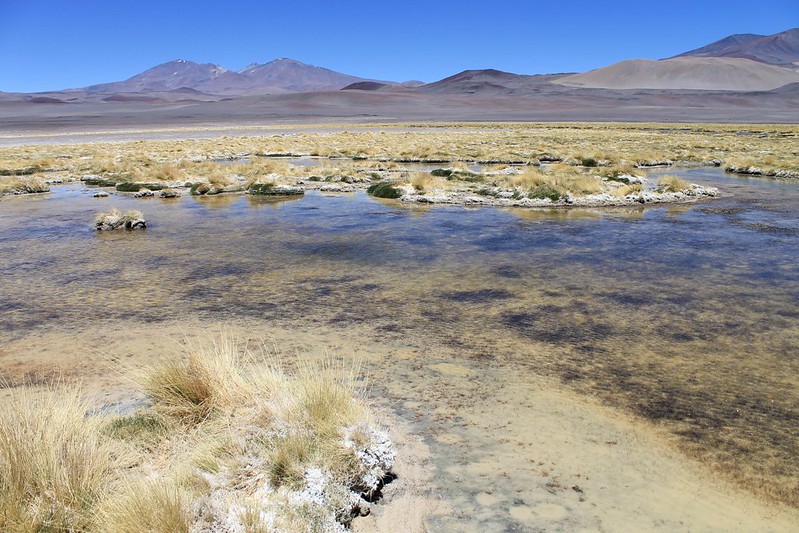
At the Salar de Archibarca is a water source, but we never find it. This water is too salty and dirty to drink. We’ve still got some litres left however, and know we’ll be able to melt more penitentes on Volcan Antofalla, where we’re headed next (it’s the lump on the left of the shot).
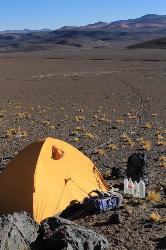
By early afternoon we’re too tired to continue, and set up camp further than we’d hoped from the peak. This is at about 4450m, and still 14km in a straight line from the summit.
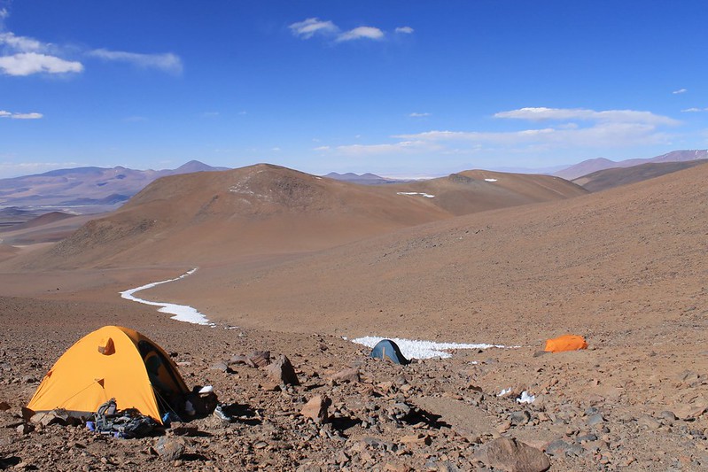
The following day comes that unlikely meeting with some other humans. From 5km away we spy something shiny, but it’s flickering and we decide it must be some kind of fabric left behind by previous hikers. But no, it’s a 4×4 parked at 5350m, and the heat haze is making it shimmer. After setting up our high camp, it’s hours before the occupants of the 4×4 and tents return. They’re locals from Antofagasta, and have climbed the mountain without any acclimatization (other than from living at 3400m). They’ve taken an age over it – more than 10 hours to get up to the summit and back, and when they return look absolutely shattered.
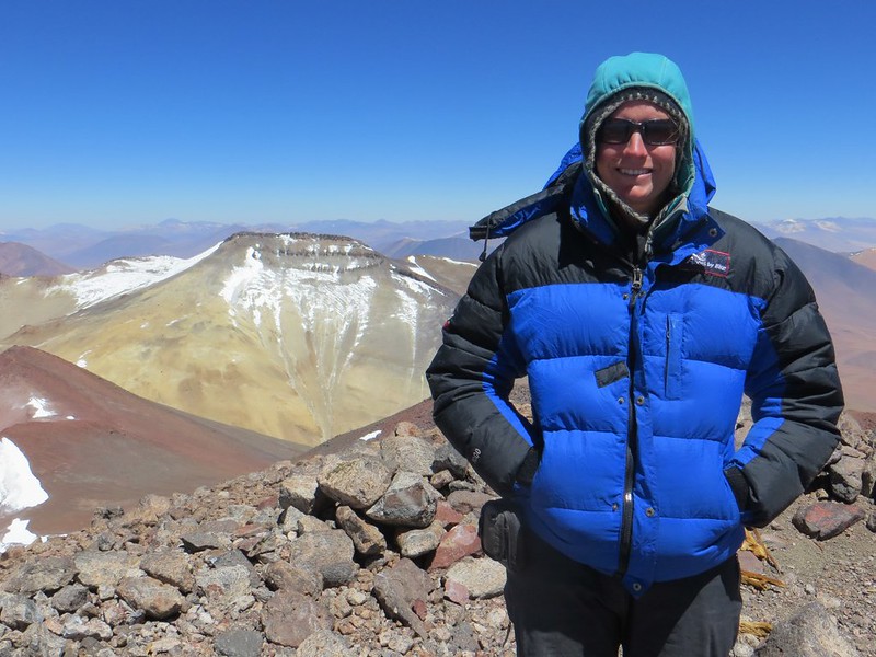
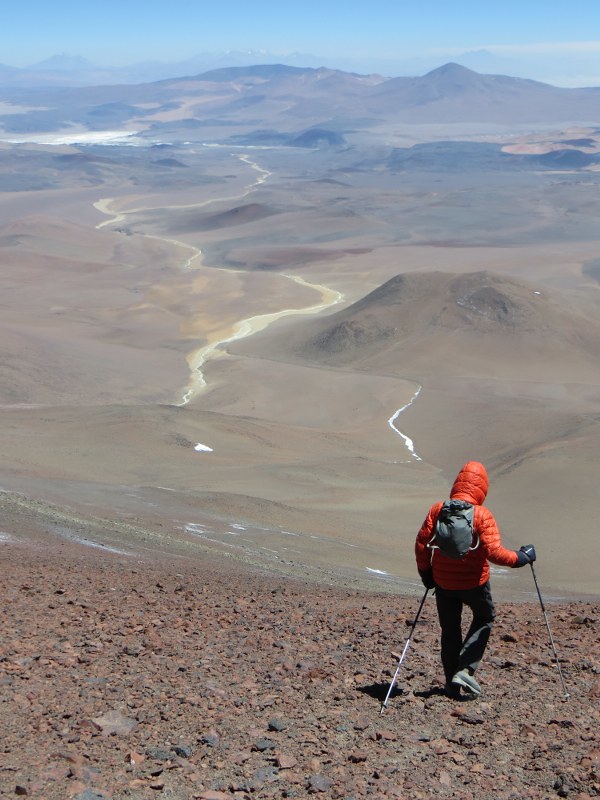
The weather remains perfect and we’re on the top before 11:00 the next morning. It’s a fantastic spot, with some more Inca ruins, and superb panoramas in all directions. Llullaillaco is to the NW, and our next target, El Condor, is just visible to the S.
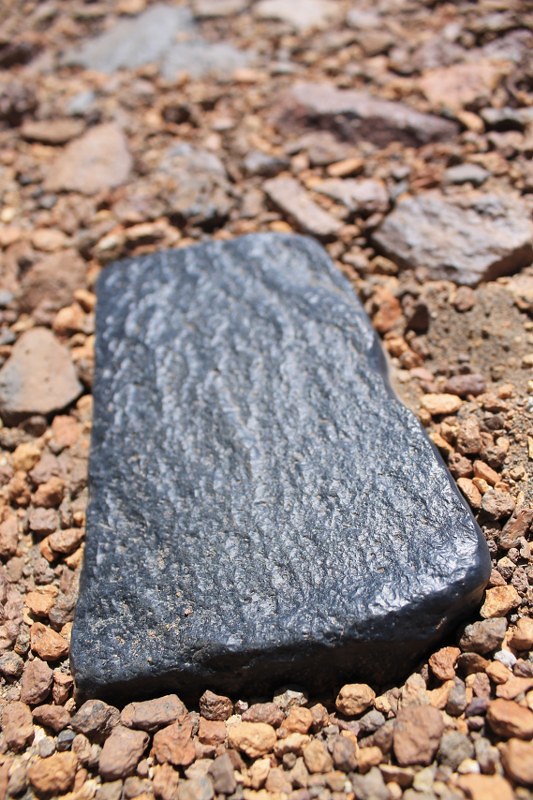
The rocks in this area are mesmerizing. Had we been leaving in a 4×4, rather than on bikes, we’d probably have taken about 5kg of these black volcanic beauties each.
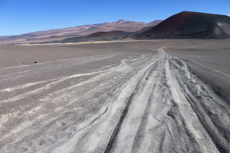
Descending the 10km back to the Salar de Archibarca makes us realize why we’d been so tired climbing up in the opposite direction.
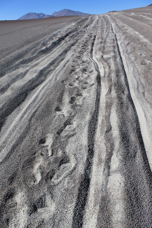
Most of the descent (right hand track) we’re able to ride. The footprints give away the fact that much of the climb we were pushing…
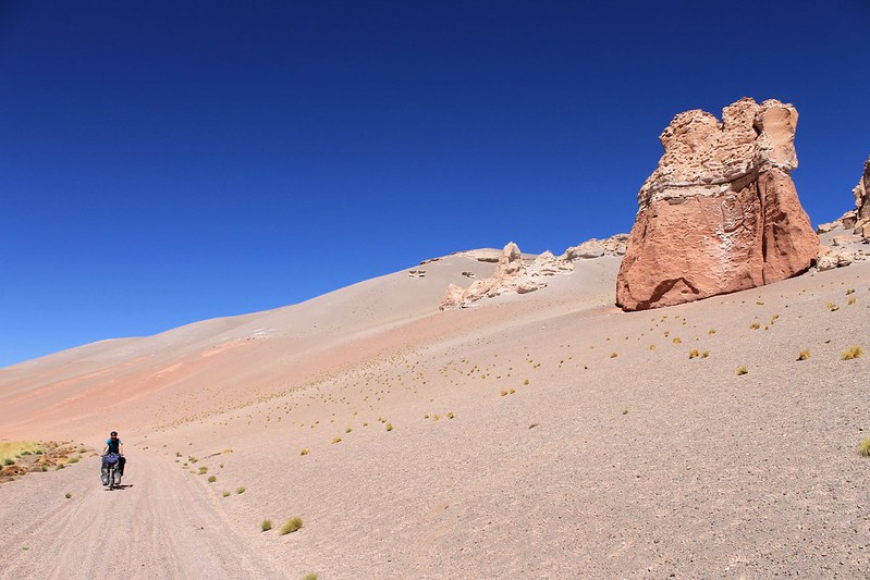
Then comes another climb above the Salar de Archibarca. It isn’t long, but it’s a bitch. The first part is rideable….
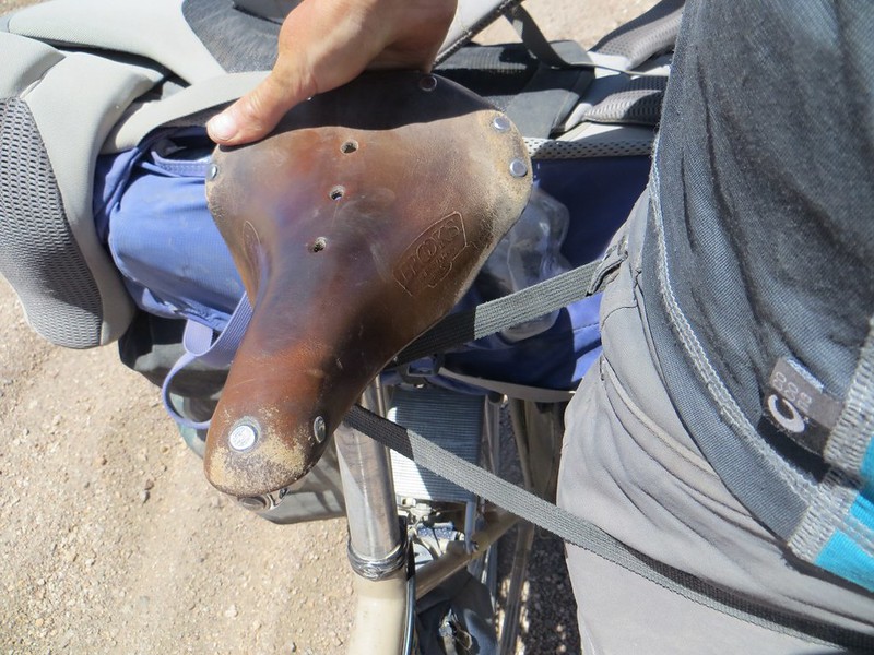
…but then it becomes so sandy that we’re forced to improvise harnesses. These webbing straps really are very useful.
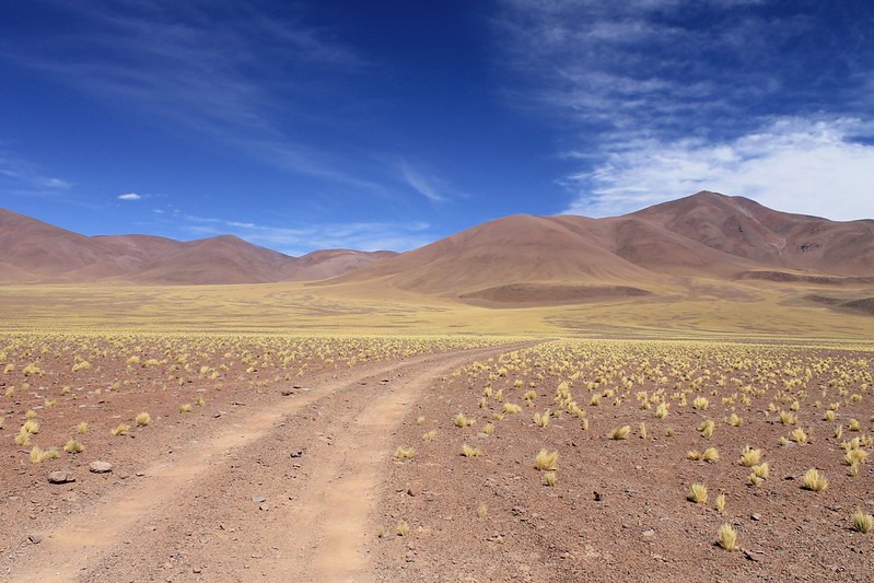
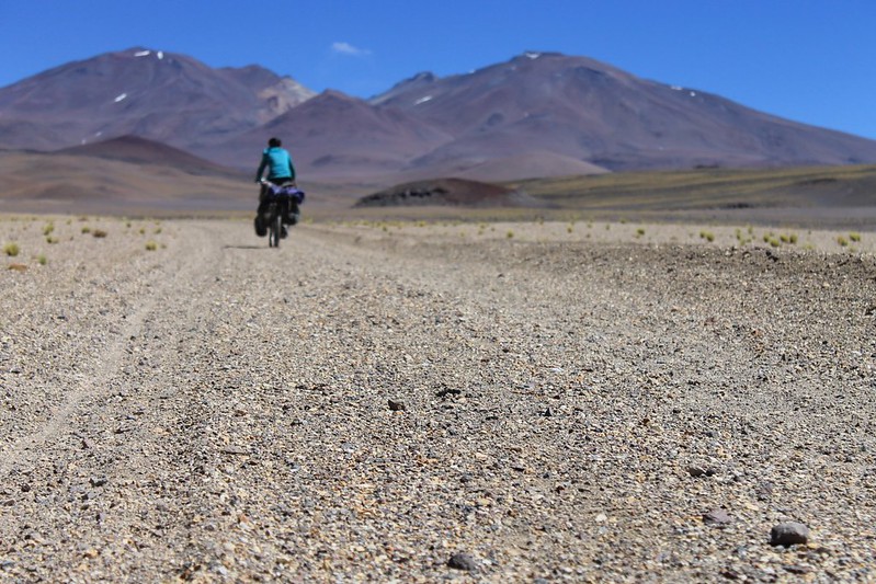
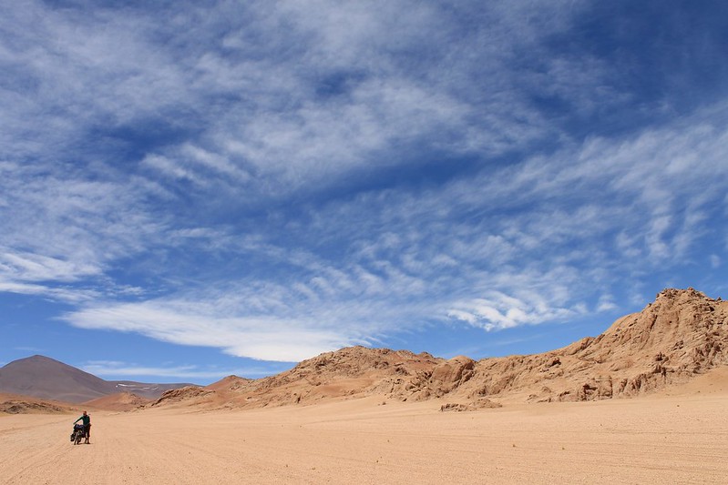
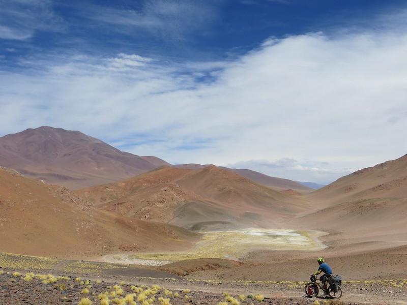
Then we reach a larger road, the motorway from Antofalla village to Tolar Grande. The surface improves, we can ride it all again. The colours are fabulous (we promise we haven’t touched up any of these shots on the computer).
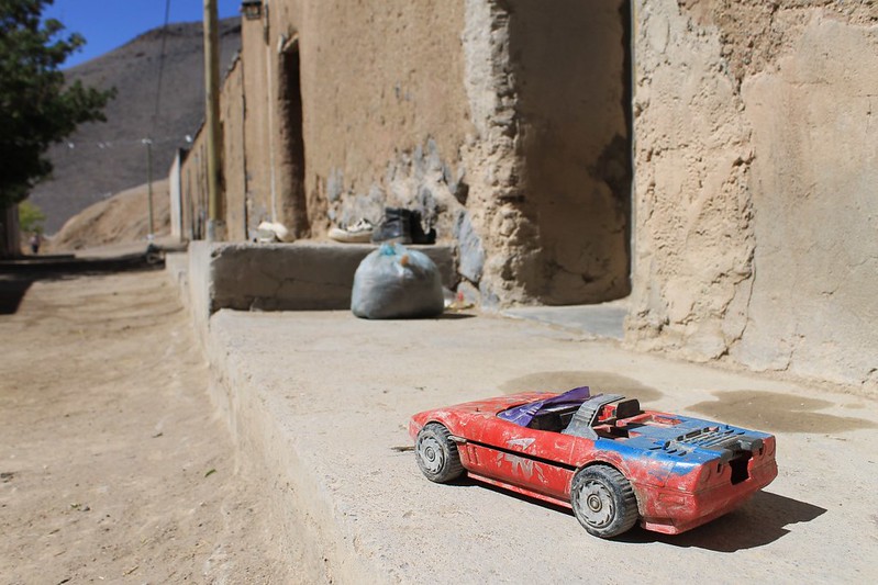
But Antofalla village is a sad, dying little place – the likes of which you come across all the time in Bolivia, but rarely see in Argentina. We see our second car in 11 days. It’s sportier that the usual 4x4s you see in this area.
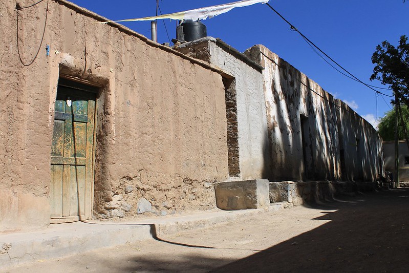
Until the late 1980s, when the ‘road’ from Antofagasta was completed, Antofalla was cut off from the rest of the world. In those days the residents stayed, but now the young know what they’re missing…
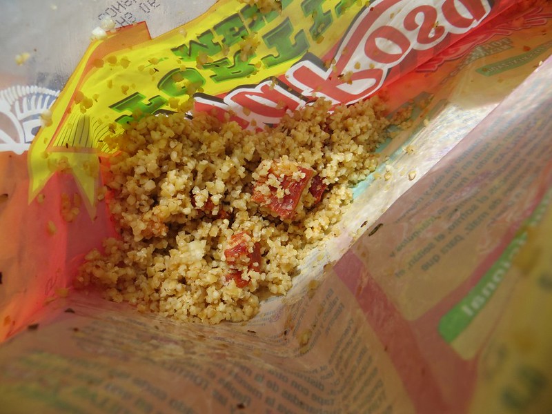
The climb from the Salar de Antofalla over towards Antofagasta begins steeply. It’s not long before we stop for an early bulghur wheat lunch. And for Haz to fix her rear derailleur which was bent in a fall on day 3 (Pike: (having not seen an animal in 2 days) Ooh look, a fox!; Haz: Where? (Looks left, falls off bike in the sand)). For 10 days her lowest gear wouldn’t work, and we didn’t want to risk bending the derailleur in the middle of nowhere, in case it snapped. But some careful pressure bends it back into position and 1:1 begins working again, sort of.
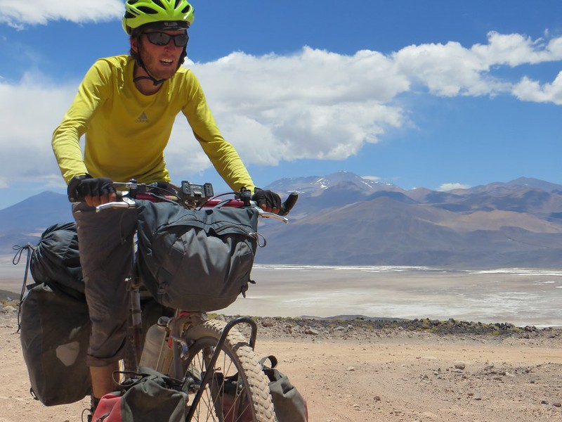
By this time we’re itching to get to Antofagasta and some food. Though we’ve eaten well for 15 days, we haven’t eaten nearly enough. Pike is heard to mutter that he’s ‘slowly starving’ on a number of occasions. (On reaching Fiambala a few weeks later, the pharmacy scales prove he was only slightly exaggerating.)
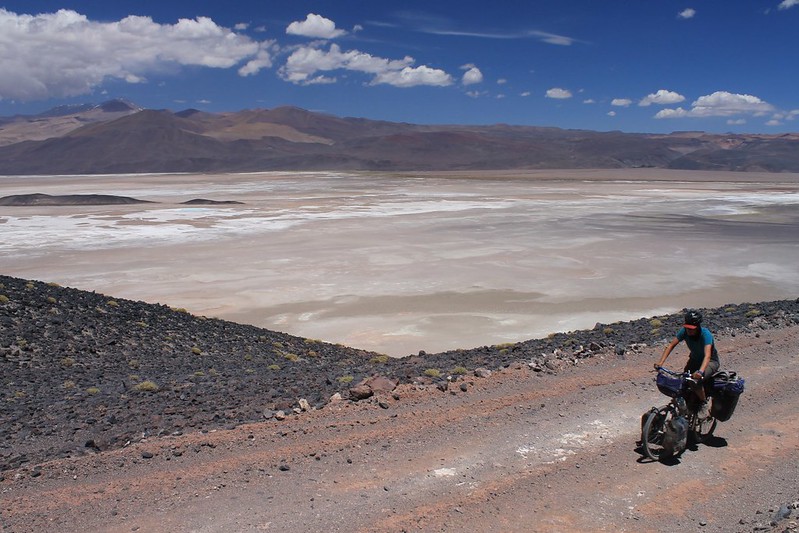
Climbing above the Salar de Antofagasta is thrilling, but we’re too tired to make the 1300m up to the pass before nightfall. When it begins raining (I mean, on the Puna, really) we set up camp.
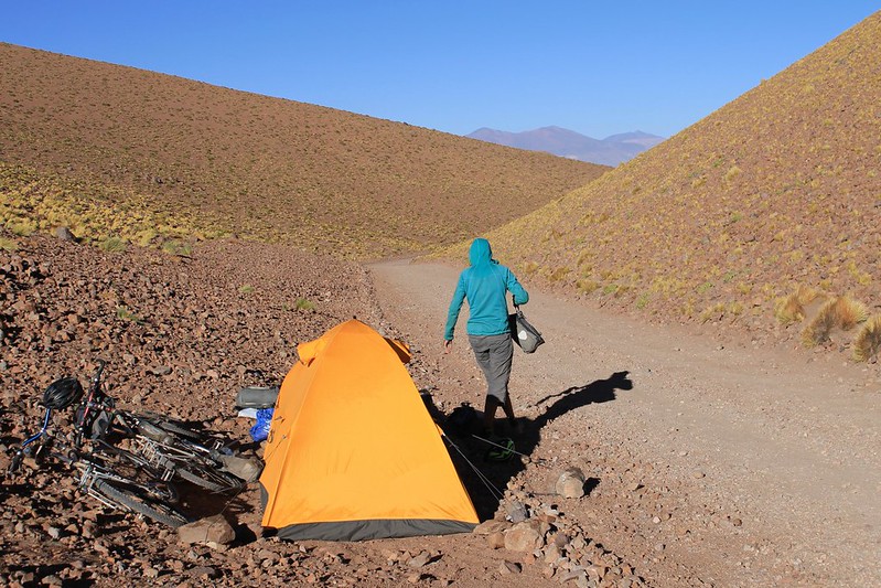
Only just more ‘by the road’ than ‘in the road’. In the morning a confused motorcyclist looks quizzically at the tent as he bumps by.
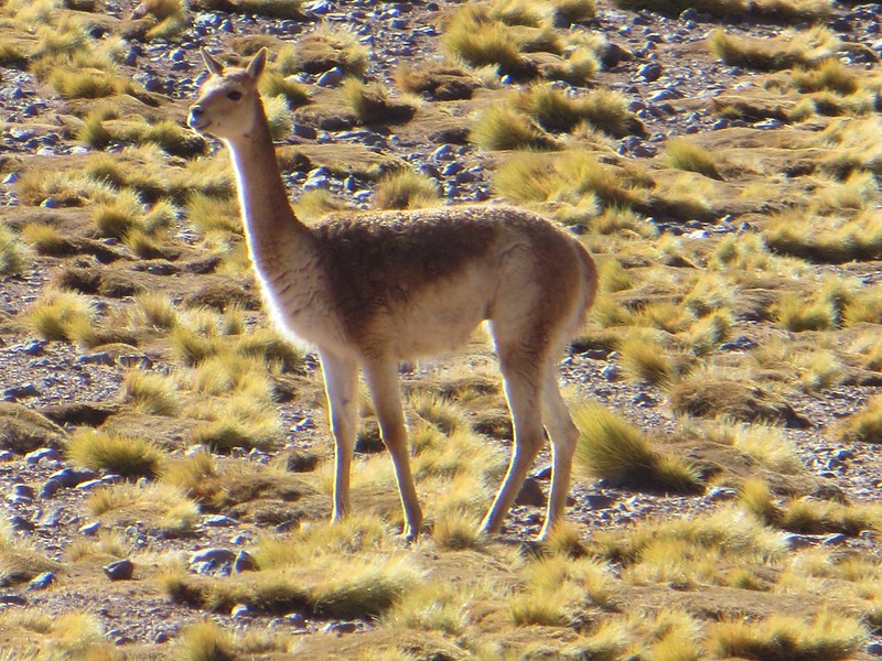
Why did the vicuña cross the road? We really would love to know why these beasts insist on running across in front of any vehicle or cyclist that passes. Is it a game? Is it a dare? If anyone knows the reason, please let us know – it’s something that really puzzles us.
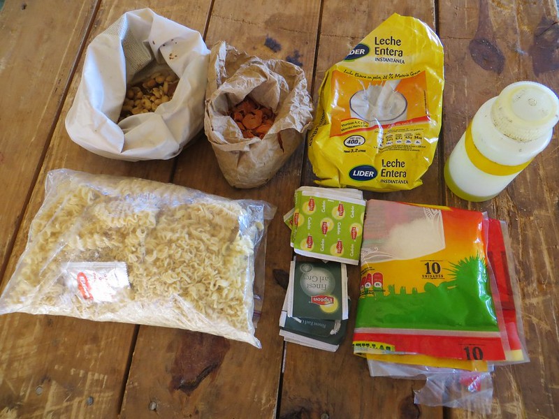
The food that survived. On Day 16 we made it to Antofagasta, and this is all that was left of the original 29kg. We were both ravenous, so went out in search of cake and ice cream. Neither of which could be found….
[flickr_set id="72157639251185463"]
This was super!
Congrats guys!
It is maybe the 5th time i’ve read this post. Has been a while since me and my wife are thinking about doing this.
– Did you reach the base of Lullaillaco (where you left your bikes) with how many liters of water?
– Was necessary using crampons and piolet on these climbings?
Thanks Guys!!!
Big Hug From your Brazilian Fans!
André and Ana
Hi Andre and Ana,
I am glad you like this blogpost. Thanks for giving me the chance to look over these photos again. We had a few litres of water left when we reached the base of Llullailaco which was good because we were so bored of melting Penitentes that we didn’t want to melt any more. We weren’t exactly sure where the next water source would be so this stage of the trip was a bit scary from that point of view.
We always carried ice axe and crampons and they were necessary on Llullaillaco, Condor, Tres Cruces (x2), Muerto and Pissis, maybe some of the others too but I don’t recall.
Send us an email if you have any other questions,
All the best
Harriet