We’ve never fallen in love with San Pedro de Atacama, despite its evident charms. One of them being that bikes are the most common form of transport. Another being that it’s the launch point for some wonderful trips into the mountains to the east – Paso Sico, or the Bolivian Lagunas, for example.
Recently (on GE, surprise surprise) we spotted another exciting looking route from town: climbing up 5980m Cerro Sairecabur to 5500m, traversing for 5km across its vast crater, then descending a small track on the south side of the mountain, which heads towards Laguna Verde, before veering right, past Licancabur, back to town.
Having met Anna in Huaraz, then again in Uyuni, we were delighted to find her camping in San Pedro, and that for once our plans could coincide for a few days. One of the grittiest people we’ve ever met, Anna has been enjoying way-off-the-beaten-track adventures for years now, since setting off from Alaska in 2009. Being another who puts a healthy dose of ripio into her porridge every morning, this loop was right up her street, and we were pleased that no convincing was needed to persuade her to come along on the trip.
It turned into a good’un.
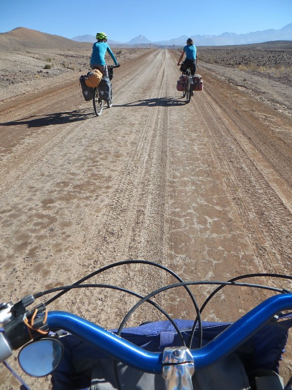
From San Pedro at 2400m, it’s a 60km climb up to the Universidad de Chile telescope at 5540m on Sairecabur. It begins nice and gently with 30km of hard dirt, which is as good as tarmac.
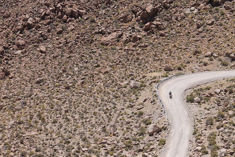
To the mountain turnoff at 4300m the gradients are mostly gentle. There is this one short, steep section however.
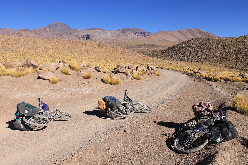
After 44km of near constant climbing we decide to camp at 4450m, right by the track in a spot that will get some nice early sun. The summit of Sairecabur is the breast-shaped hump on the left of the shot. Its huge crater into which the road climbs is to the right.
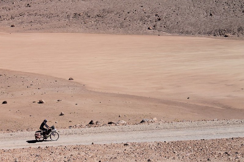
In the morning the climb continues. The surface is reasonably good, though a constant thin layer of sand makes forward motion harder than it otherwise would be.
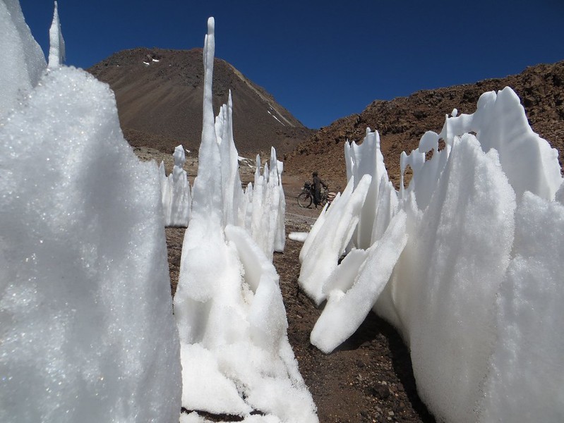
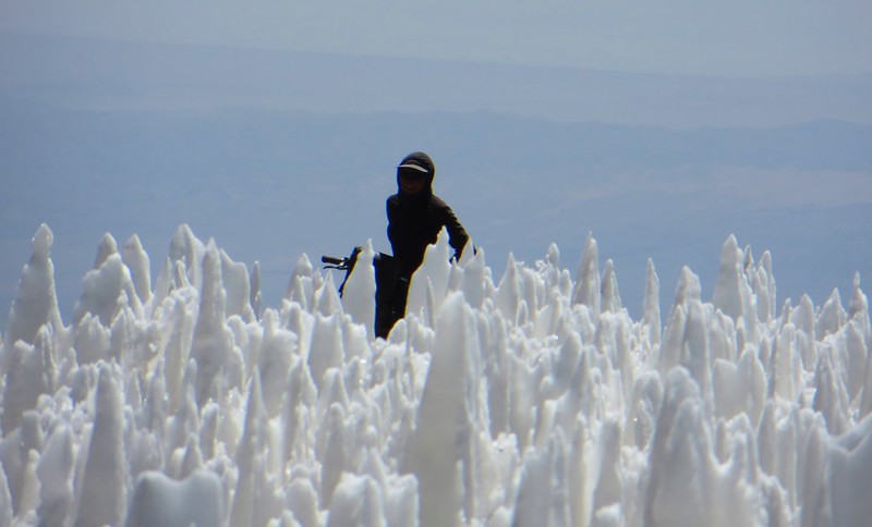
At 5400m the road ceases to be motorable. To this point it had been almost completely rideable, but at this height penitentes block the road’s switchbacks, and it becomes too steep to ride.
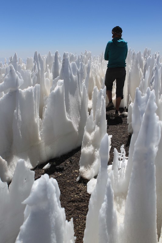
A short wander in the penitente maze….
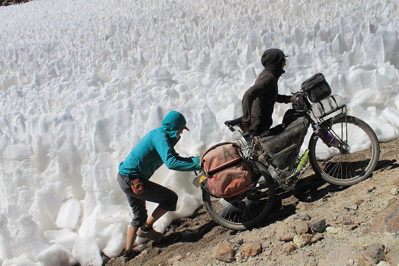
When penitentes block the road, the jeeps make new shortcuts. Some of them are quite steep – two people are needed to shove each bike up the hill. (Neil promises he was holding the camera horizontal for this shot.)
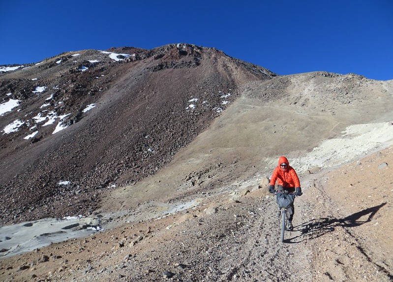
We reach the telescope in mid afternoon and set up camp. In San Pedro we were given some excellent information from the cheery guys at Cumbres 6000, but despite this we’re still not exactly sure about the route up the mountain, so continue up the road to 5670m where a path leads off from a small refugio. The way forward is now clearer.
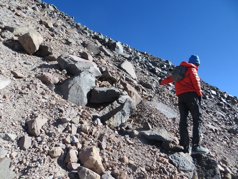
But it turns out to be on horribly loose sand and rocks. Anna is feeling the altitude from our high camp and decides to stay in the tent while we head up to the summit. Probably a good idea – mountain boots and walking poles are necessary up here – equipment she didn’t have with her.
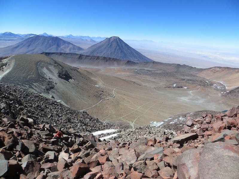
Higher up, we reach the ‘Teta’, or breast’s nipple. It’s a rough scramble over boulders to get to the 5980m top…

…from where there are fantastic panoramas of volcanoes and lakes. The dust from jeeps racing through the Lagunas route is also visible…
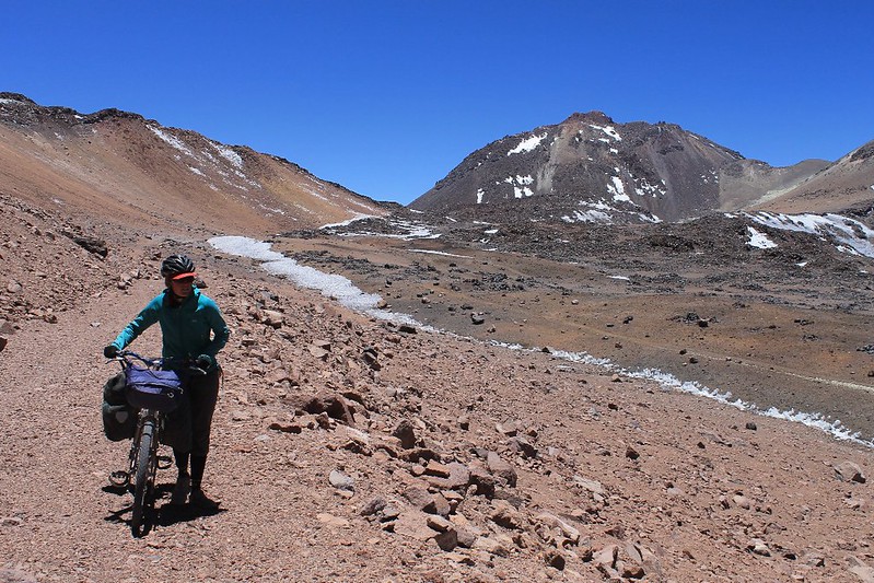
We descend to camp, then head south, pushing our bikes along the crater road, to its southern lip. The giant breast still looms above.
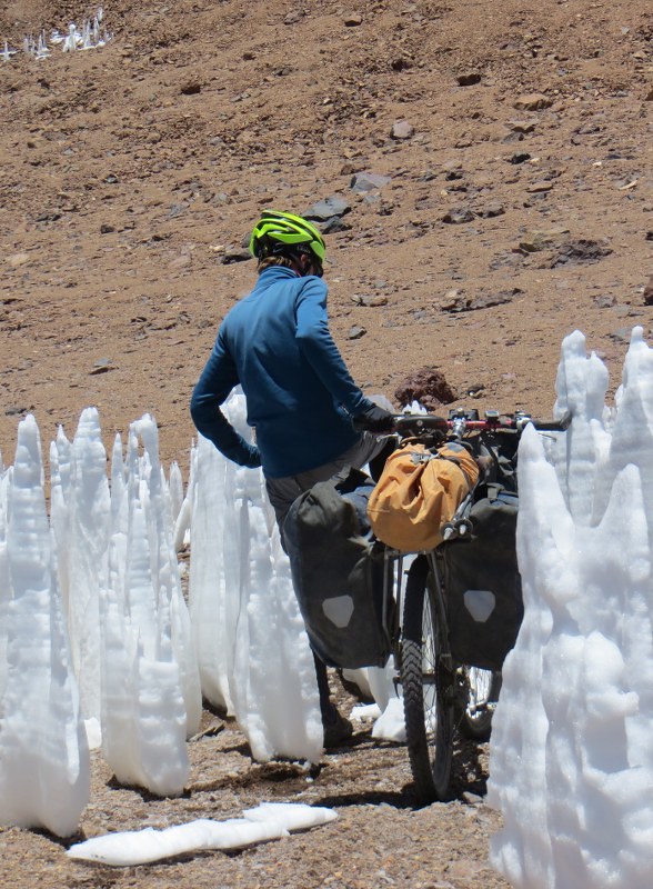
There are a couple of small penitente fields blocking the road in the crater. A swift kick sees them fall like dominoes.
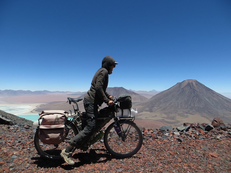
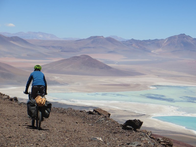
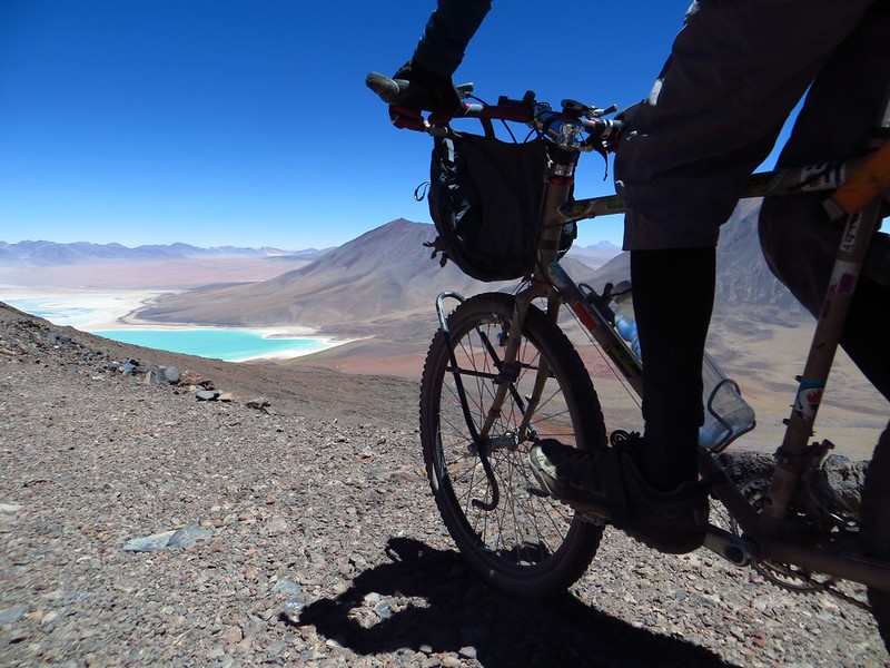
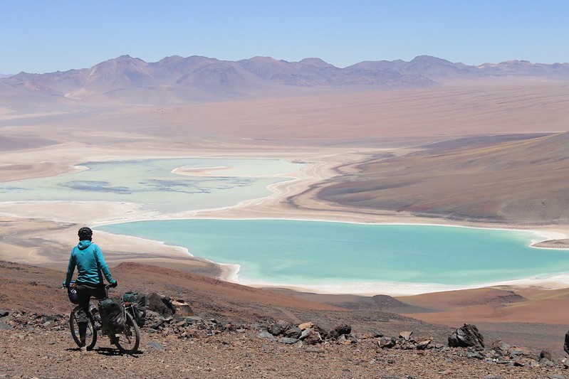
At the lip, the famous Lagunas Blanca and Verde put in an appearance, along with Volcanes Juriques and Licancabur.
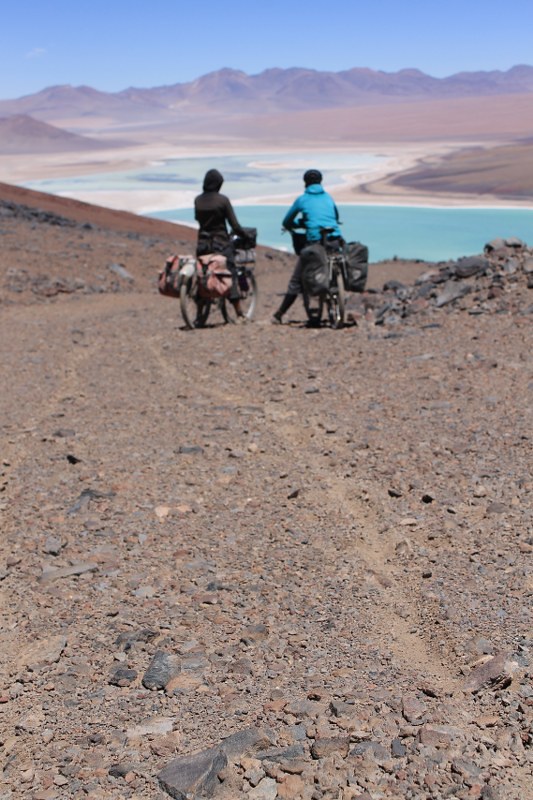
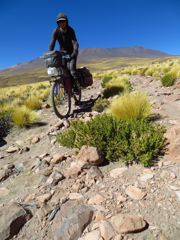
Though from above the surface looks good, it’s all earthy gravel. We don’t so much ride it, as plough it.
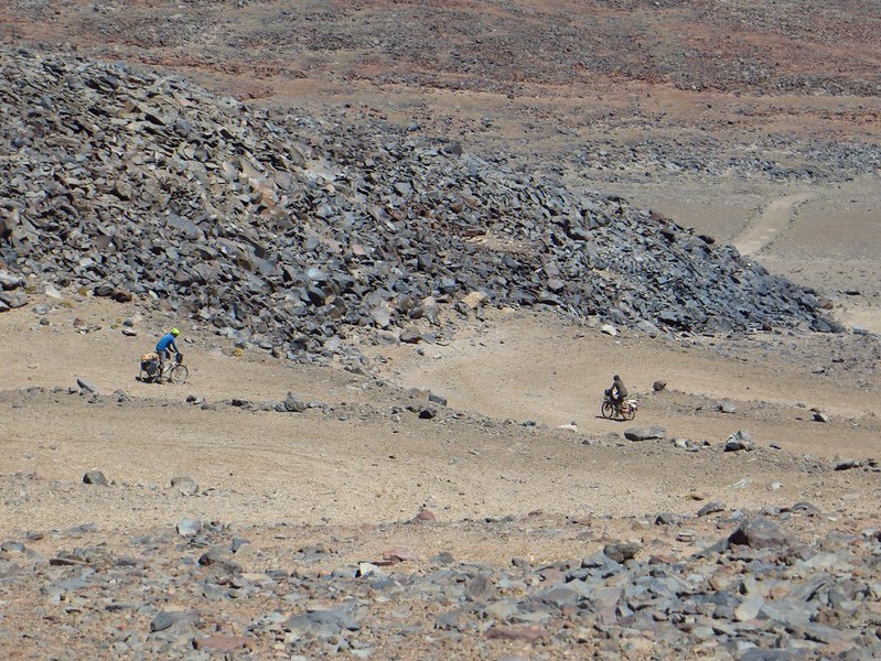
…then begin the tight series of hairpins down to less vertical ground. Neil’s about 50m above Anna here – no head-on collision occurs.
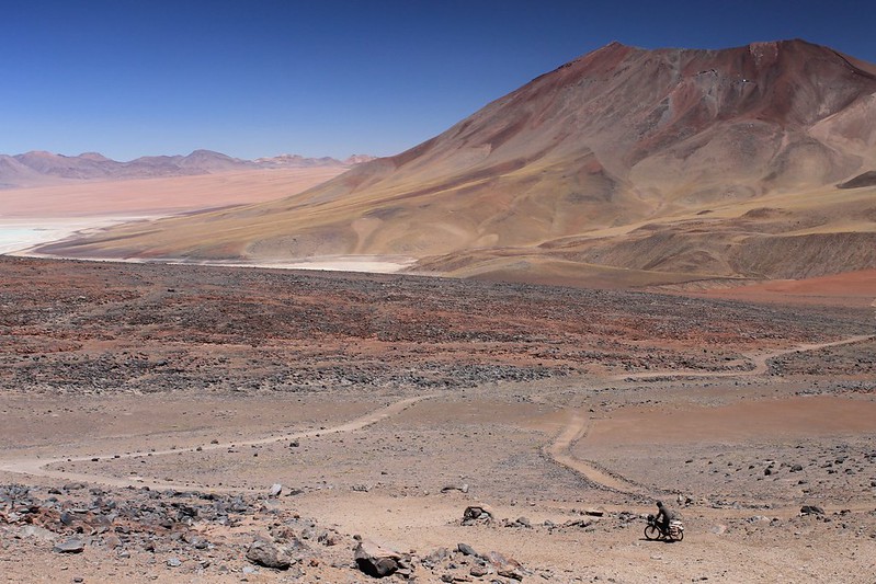
Chile is a country littered with land mines, dating back to Pinochet days. Online maps mark a mine field right here, but we don’t see it from the road, and live to ride another day.
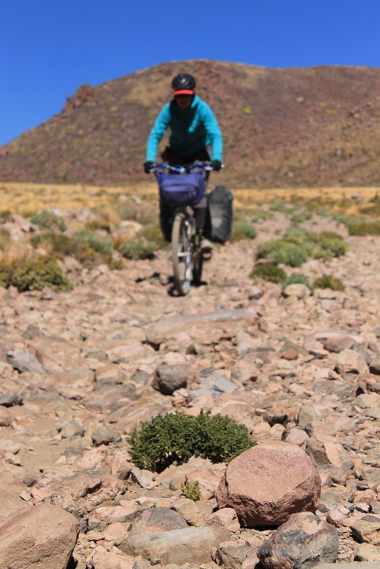
After ploughing three none-too-straight 13km furrows, the road improves and we have visions of being in San Pedro for tea. But these are soon shattered when the track turns into this…
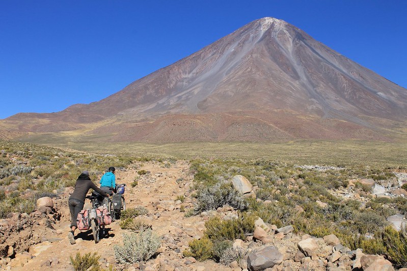
Neil’s Google Earth planning is then shown up to be a bit sloppy. The expected zoom downhill to town hits some small snags, and we go wrong a couple of times. But what’s not to like about a short push back up towards this perfect cone?
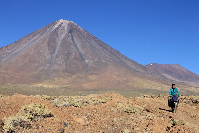
We find a good road with tyre tracks and descend a few kms. Only to discover we’ve gone the length of a peninsula guarded by sheer sided ravines. Time to about-turn again and take that other route…
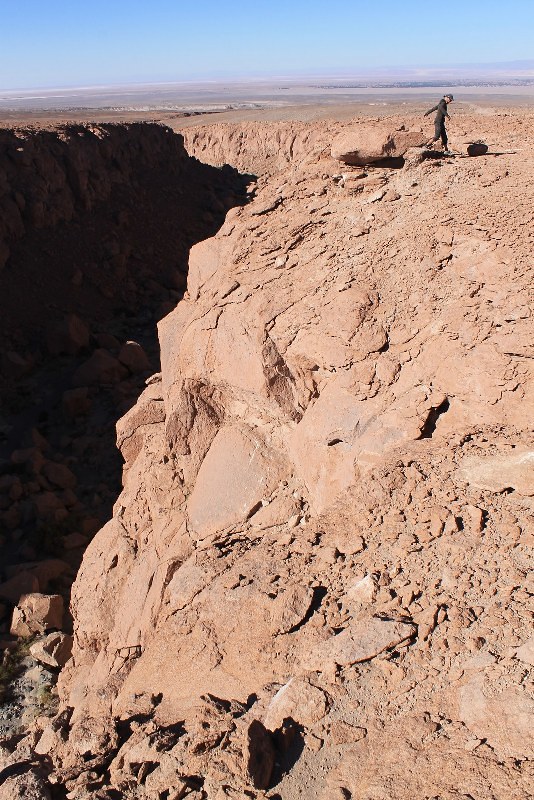
Here’s one of those ravines, the following morning once we’ve found an easy way over it higher up. We were surprised to come across such topography in these parts – it’s normally all gentle rolling plateau and hill.
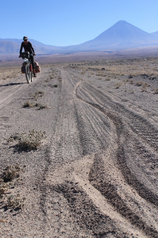
Our progress speeds up, but just before reaching the paving near San Pedro we hit a different surface, and make curves in the sand.
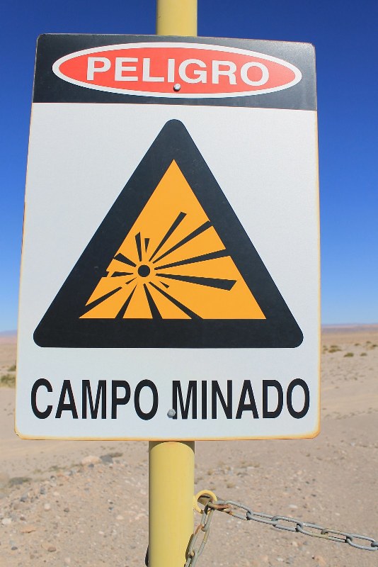
At the junction with the paving is this mine field, only 10km out of tourist central San Pedro. For a nation with pretensions of being a first world country, we find it odd that Chile hasn’t bothered ridding itself of its minefields yet. Still over 160 fields, and 100,000 mines yet to be cleared…
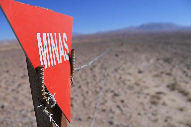
At least the Chilean government claims they’re all clearly marked with warning signs such as this. If true, it makes it pretty difficult to stumble into one by mistake. The huge volcanic cone of Sairecabur lurks in the distance, and our adventure ends as we hit the tarmac and roll down back to town.
[flickr_set id=”72157638184508783″]
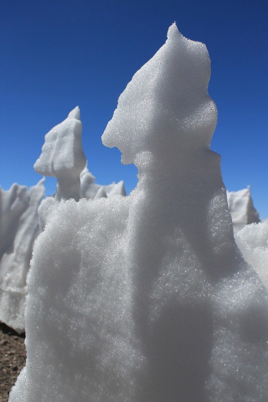

Excellent! Looks like I’m going to need me some time in Bolivia…
Those Martian snow formations are super cool.
Yep, the penitentes sure are good, especially when you can drink them – they’re usually the only water source round these parts. Didn’t want to drink them on Sairecabur though cos of all the sulphur that was around…
Though we were looking into Bolivia a lot, this whole loop was in Chile, so didn’t have to faf around with any Chilean border authorities!
Love that ninja penitente shot! And thanks for a great ride.
Hi,
did you take the old mine road that starts at the ruins of the – what’s it called? – Saciel mine or another track? Three years ago I went up the old mine road (by car) and climbed Sairecabur but saw nothing of the telescope I had read about. No idea where it is!
Jan
We left San Pedro on the road to Puritama and the Tatio geysers, then turned off after 40/50?km. Then took the main route that the jeeps take people up to climb the mountain – it climbs up from the W/NW. The jeeps can only get to about 5400m, but the road continues into a bowl, where the telescope is. If you were walking straight from where the jeep leaves you it’d be on your right, to the SE. The small telescope is sat on top of one of two containers – like the ones you get on cargo ships. The road goes to the containers, then continues up to a tiny metal refugio – there’s an old sulphur mine there, though I’m not sure what it’s called. We decended the (never used) road on the south of the mountain that goes to the col between Sairecabur and Licancabur, then heads E, right for San Pedro.
Hope this clears it up!
cheers
Neil
Pingback: a thousand turns : a day (or three) out with the pikes
You are part of my cherished dreams.
I thank you for bringing it on my desk in the office, that world that you visit for me too.
Andrea
Genova – Italia
Thanks Andrea!
Hi, thanks for this post – it looks incredible. I am looking into doing something similar later this year. Can I ask – did you collect water anywhere en route, or did you carry enough between you for the whole trip? Seems like that would be a lot to carry…
Thanks for the comment – yeah, it was a fun little trip! We did take all water with us from San Pedro (12 litres each, which wasn’t really enough – could’ve done with a few more). There was snow up top, but we’d been warned about it being contaminated with sulphur from the old mine up there – not sure whether this was completely valid, but we decided to play safe.
hope this helps
Neil
Wow, just stumbled across this. I slept with my bike in those incan runins before climbing Llicancanbur. Had no idea there would be a route over the neighboring peak! well done. Awesome stuff!
Hi Eric – glad to hear you’ve made use of those ruins too! Yeah, it’s pretty mad that they built roads up Sairecabur – good fun though. It would be a lot more fun on a fatbike – you’d easily be able to ride through the crater (once you’d cleared a few penitentes) and the descent on the south side would be great too – we were sliding all over the place on our 2″ tyres!
Hope all’s well in Alaska!
Neil
Hi Pikes,
Update on the road to Sairecabur. Heavy rain in early 2017 severely damaged the steep section of the main road leading up to Taito geysers & the Sairecabur road.
The road is closed to vehicular traffic. Heavy snow in early winter also closed the road from the Taito Geysers end. The San Pedro end of the road was still passable by bike but often very rough. The lack of traffic & rain has allowed a buildup of sand & gravel making the road to the Sairecabur turnoff heavy going.
We attempted Sairecabur in July 2017 but could not get the bikes past 4600M due to snow on the road. Unfortunately this altitude was too low to allow a summit bid, being 13km from the base of the climb & 1400M elevation to gain. Still it was a great trip & we turned around at 5400M & plugged steps back down to the camp. Fantastic scenery & with the road closed at either end we saw no one for 5 days. There are now signs & gates in the Sairecabur track proclaiming the area as being Nativo Huerto, no unauthorised access. A number of people we talked to about these, said that they just ignored them.