East of Huaraz, deep valleys slice through the Blanca. On maps they resemble fingers on a hand. Most are little visited, being far from tourist itineraries and even further from your average Huaracino‘s idea of a good day out. For a few weeks in July when the Tour was in progress and we didn’t want to stray too far or long from our cable TV, we dipped in and out of these quiet quebradas.
Llaca, Cojup, Quilcayhuanca. Churup, Shallap, Rajucolta. Exotic Quechua names that hardly roll off the tongue, but which treated us to dazzling lakes, pre-Inca ruins, views of snow-splashed peaks and rare sightings of condors.
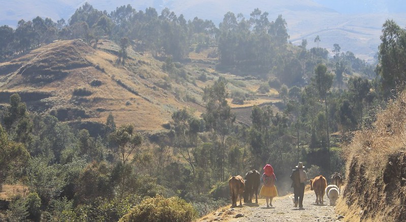
There are no villages in Parque Nacional Huascaran, which is why it’s always a delight wandering the lower trails before entering the Park. A chance to observe rural Peruvian life and natter with friendly locals.
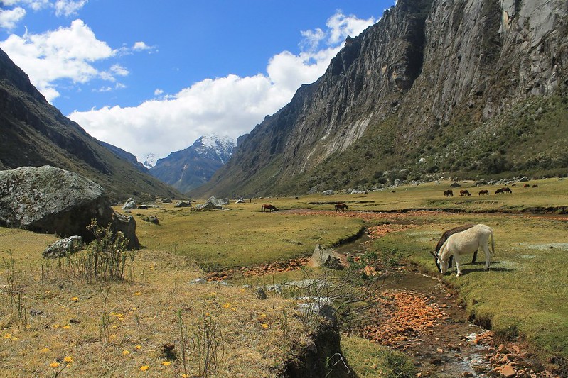
Like most of the valleys on the Callejon de Huaylas (western) side of the Cordillera Blanca, Quilcayhuanca boasts steep sided walls, lush green pampas and a healthy resident population of quadrupeds.
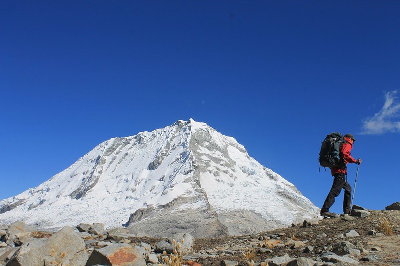
We wandered up Quebrada Quilcayhuanca in warm sunshine, but higher up this turned into an afternoon of losing the trail in hail and snow. After a damp camp we woke to clear skies and after a few hours on rocky terrain reached Paso Huapi and its excellent Ranrapalca views. At nearly 5,100m this is the highest regularly-trekked pass in the Blanca.
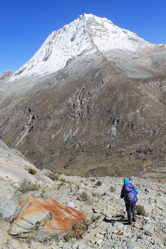
Descending from Paso Huapi, straight at Ranrapalca. This 6,160m peak dominates the eastern skyline from Huaraz. Close up, here in Quebrada Cojup, it’s even more impressive.
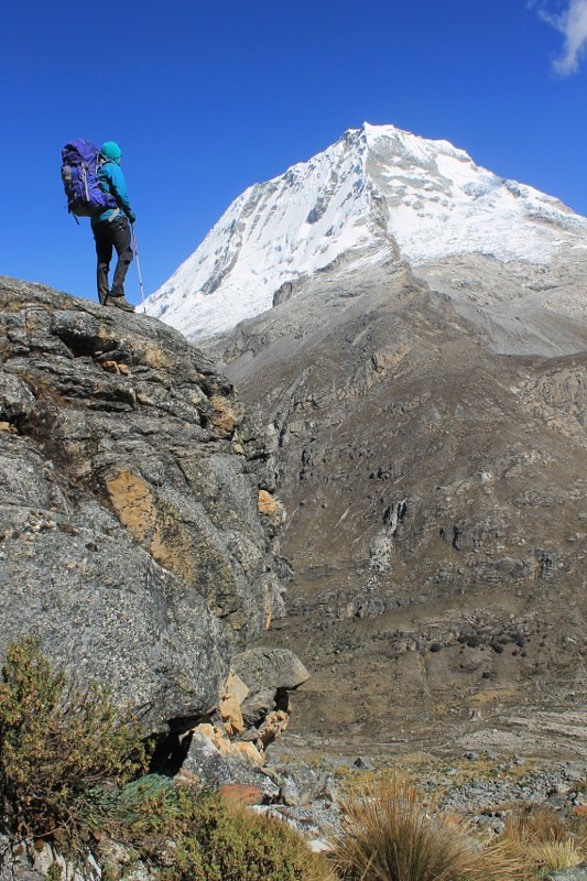
Ranrapalca is one of three 6,000ers to admire in Quebrada Cojup. Pulcaraju (6,275m) and Pucaranra (6,160m) lie to the east, and were blanketed in cloud when we visited.
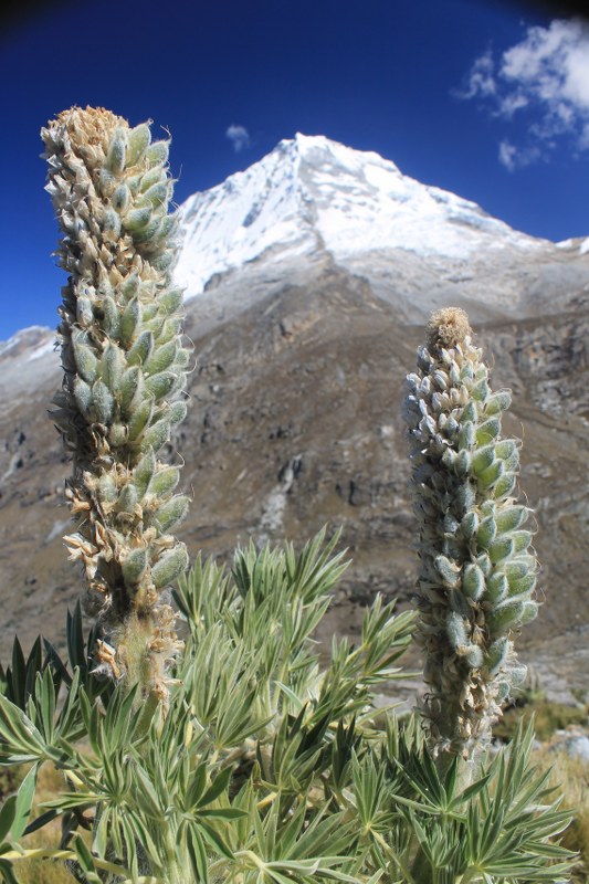
This being July, most of the lupins had already flowered for the season. Back in May all valleys in the area were awash with purple bushes.
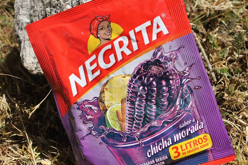
Chicha Morada: drink of the gods. Best served freshly made from the purple maize; but the packet version will do.
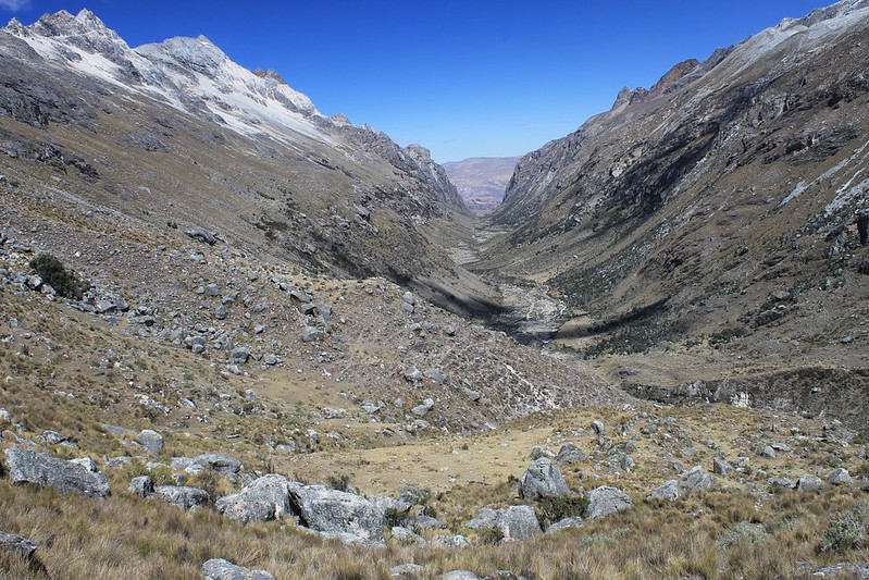
Quebrada Cojup. Up here seems a world away from Huaraz which languishes in the valley at the far end of the shot. But from the quebrada entrance it’s less than a 2 hour walk to the village of Marian, from where combis will race you downhill to the Ancash capital.
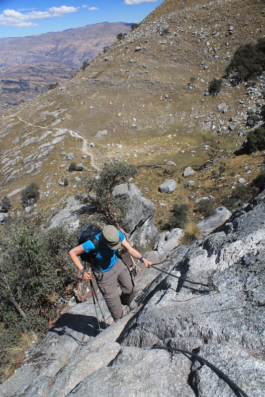
A steep section on the way to Laguna Churup. This is by far the most popular acclimatization hike for newly arrived trekkers in Huaraz. The steep terrain however means that it’s not really the best option – neighbouring Quebrada Shallap is a better choice.
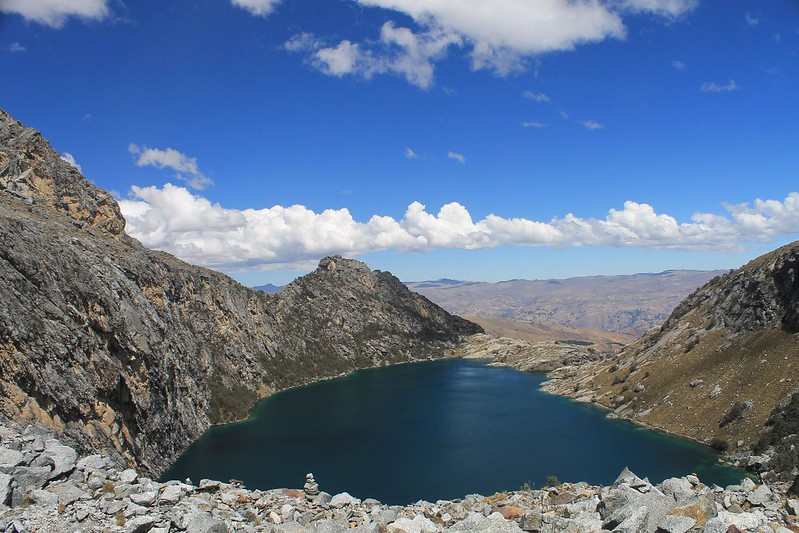
Churup is an attractive lake though – here seen from the moraine encasing the smaller and slightly higher Laguna Churupita.
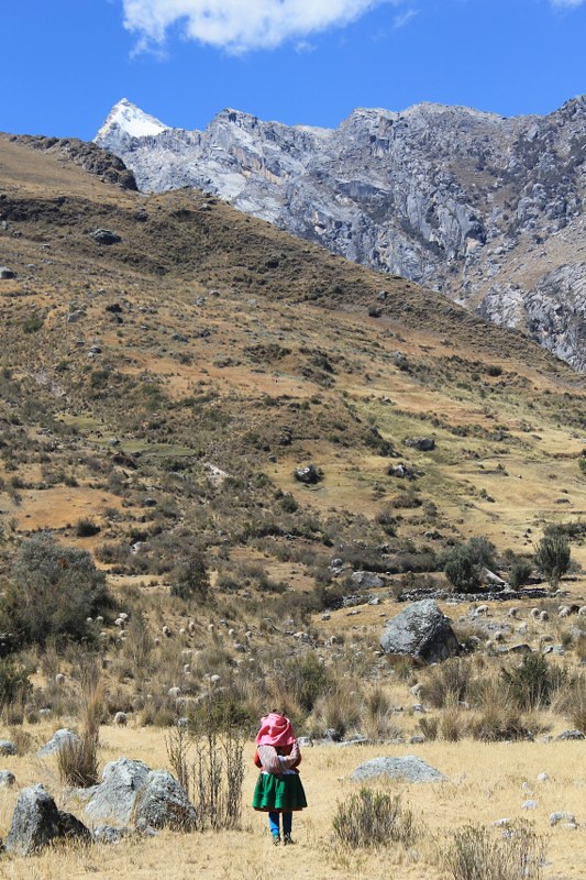
Following the crowds into Quebrada Shallap. We were held up by her sheep for a while, but eventually made it to the valley’s gateway.
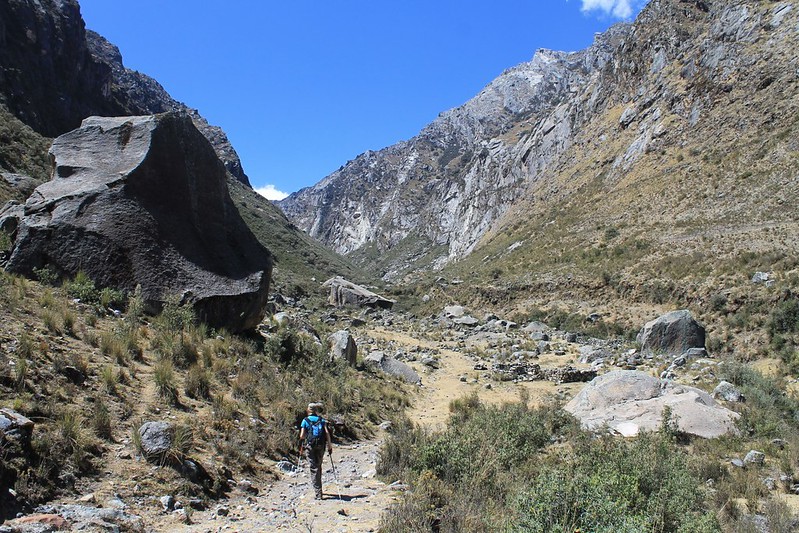
Enormous boulders in Quebrada Shallap. The valley floor is strewn with these giant beasts. We later found out that Shallap is Quechua for ‘place of rocks’. Bloody big ones too!
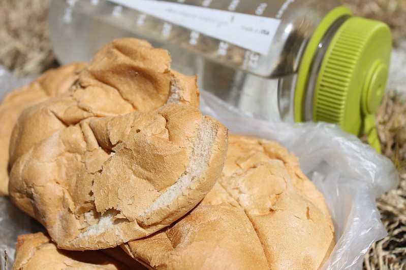
In appearance a spartan trekking lunch, but these rolls were delicious – filled with tasty Chiquian honey and cheese. All washed down with some glacial water – a steal at 4 Soles a litre.
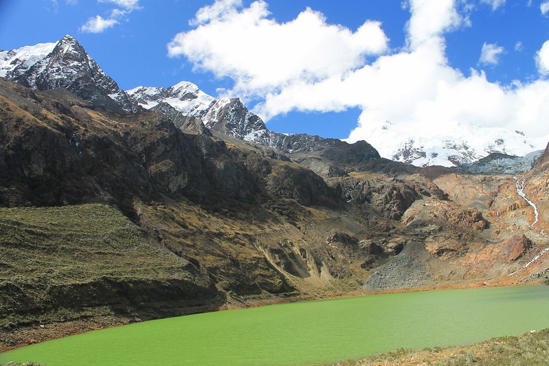
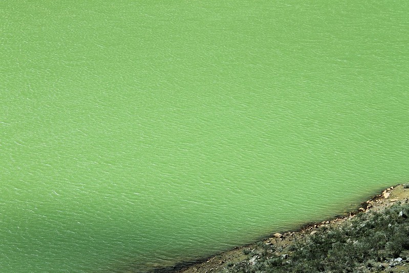
The reward for a 15km walk up from Llupa: pea green Laguna Shallap and occasional glimpses of Nevado San Juan (5,850m).
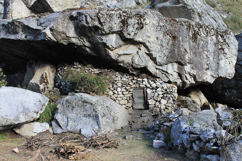
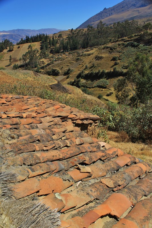
A sturdy roof we happened upon in Quebrada Shallap. Made a nice change from the usual corrugated iron on show in Peru.
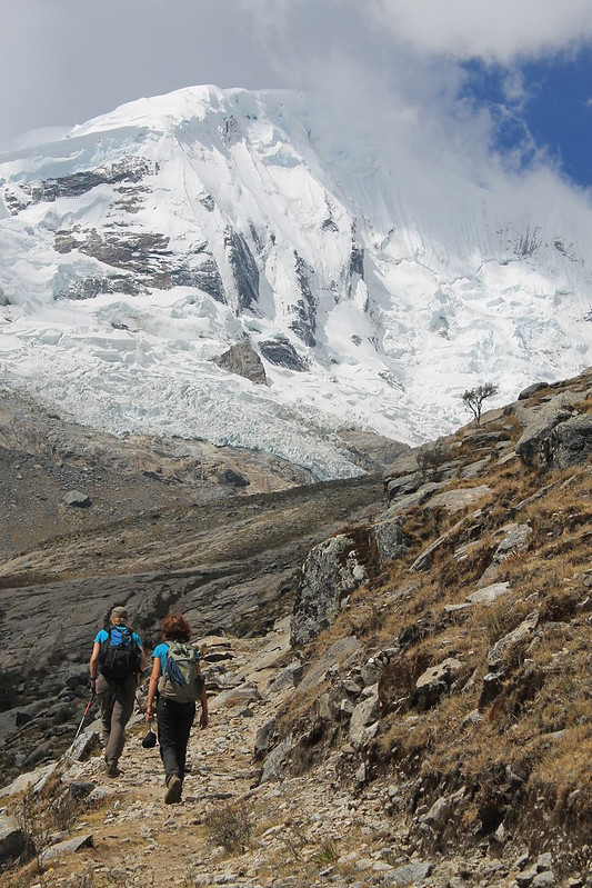
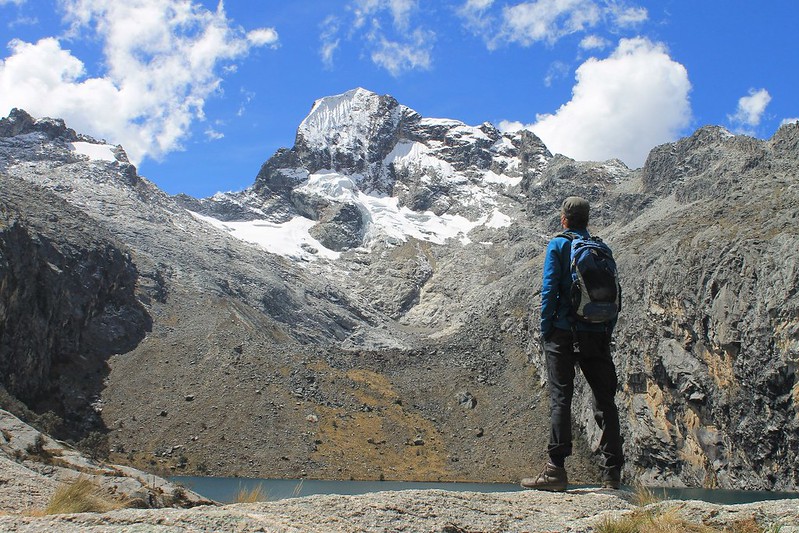
Fast forward to August, and Anna is in town. A fellow cycle tourista who’s been on the road for a few years, we hiked up to Laguna Lejiacocha, nestled in a bowl overlooked by Nevado Copa.
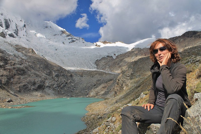
Hanging out with Anna at Laguna Lejiacocha after the 1700m climb up from Vicos. As Nevado Copa is one of the easiest and most regularly climbed 6000ers in the range, we met a number of mountaineers on the trail – they were all camping near the lake. After briefly refuelling with trail mix by the lake, we turned round and descended to civilization.
Fantastically otherworldly! Are you using Google Maps for route planning or have your managed to find some more detailed local maps?
For trekking we’re using the Austrian Alpine Club maps (Alpenvereinskarte) – there are 2 that cover the Cord Blanca, and 1 for the Huayhuash. For cycling we’ve been using Google Earth/Maps to find smaller routes, though much of this area doesn’t have very good satellite pictures. By the time we leave in a month we’ll have cycled most of the roads in the area though – we’ll be able to tell you where they all are! And if you are here in April we should meet up – we’re planning on being in Argentina mid-Oct to mid-Feb, then coming back here for 2 or 3 months. Can’t get enough of the mountains round these parts!