There’s little doubt in our minds that the Huayhuash Circuit is Peru’s premier trek. Among the best on the continent, it’s right up there with anything this world has to offer. Rarely on our mountain wanderings have we encountered such magnificent scenery. Bejewelled alpine lakes, jagged peaks, tortured ice falls, gargantuan rock faces, fascinating contorted strata. And Inca or pre-Inca trails from which to enjoy it all.
From the day you depart Huaraz and spy your first views of the range from a bus window at Paso de Mojon, the splendour rarely abates; a constant companion for the 6, 8, 10 or 15 days you choose to linger over the loop.
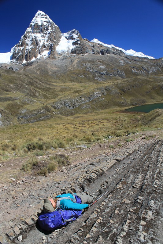
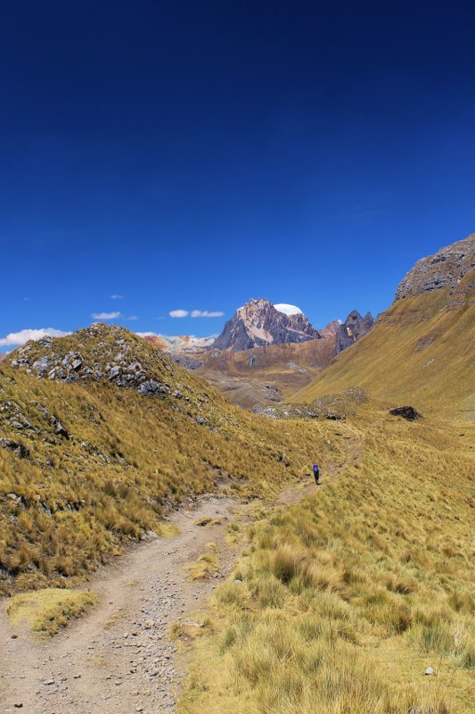
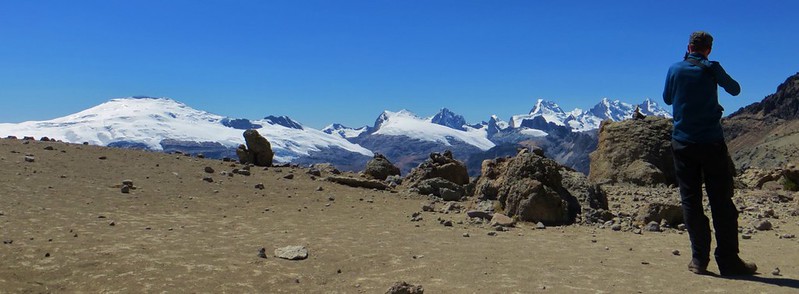
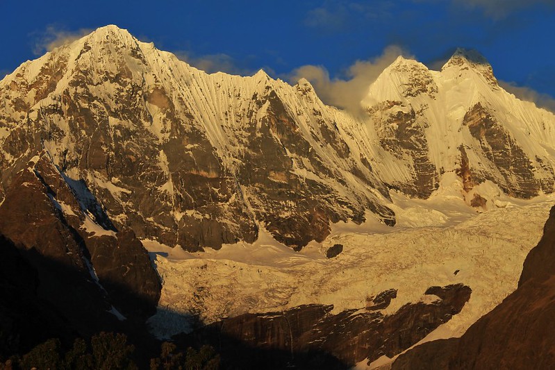
The area does have some issues (thankfully, solvable ones), about which more in our next, angry, post. But for now here are some pictures which fail to capture the true splendour of the place, but which hopefully give a flavour as to why we think this is the trek mountain lovers should be flocking to Peru for.
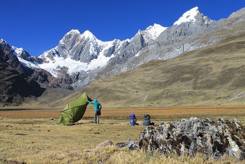
We leave our tent out un-pegged to dry, and a sudden gust of wind begins lifting it off to Laguna Mitucocha. Fortunately Haz shows the presence of mind to pluck it out of the air before it gets a soaking.
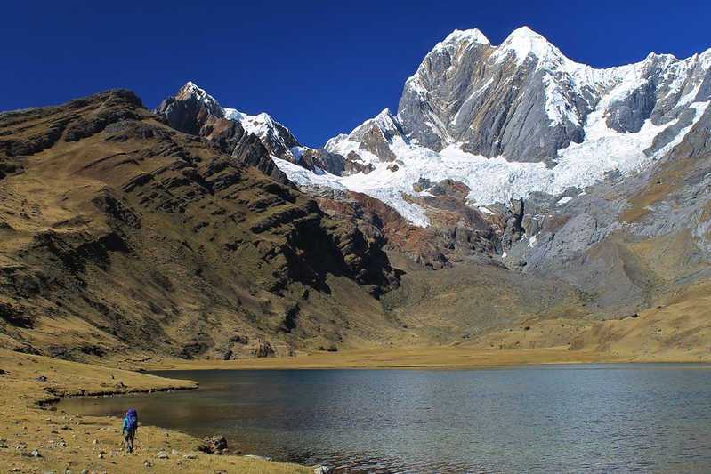
Skirting round Laguna Mitucocha on an alternative route to Carhuacocha. There wasn’t a path much of the way, but the views of Jirishanca were excellent.
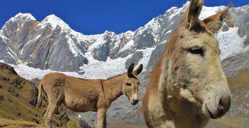
The only signs of life we saw between Mitucocha and Carhuacocha. Luckily the big groups don’t go this way, so the trail is clean and quiet.
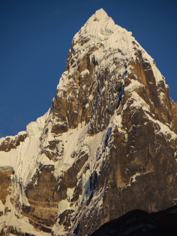
After a reasonably taxing day of navigation we arrive at Carhuacocha. The morning is initially clear, so while wolfing down our porridge we can admire 6090m Jirishanca. Check out the huge icicles hanging off the steep SE face.
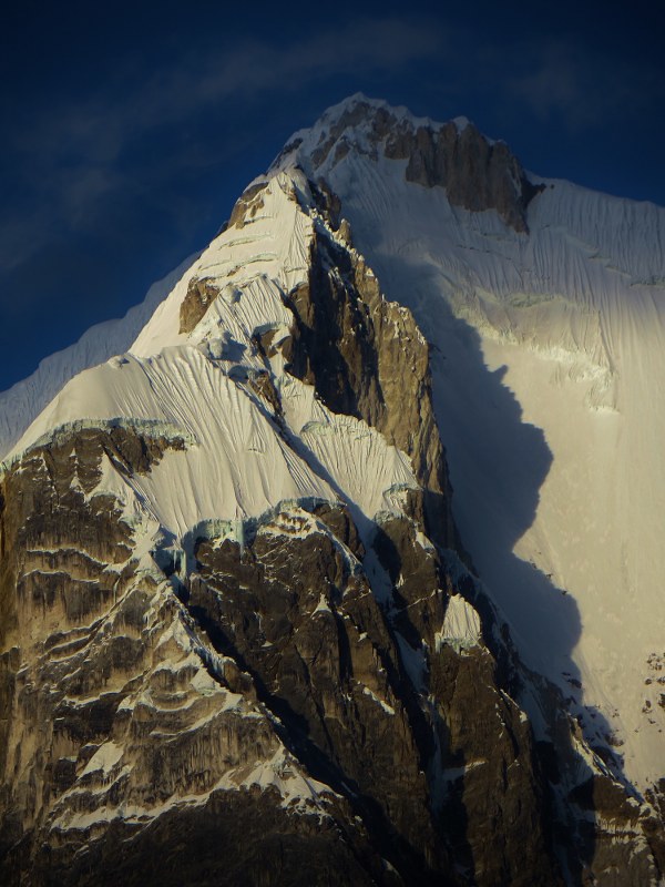
Next door is Yerupaja – Peru’s 3rd highest mountain, and the 13th highest in the Andes. It’s by far the most difficult of the high Andean peaks to climb – very few people reach its true summit these days, due to the difficulty and danger of all routes.
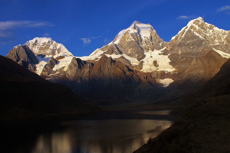
Still snapping away in the early morning at Carhuacocha. L-R: Siula Grande (of Joe Simpson and ‘Touching the Void’ fame), Yerupaja, Yerupaja Chico.
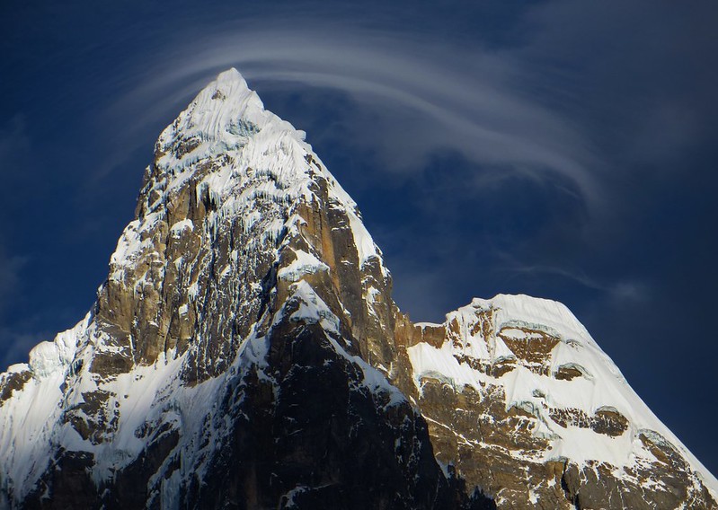
Morning cloud on Jirishanca. For an hour at camp we were treated to weird and rapidly changing cloud formations on the peaks. Then a blanket of cloud descended and we saw little for the rest of the day.
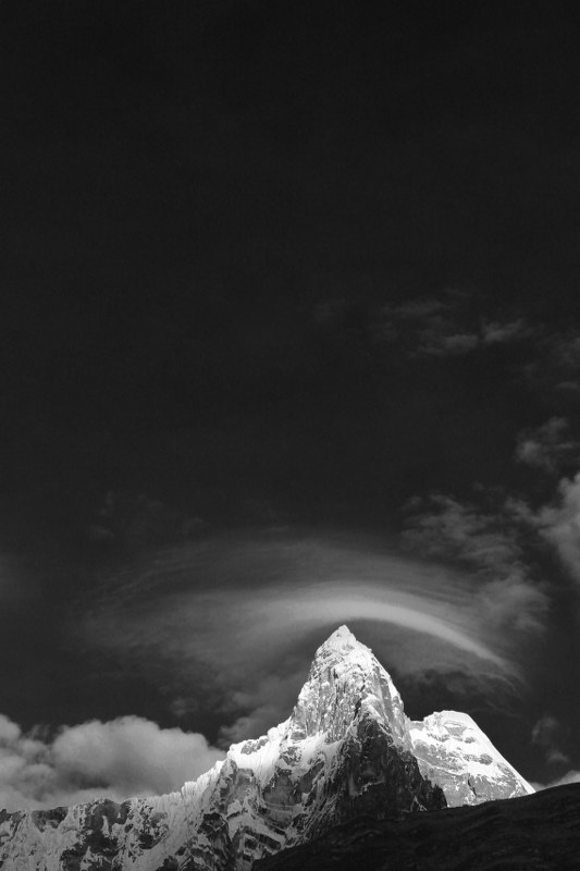
Jirishanca proudly sporting a cloud hat. The local hats in Ancash are fantastic – our luggage on the plane home will be full of them. If they don’t fit in our bags, we’ll have to wear towers of them on our heads, like some of the better-off campesinas do.
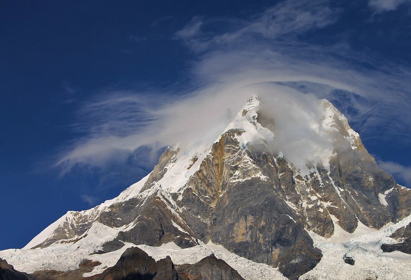
Yerupaja on the increasingly unsettled morning. Wouldn’t have wanted to have been up on the peak – the wind was gusting hard.
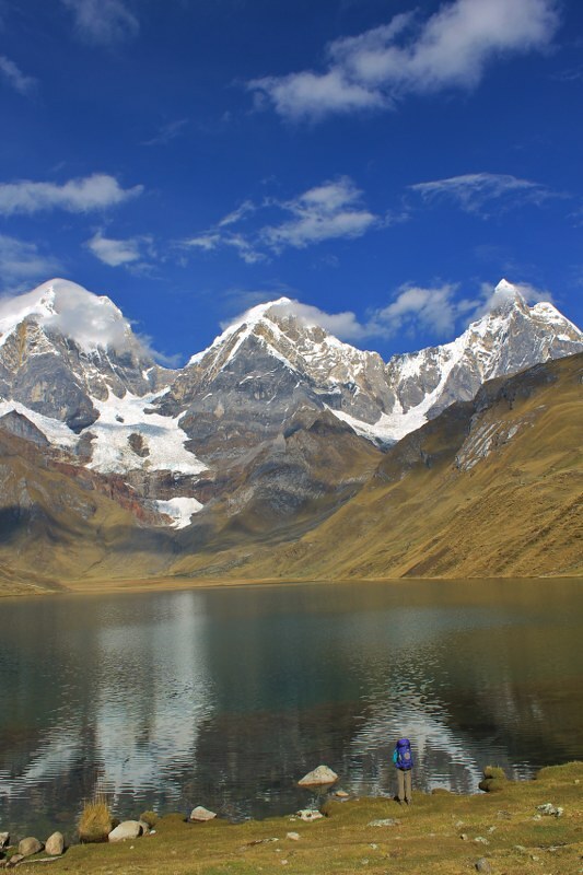
After a leisurely breakfast (look at porridge, look at peaks) we finally leave our idyllic campsite and begin walking round Carhuacocha.
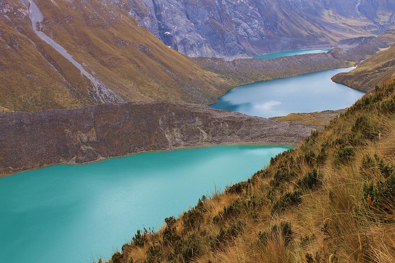
It’s not long before the weather deteriorates and the peaks disappear from view. Still, we get some of the classic Huayhuash views at the ‘3 lakes’ mirador.
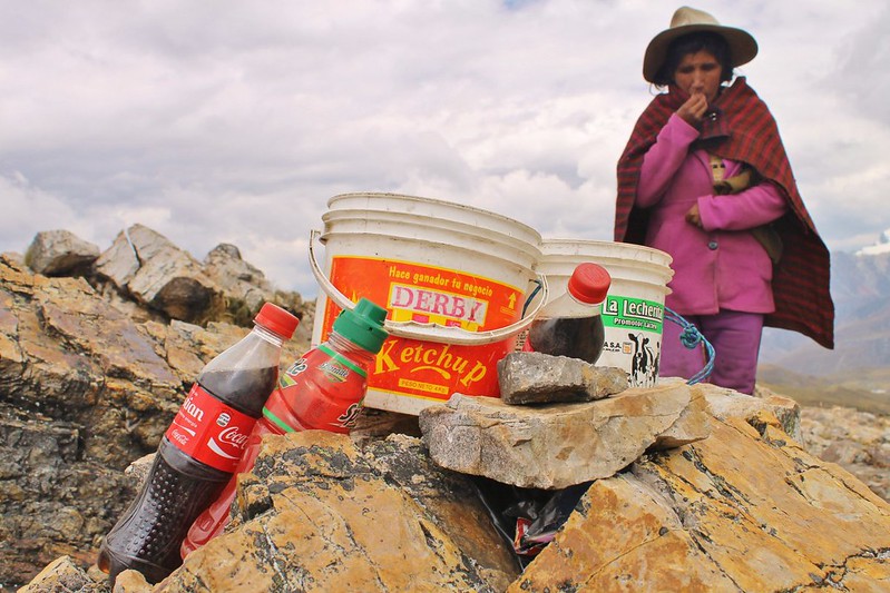
The Highest Bar in Peru? Having only seen a couple of people on the first 3 days of our trek, imagine our surprise on reaching 4830m Siula Punta and finding Maria up there with some buckets of cold drinks. Sadly the beer had run out the day before, so we had to make do with Coke.
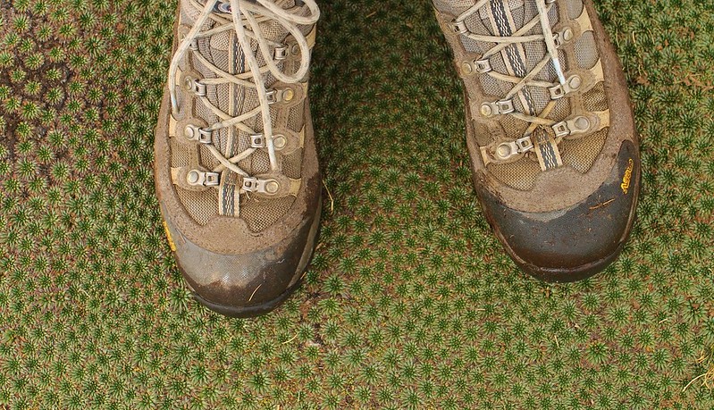
Haz’s boots. New 4 months ago at the start of this trip, but the inside ankle cuffs have already worn out and had to be repaired by a Huaraz cobbler.
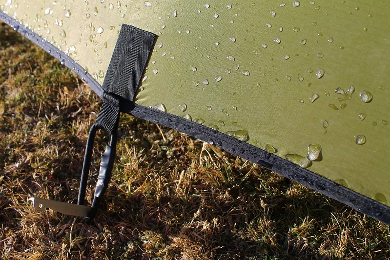
But it’s reasonably chilly. Some ice clings to our Dragonfly in the just-below-freezing temperatures.

We leave Huayhuash with its plumbed-in toilets and very clean camp and begin walking to Portachuelo de Huayhuash. Though this is heading away from the big mountains, the day is still jam-packed with views of peaks and lakes. This one’s Nevado Trapecio. From the east it’s a triangle; from the west the trapezium the name suggests.
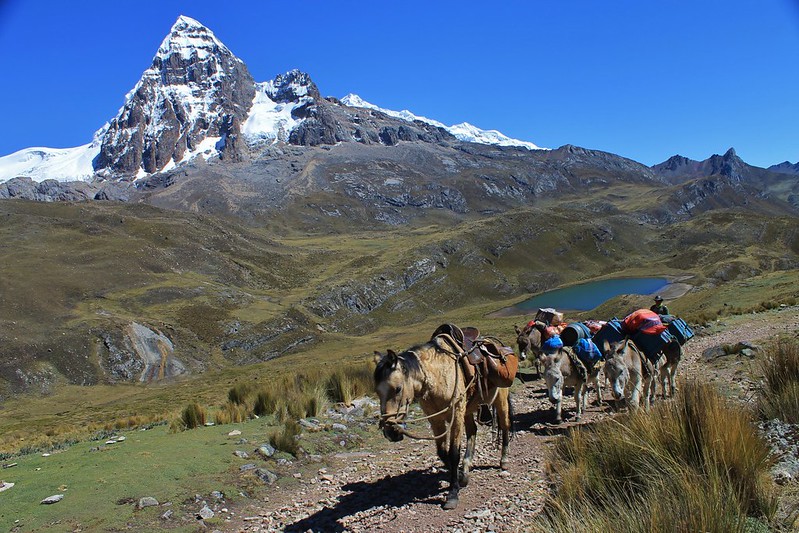
A donkey train climbing to Portachuelo de Huayhuash. These guys are from Los Amigos de Huayhuash, a small family agency based in Chiquian. From what we saw of them they were excellent. Unlike many of the big, cheap agencies that are based in Huaraz, of which there are a number of despicable examples.
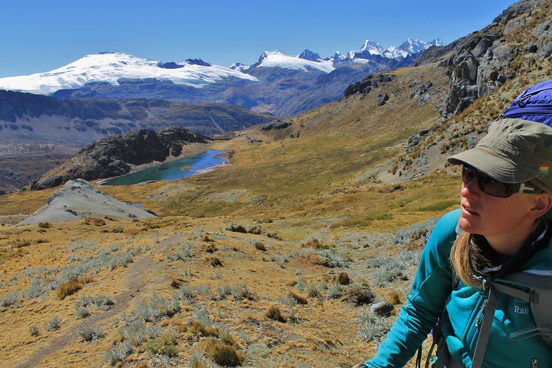
Feeling refreshed after an afternoon soaking in the termales, we climb to Punta Cuyoc, the highest pass on the traditional circuit. The Cordillera Raura in the background.
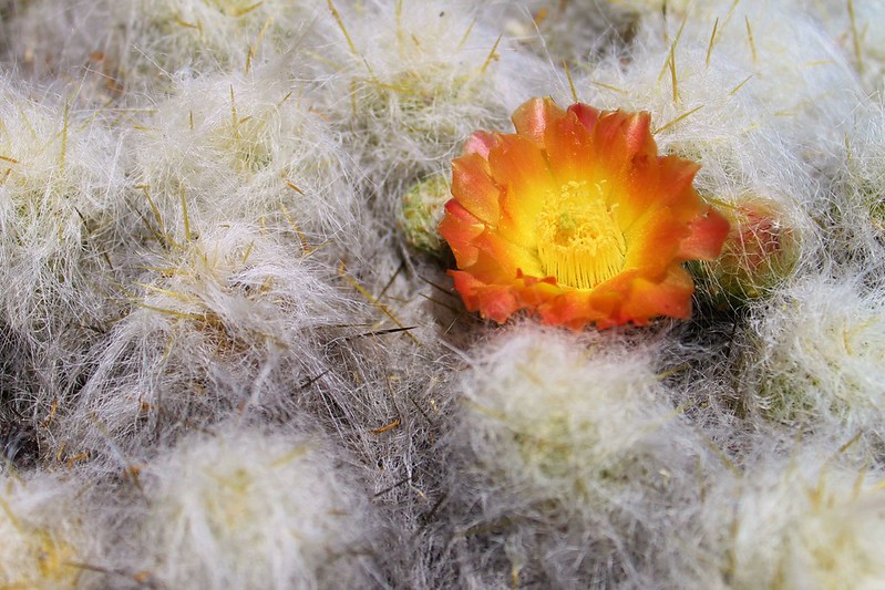
The Huayhuash had more wildlife than we’ve seen in the Cordillera Blanca. Plenty of condors, some vicuna and loads of vizcachas. Too late in the season for most flowers, apart from these cactus flowers, which were everywhere.
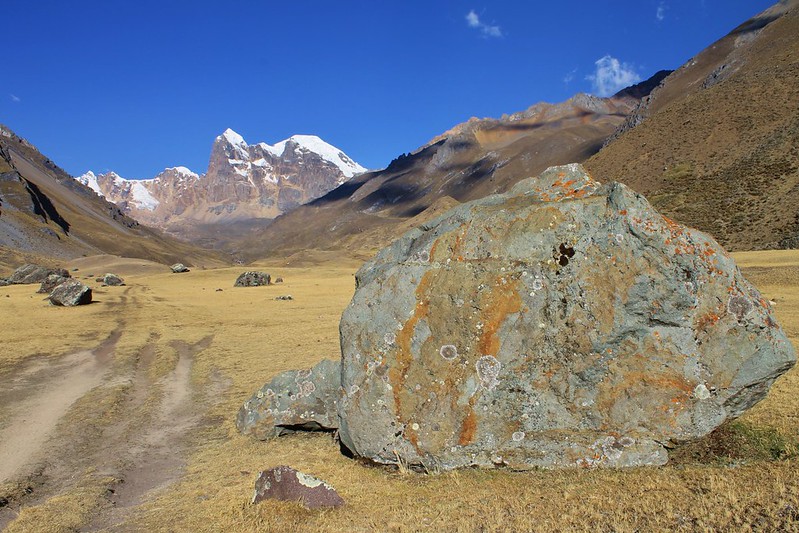
A rock we liked in Quebrada Huanacpatay. As the day from Viconga to Cuyoc camp was so short we spent the afternoon on a 20km sidetrip down this tranquil valley.
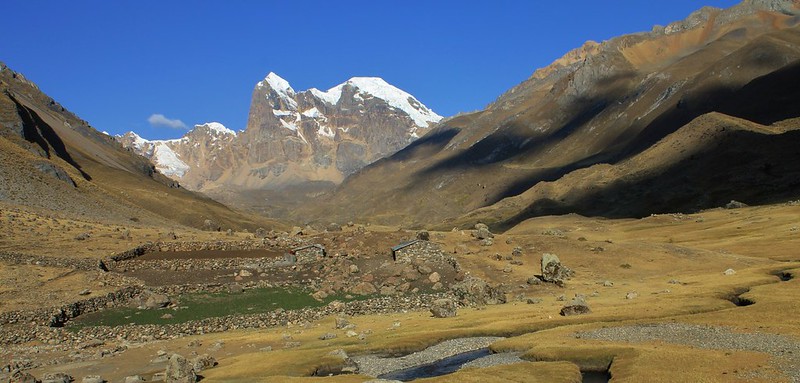
Choza in Quebrada Huanacpatay. An elderly couple were living in this hut – not a bad spot, with Nevado Cuyoc’s vertical north face towering over the head of the valley.
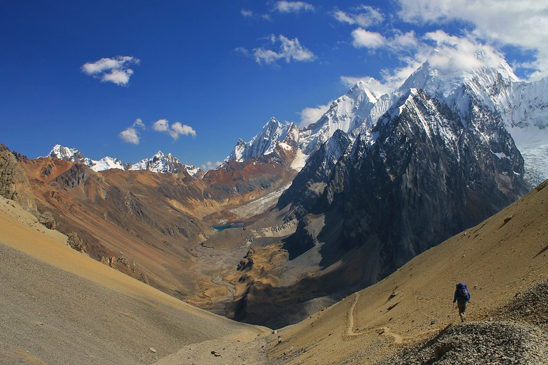
Descending from Paso Jurau, at 5060m the highest pass on our trek. It was windy up there, so we didn’t stay long. In a few hours we were in Quebrada Sarapococha, location of Joe Simpson’s basecamp and almost-unbelievable escape from Siula Grande.
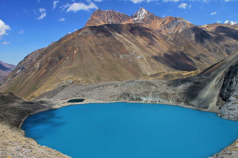
Juraucocha – the most dazzling of the Huayhuash’s lakes. Flanked on one side by a milky-white lakelet, and on the other by a smaller bottle green one.
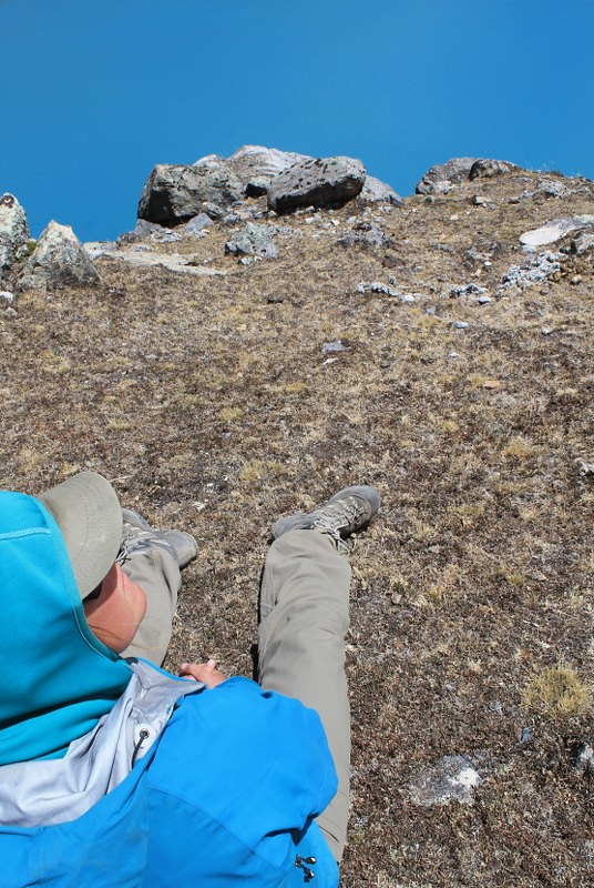
Haz sporting her new camouflage jacket. Only effective in certain areas of the Huayhuash and Blanca.
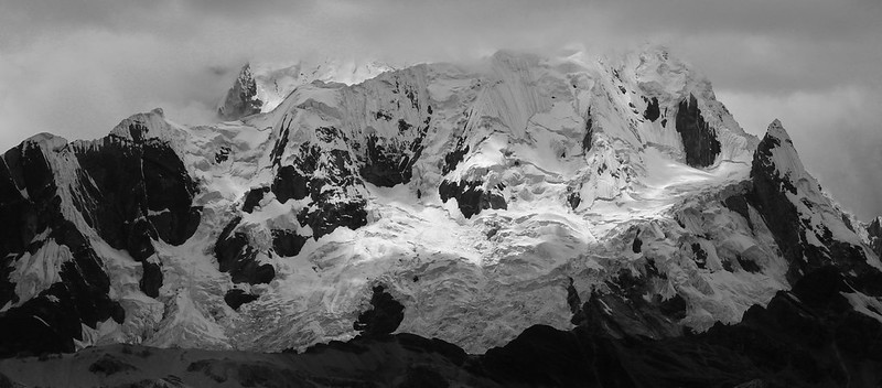
Two days later and we cross Yaucha Punta. From the pass the views are good, but head north, off the main trail, and there is an incredible ridge-top path to a mirador on Cerro Huacrish, with views of all the big peaks. This one’s Nevado Rasac (Quechua for ‘toad’, apparently).
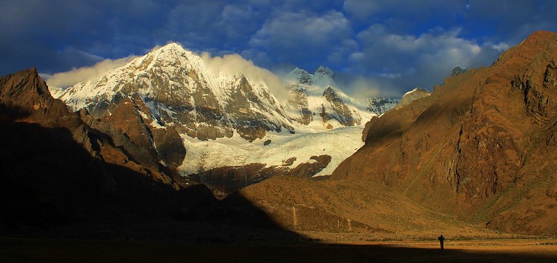
Sunset on Nevado Rondoy. We arrived in camp in overcast and drizzly conditions, but thought we’d go for an afternoon stroll anyway. The weather cleared and we were treated to fantastic late afternoon sun on Rondoy, Jirishanca and Yerupaja.

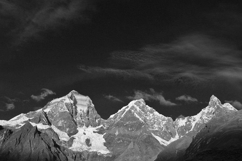
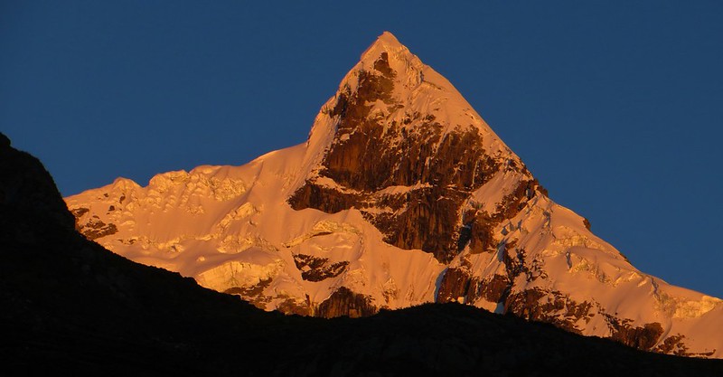
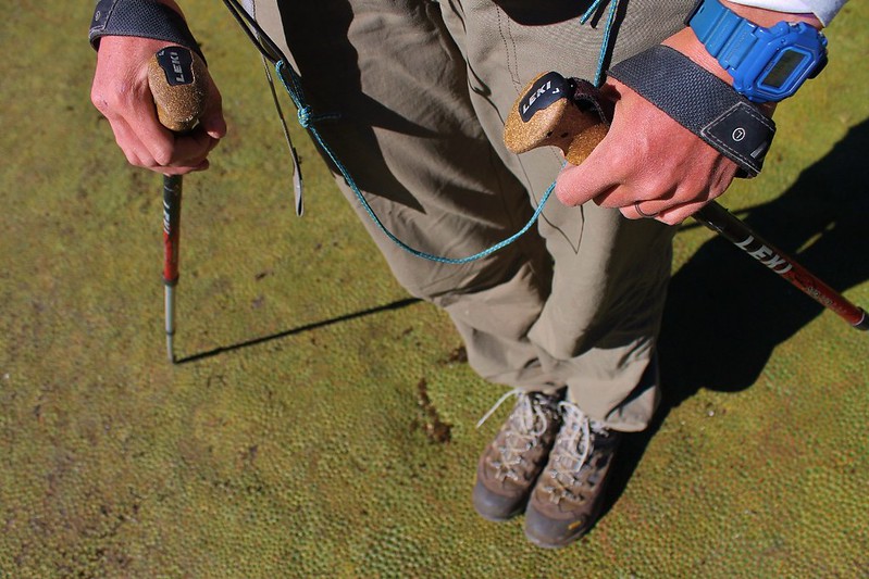
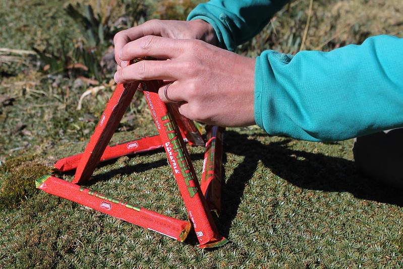


Fantastic!
That descent from Paso Jurau looks particularly peachy…
For cycling?! If you fancy being on a narrow scree path for a few kms with steep slopes off to your left, then maybe… The Athertons would probably get down it. Doubt I would!
AWESOME!!!
Cheers Brian! It’s a fantastic place!
Wow, impressive, great job! Can’t wait to see it. Too bad your book isn’t available yet. It would definitely help us as all the routes and names are a bit overwhelming right now.
Cheers guys – hope you get good weather for it when you head there in October. Yep, the names are confusing round these parts. 50% begin with ‘Hua’, another 30% with ‘C’, and 10% with ‘Y’. Which doesn’t leave much for the other letters. We’ve been to about 5 Yuraccochas now and a few more Huallancas and Yanacochas…
Stunning photos! Such a beautiful place.
Amazing photos! Now I regret that I didn’t do that trek when I was there in 2010. Luckily, mountains rarely move 🙂
Cheers Carl, and Happy New Year!
It’s pretty much the best trek we’ve ever done – would highly recommend it! We’ll be back there next April, if you fancy joining us?
take care
Neil
Pingback: Peru’s Cordillera Huayhuash: A Hikers Heaven | Velo Freedom - Cycling South
Hello Pikes!
This is absolutely amazing. I come here to this page once every few weeks and just dream. I was just curious, what do you think is the best time of year to do this circuit? Your photos show brilliant sunshine and good weather. I’m thinking of doing this trek in a year or two when we go visit relatives in Lima.
Kind regards and happy trails!
Anna
Hi Anna,
In theory July and August are the best times for the circuit. May to September is meant to be the dry season – these photos are from September 2013. It’s a beautiful trek – enjoy!