Fatbiking to Munros

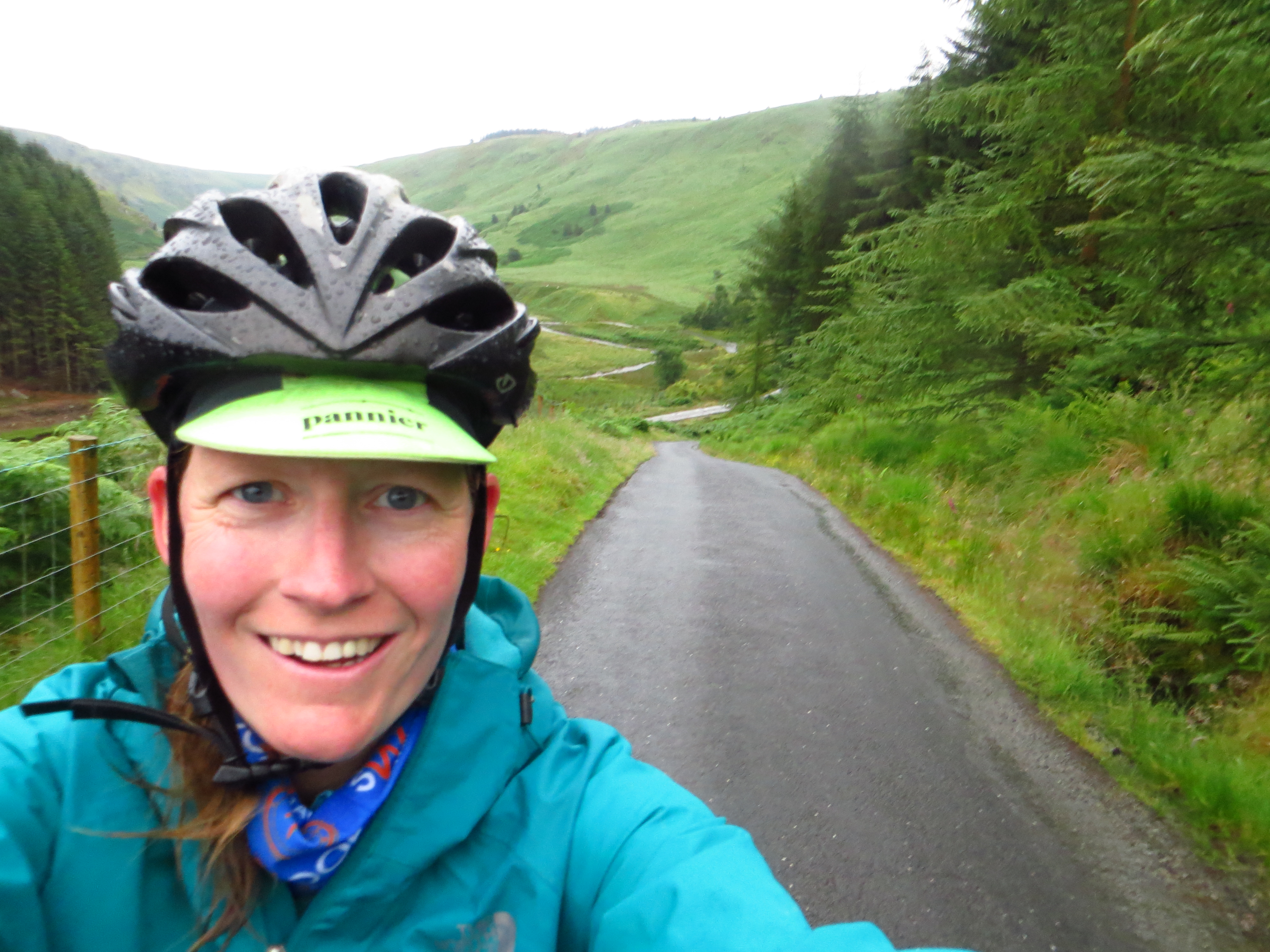
Munro: a Scottish hill over 3000ft (915m). We’d been climbing them off and on for the past decade and, having acquired a habit of cycling to peaks in the Andes, thought we’d give it a whirl in Scotland on newly acquired Genesis Caribou fatbikes. Fully expecting the weather to be lousy we foresaw cutting the trip short when it became too miserable, but after the wettest summer in years we got lucky – just the 1 hour of drizzle in 12 days. Cue some fantastic off-road biking and hiking in some wild, unspoilt landscapes.

Assembling the bikes at Lairg trainstation

Assembling bikes by torchlight at Lairg station.
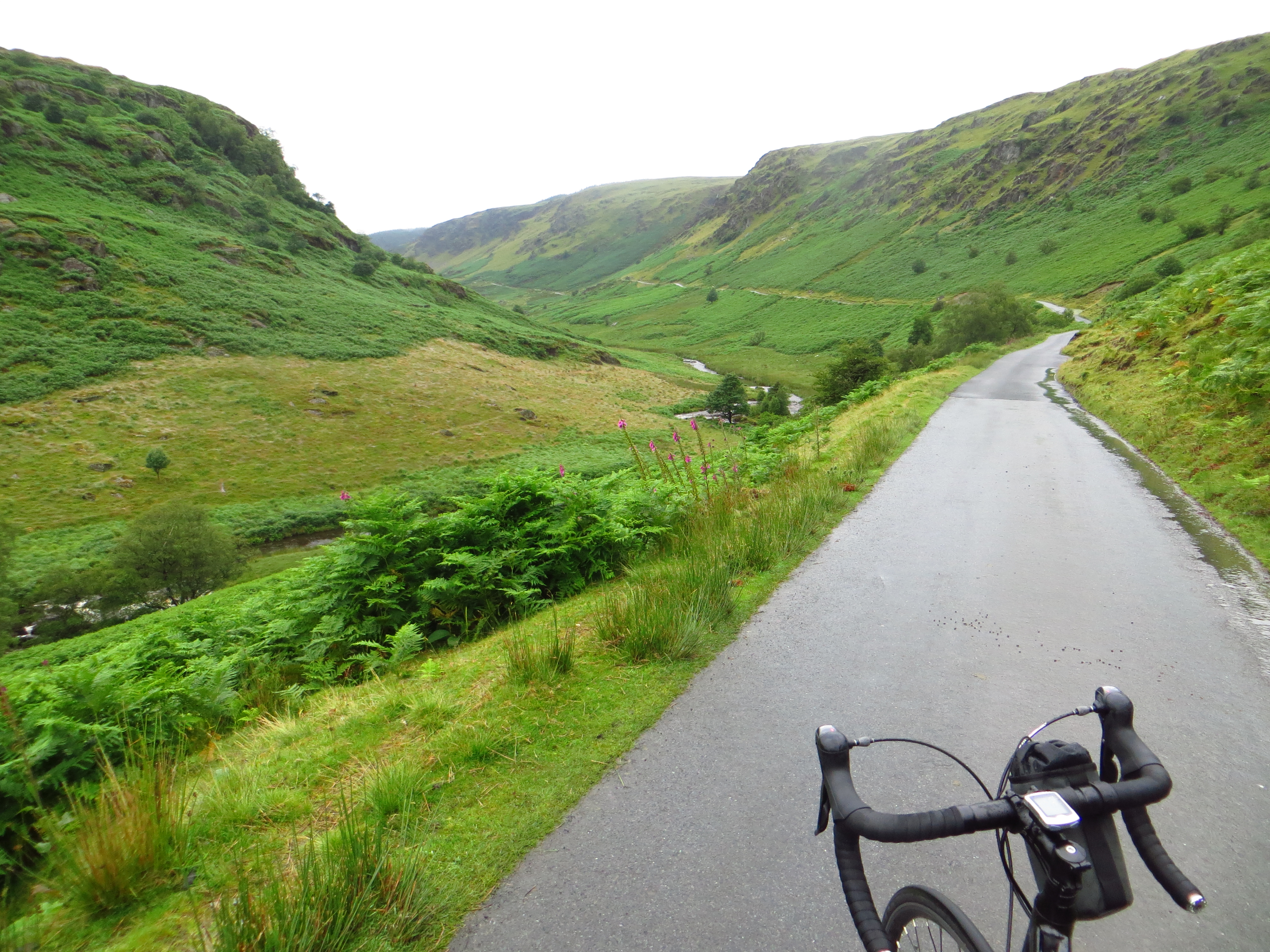
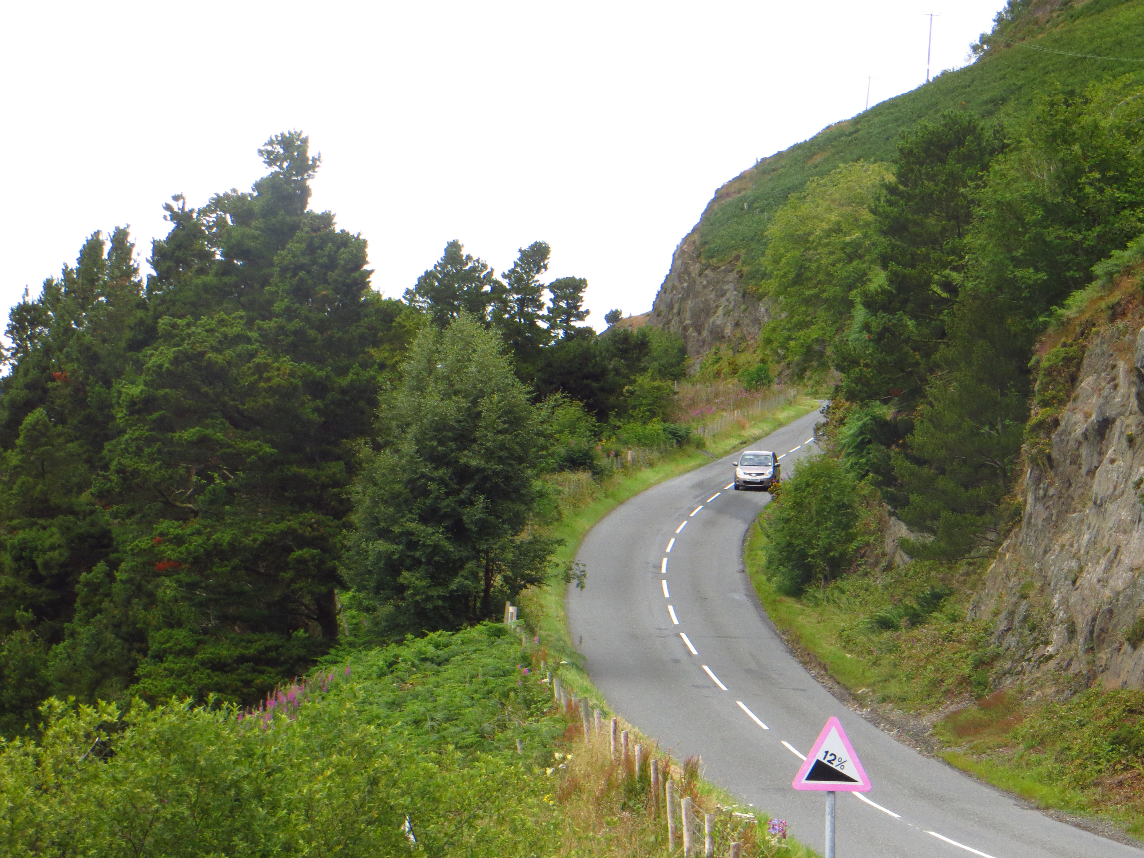
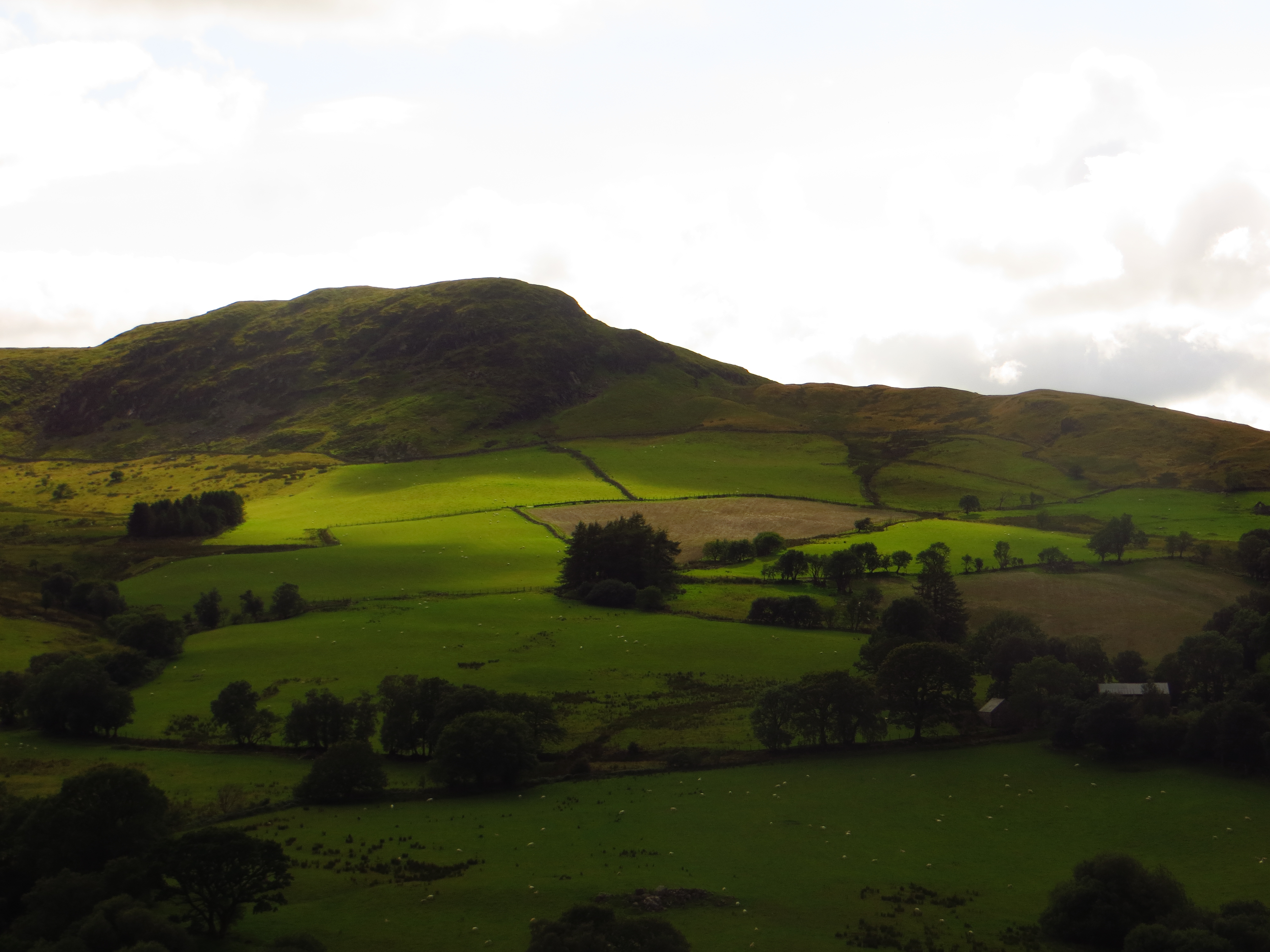
A Highlands A-road

Highlands A-road.

En route to Ben Hope

En route to Ben Hope, the second of the trip’s eleven Munros.

Gazing at Ben Hope

Sizing up Ben Hope, and working out where to stash the fatties as we trotted up the hill on foot.

Ruins near Ben Hope

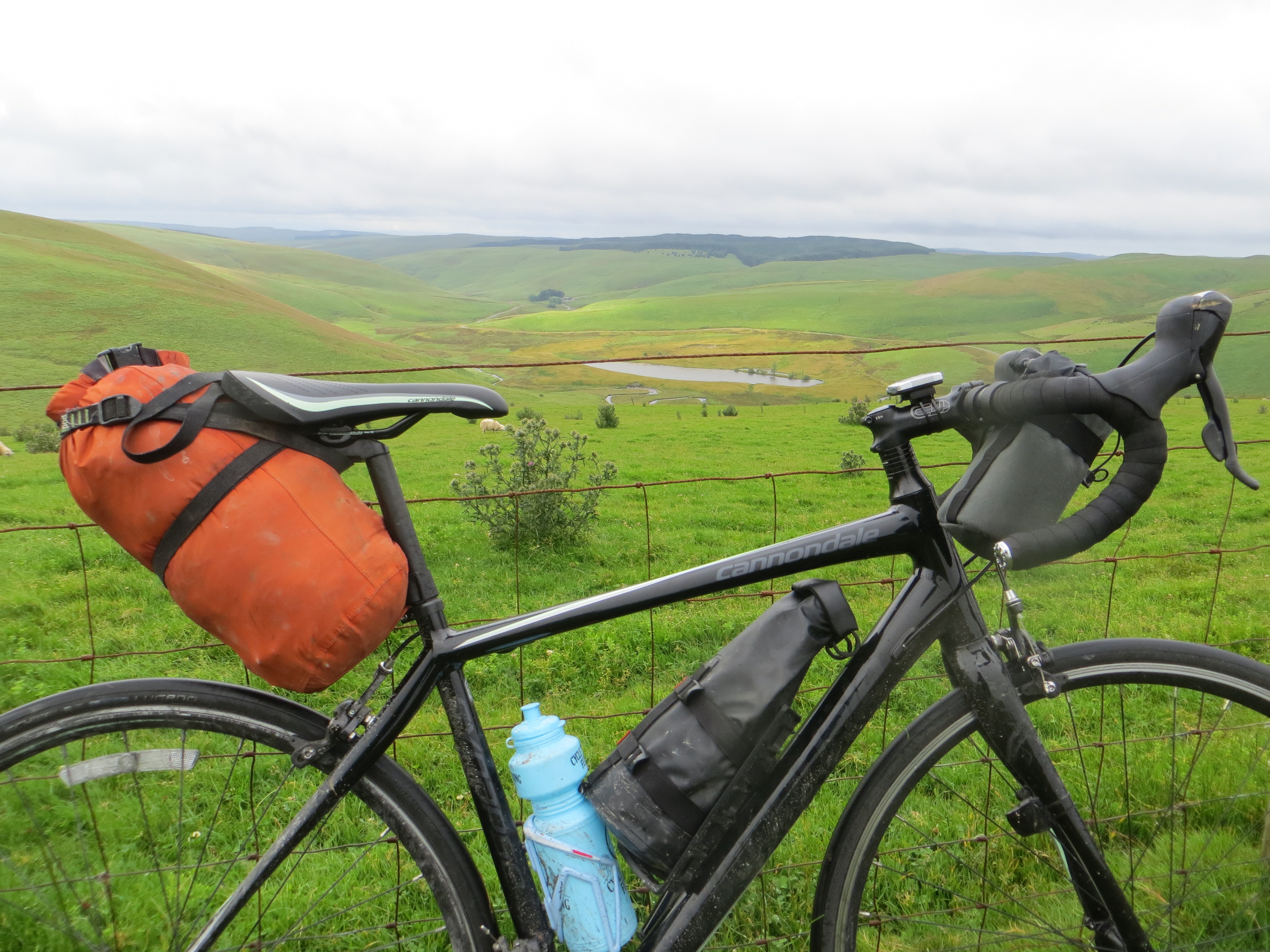
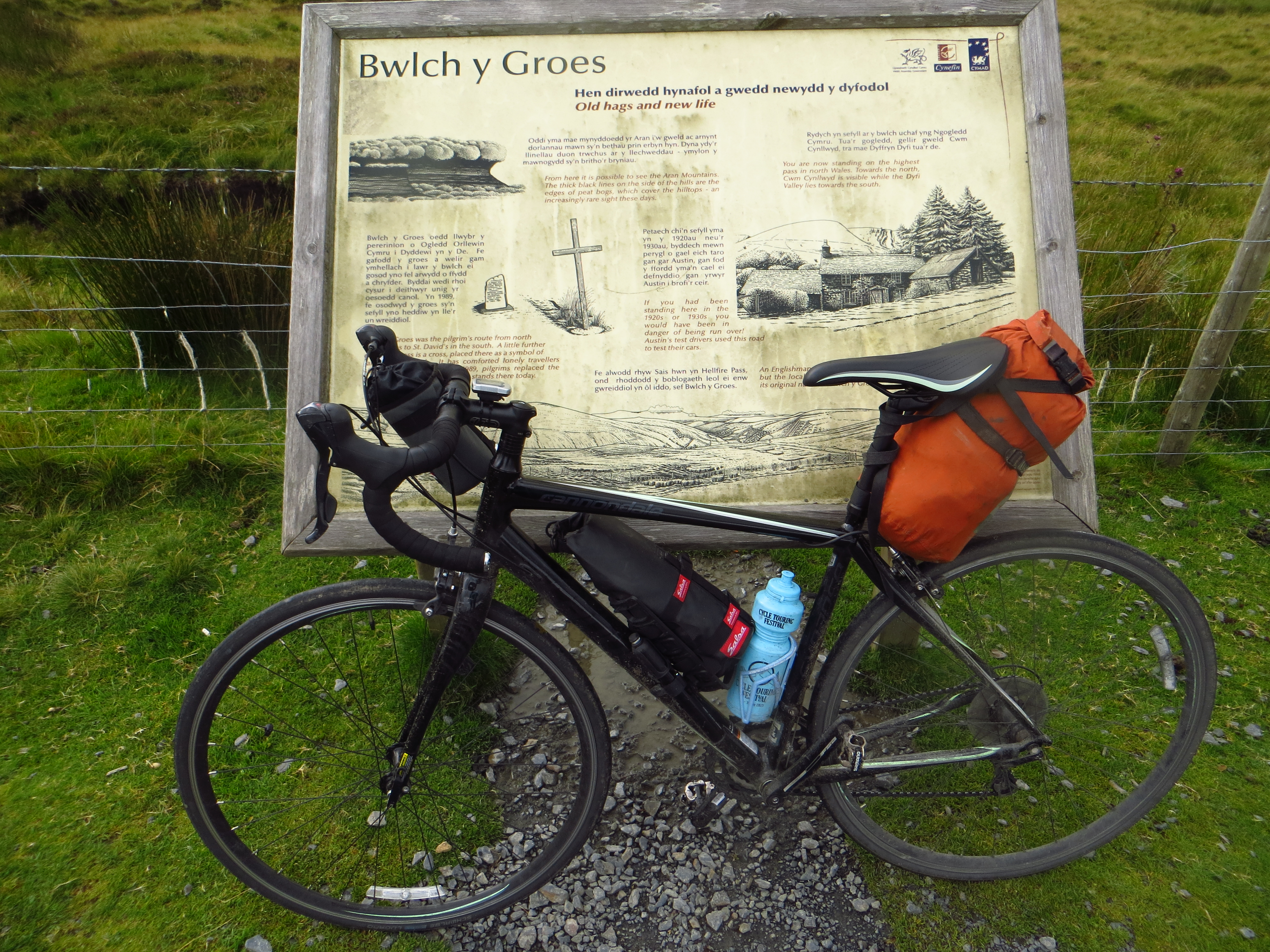
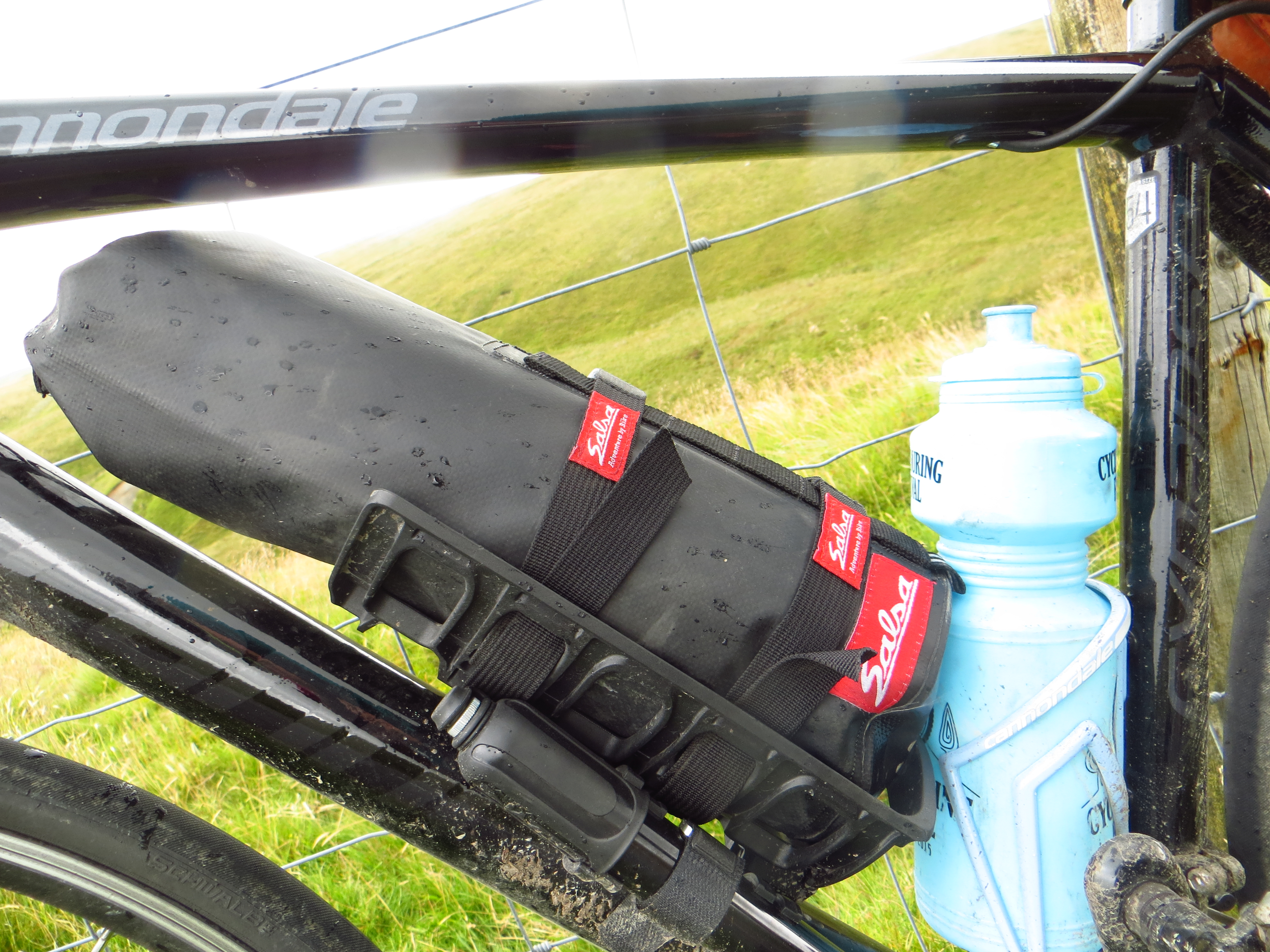
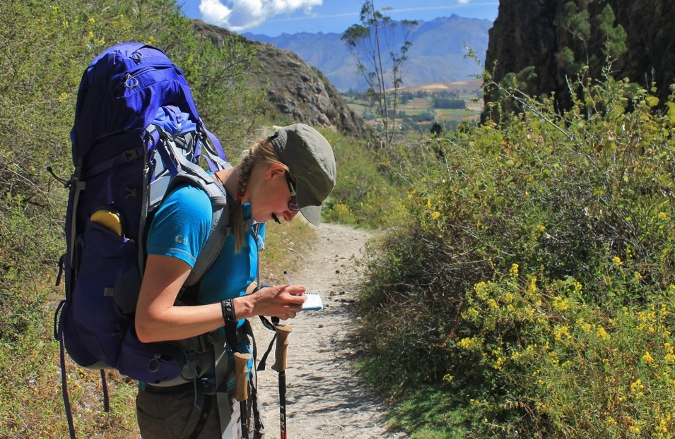
The luggage setup revolved around dry bags and podsac straps. Not the quickest or most convenient way to store kit, but it was cheap, waterproof and worked pretty well.

En route to Ben Hope

About to head off-road into Glen Golly.

Anti-midge tactics in Glen Golly

The ferocity of the midges took us by surprise and meant camping was not the relaxing experience it normally is. Until we were able to get our hands on some midge nets, the face buff was the best protection.

Shortcut to Arkle

A fun little shortcut to Arkle.

Shortcut to Arkle

___

En route to Arkle

___

Arkle campsite, near the bealach

Our Arkle campsite, complete with Foinavon views.

Foinavon on the walk up Arkle

Foinavon, on the walk up Arkle.

On top of Arkle

Near the top of Arkle.

Descending to Loch Stack

Descending from Arkle to Loch Stack.

Descending from Arkle

Nearing the paving after the descent from Arkle.

Offroad near Ben Stack

Off-road near Ben Stack.

Checking we're on-track, near Ben Stack

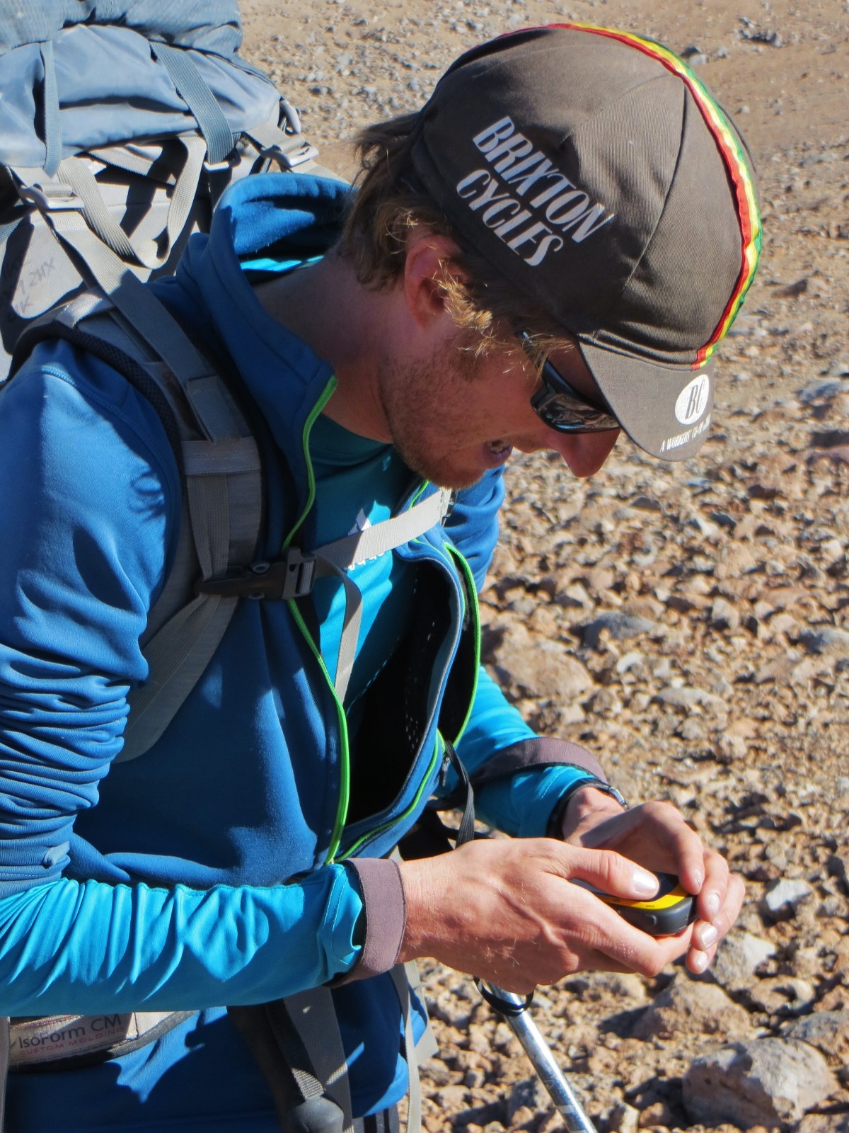
Checking we’re on-track, near Ben Stack.

Descending to Kylestrome

Descending to Kylestrome.

Ben More Assynt

Ben More Assynt.

On Ben More Assynt

On Ben More Assynt.

On Ben More Assynt

Still on Ben More Assynt.

On Ben More Assynt

___

Lochinver sunset

Sunset in Lochinver. We detoured to the coast on day 5 for the only well stocked shops of the 12 day trip.

Bothy home for the night

Our bothy home for the night, complete with dartboard.

Descending a windy Suilven

Descending a windy Suilven.

Offroading to Ledmore Junction

Taking the rough route to Ledmore Junction.

By Cam Loch

By Cam Loch, getting to the end of a good few hours of pushing.

Cycling along the shores of Cam Loch

Riding along the shores of Cam Loch.

In Strathcarron

Heading upvalley on the deserted road in Strathcarron.

Wildlife in Gleann Mor

Some impassive wildlife in Gleann Mor.

Riding up Gleann Mor

Riding up Gleann Mor.

In Gleann Mor

Some nice 4WD tracks in Gleann Mor.

In Gleann Mor

___

Looking west from Am Faochagach

Looking west from the summit of Am Faochagach.

Looking north-west from Am Faochagach

…and the view north-west.

Checking out the long-term forecast on Meall nan Ceapraichean

With phone reception hard to come by the Munro tops were the most reliable bet. Neil managed to organise a job interview in a gale on Suilven; here’s Haz checking the long term weather forecast.

Looking out from Glenbeg bothy at the deer

Looking out from Glenbeg bothy at the deer.

Escaping the bogs in Gleann Beag

Escaping the bogs in Gleann Beag. Not much riding was done up there…

What happens when you use your leg to catch the pan of boiling water that's falling off your camp stove

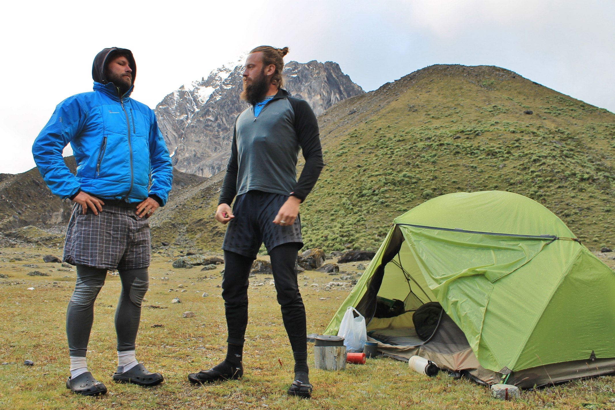
A nice calf shot to finish. This is what happens when you use your leg to catch the pan of boiling water that’s falling off your camp stove…

Welsh Black Top and a Skinny Ride

It’s strange to go from a life where every hour is recorded with a photo of some mountain scene, meeting different people everyday and sleeping at a different coordinate every night to a lifestyle where you sleep in the same place, spend all day in the same place and the hours and days all merge into one. We desperately needed somewhere we could call home, so have chosen to ‘settle down’, and I have a great job helping people plan trips to Patagonia; but you can’t help missing life on a bike.

I had a week of leave and sadly Neil had to work so I took my shiny new road bike and sought out some climbs, solo for the first time. I rollercoastered endlessly and felt blissfully happy just spinning my wheels, deep in my own thoughts and chatting to the lovely people I met. This was the Harriet I like the most.

IMG_0097

After consulting the weather forecast I decided hostels and Warmshowers were the way to go. I carried a Wales atlas book, waterproof jacket, Primaloft jacket, a towel and flapjacks.

IMG_0051

Setting out from Abergavenny my first target was the famous Tumble climb.

IMG_0054

As one must, I giggled at the Welsh signs. ARAF ARAF!!!! No I won’t!

IMG_0061

Across the moors in the pouring rain…

IMG_0069

…and onwards into the heart of the Black Mountains. Asking directions was proving difficult because I couldn’t pronounce the place names. Welsh is considerably more tricky than Quechua.

IMG_0070

At 18:00 I considered stopping in the town of Llyfhwlllwwwd Wells but I had spotted a cool little hostel in the hills that looked promising and continued to climb…

IMG_0075

What the hell is that?! Looks pretty steep…

IMG_0080

I’d seen the double arrows on the map, but climbing the Devil’s Staircase late in the day wasn’t intentional. Best take a selfie to record the moment. Looking a bit crazy, heart leaping out of chest.


Dolgoch

I spent the night at the wonderful Dolgoch hostel. Apparently this is what it looks like when it isn’t raining.

IMG_0106

This was becoming pretty normal…

IMG_0099

…whilst this seemed strangely out of place miles from the nearest house and led me to muse about how much better connected remote places used to be. If every post box was replaced by a telephone mast, the country would be as connected as it was 100 years ago.

IMG_0109

Paul and his bread van awaited me in Tregaron. I may have inadvertently barged in front of a man in a wheelchair and four OAPs in my clamouring for pastries. Sorry!

IMG_0127

Pastry powered, I spun over the hills and far away.

IMG_0155

I spent a night with That Emily Chappell‘s parents, watching Emily’s GPS dot race across Europe in the Transcontinental – an evening of pure geeking out and route planning – love it! This is a shop in their local town Llandiloes (the only place name I can say). Mid Wales has some great towns whose shops provide fabulous gossiping opportunities.

IMG_0159

I asked Mr Chappell to tell me of all the most interesting climbs, so he sent me up…

IMG_0173

…..and over to Mac(somethingorother) where I had been told that it would be silly not to hunt down the curry lady, being as it was market day.

IMG_0186

Then up…

IMG_0191

…and more halteringly…

IMG_0192

….over Belchy Grows pass

IMG_0200

A full hostel meant a night sleeping on a cafe floor, before I climbed a load more green rolling hills…

IMG_0216

and then I reached the sea. The thrill of having reached my destination, but a heavy heart at the realization that the adventure is over, for now.

IMG_0218

And as everyone knows when you reach the sea you MUST eat chips.

Sorry if there were more food references than usual. Thats what happens when you let a chica out on her bici alone. I’ll also take the liberty, whilst Neil isn’t watching, to add a gear shot.

IMG_0171

Salsa Anything cage with bag is great, though slightly thigh-swishy. It fitted a phone, wallet, lock, full size atlas of Wales and a bunch of bananas.

Stats:
IMG_0083IMG_0152  IMG_0204   IMG_0217


Our Guidebook is Printed!

We’re excited to say that we’ve finally laid our hands on a paper copy of our new guidebook – morePeru-Front-Cover-683x1024 than a year of hard work, condensed into 300g!

This advance copy was flown in from the printers, and the boxes of other copies should be in the UK by around 20th January, and can then start being distributed. If you’re looking for invaluable information about hiking or biking in this beautiful mountain area, inspiration about where to head to in the Andes, or just want to look at some pretty pictures and maps, please order yourself a copy.

We’ve put together the little website blancahuayhuash.com to sell the book from – please do take a look. If you buy directly from said site we can sign the copies we send you out, and the bonus for us is that we keep a far bigger percentage of the proceeds from the sale. If you’d prefer, you can also buy the guide (pre-order it, at the moment) from Amazon.co.uk and Amazon.com – there are links to these sites from this page at blancahuayhuash.com . (We get a small commission if you click through to Amazon from these links, but it doesn’t cost you anything extra).

Merry Christmas everyone, and once all the seasonal festivities are over, why not cheer yourself up in January with a copy of the guide to help plan for a trip to Peru?!

gracias,

H & N

We’ll leave you with some shots of us at work in the field …

IMG_0450_2136x1424_1024x683 IMG_4046_1200x1600  IMG_6958_1024x683 IMG_0867_600x800 IMG_6562_2136x1424  IMG_7226 (2)

A Quick Review of Cicerone’s Hiking & Biking Peru’s Inca Trails

Last year when we were out in Peru having a ball hiking and biking mountain trails, the kind people at Cicerone sent us a review copy of their new guide, ‘Hiking and Biking Peru’s Inca Trails’. For various reasons we’ve only just managed to get our hands on the copy, and though we haven’t used it in the field, can offer a few general thoughts on the book, and relay comments from friends who have made use of it on the ground.

631_FC

Firstly it’s a nicely written guide, with plenty of colour, enticing photos and comes in a compact size which is ideal for slipping into a rucksack when you’re out on the trail. There are loads of routes included, and even if you stick to just what’s in the guide you’d be kept occupied for months – maybe even for a whole dry season out there. In fact, it’s a wonderful source if you’re looking for inspiration and ideas about where to ride or walk in the area, with far more options than other guidebooks we’re aware of.

Leafing through it reveals that it doesn’t have a great amount of detail about individual routes – write ups aren’t that long, the maps are drawn at a scale of over 1:200k and don’t display that much information, and there’s no GPS information given; an index would’ve been nice too. Those that have used the guide out in Peru have told us that this lack of detail means it’s best to try and get more detailed maps and GPS tracks to accompany the book to avoid navigation problems on the trails, and also that the accuracy of distances and spot heights isn’t great.

So, a great place to get some inspiration, and we’re all for letting the world know what a paradise Peru is for hiking and biking, but you might want to get other information to assist you in finding your way when out on the trail.  (I know we’re not exactly impartial in this, but…) If you’re just looking to hike on one of the better known trails in the area, and want a guide with enough detail to help you do this, you’ll find the hand-drawn maps and longer write ups in Trailblazer’s The Inca Trail guide are a lot more comprehensive.


Bye Bye Huayhuash

A year since our arrival in Peru; it’d flown by. 12 months wandering trails, turning cranks up hills, flying frozen down descents and softly shaking Peruvian hands. In a few short weeks we’d be back in the old country, and for the first time didn’t have a ‘next trip’ planned. Heading back to the UK to stay was a foreign concept – we’d spent longer in Huaraz than almost anywhere these past few years. At the foot of the Blanca, it’d been a good home.

For our guidebook research we’d saved a real treat for last: a return to the Huayhuash, in the company of two fine young bicycling gents, Alex and Nathan.

The climb to  Carhuac.

The boys on day 1. Flights to catch = double stage day = bad idea, when you’re weighed down by food and cyclist-conditioned legs.

Yerupaja Grande, Chico and Jirishanca, from Carhuacocha.

The morning sees spirits restored and much whooping from the otherwise quiet camp above Carhuacocha. Never tire of that Yerupaja-Jirishanca view.

Packing up camp, below Yerupaja.

Everyone’s second-favourite Austrian and Peru’s most famous Jesus-impersonator discuss whose turn it is to carry the peanut butter.

Carhuacocha, Huayhuash circuit.

The clouds roll in, engulfing the peaks. But the lake’s still there, looking mighty fine…

Climbing to Siula Punta.

We climb…

Climbing to Siula Punta.

…and climb…

Hanging glacier on Carnicero.

… yet still the glaciers tower overhead. Sending down roaring chutes of snow…

Jirishanca Chico, and two of the 'three lakes'.

…that have us swinging heads round and staring.

Siula Grande, Cordillera Huayhuash.

Cresting the pass we’re rewarded with a sneaky view of Siula Grande…

The less spectacular, east side, of Siula Punta.

…before being chased down to camp by ominous clouds.

Passing Nevado Trapecio

The route over Trapecio Punta is a new one for all.

Nearing Trapecio Punta.

Glaciers close enough to touch, but we don’t linger.

Wandering past Nevados Puscanturpa.

It clears…

Nevado Puscanturpa.

…leaving Puscanturpa to escort us down to Cuyoc camp.

Quebrada Huanacpatay, on the climb to Paso Jurau.

Previous sky monitorings inform us of the need to beat morning clouds to the pass. We’re soon warmed by the brisk climb to Paso Jurau.

Yerupaja (6620m) from Paso Jurau. Cordillera Huayhuash.

Boom! Morning rays on the east flanks of Yerupaja…

Looking north from Paso Jurau (5060m).

…and shimmering fingers ease their way into the Sarapococha valley.

Rasac, Yerupaja and Siula Grande, from Paso Jurau.

An hour of, well, just looking, was an hour well spent…

Descending from Paso Jurau

…before crunching down scree…

Quebrada Sarapococha

…into technicolour Quebrada Sarapococha – the arena where Joe Simpson once battled against death.

Wandering towards the Jurau glaciers.

We descend, to spend an afternoon sheltering from rain, with little to do except look forward to the egg and chips we know will be on offer in Huayllapa the following day.

IMG_8232_2136x1424

There is some light entertainment, watching the chaps preparing themselves for reintegration into society. Not every day Messner gets out-bearded, but the judges were unanimous on this occasion.

Some small adjustments before Tapush  Punta.

The chips and egg materialize, accompanied by the Champions League semi-final. Watching Real humble Bayern in a shop in a rustic Cordillera village would’ve fazed us once; but when you’ve watched van Damme films in Tajik yurts, it’s hard to be too surprised these days. An overcast day goes by, then a mountain appears and Pike takes out his camera again.

Camping at Incahuain. Above the usual campsite, to try and put as much distance as possible between us and an 'Enjoy Huayhuash' group.

At Incahuain we’re cheered by the cobradora selling us chilled beer, and dismayed listening to her complaints about other trekkers (the usual suspects). The sun appears…double rainbow*!

Jahuacocha, Rondoy, Jirishanca and the Yerupajas; from Incahuain.

.

Rasac's razor-edged ridge, Cordillera Huayhuash.

Ridges climb out of clouds…

Sunset on Jirishanca (6090m), Cordillera Huayhuash.

…Jirishanca resplendent in the evening sky…

Early morning on the way to Sambuya Punta, Cordillera Huayhuash.

…and then, to bed.

Climbing to Sambuya Punta.

Morning dawns…

The Rondoy - Ninashanca wall, Cordillera Huayhuash.

….to mighty Rondoy, but heavy hearts.

Yerupaja, from Rondoy Punta.

Chow for now; bye bye why-wash. Hasta la proxima!


* We soon learnt this was Austrian for ‘kühl, ja’.

[flickr_set id=”72157644711908786″]