| Name of Pass | Kozur La |
| Altitude | 5,626m |
| Type of pass | Trekking route – pushing/cycling |
| Where | Between the herder settlement of Rajun Karu (11km, 4,950m), and Gyamabarma |
| GPS Co-ords | 33.130 N, 78.099 E |
| Climb | 750m from Rajun Karu in 3 hours |
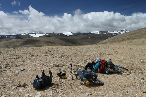
This pass is the highest point on the trekking route from Tso Kar to Tso Moriri. We were only able to ride a small part of the climb, but could ride the majority of the descent to Gyamabarma.