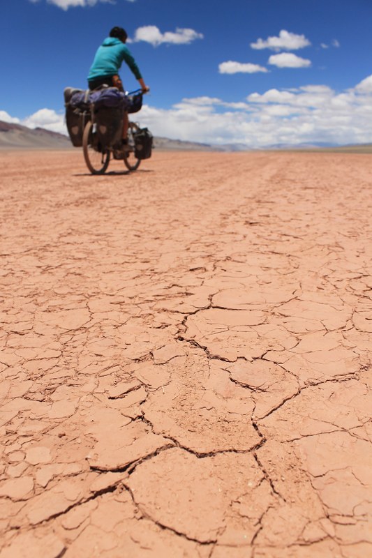
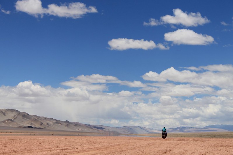
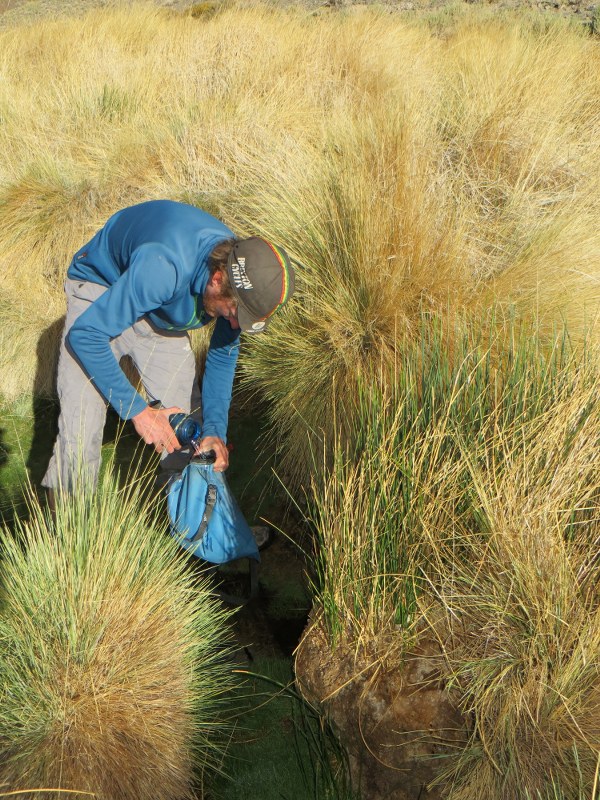
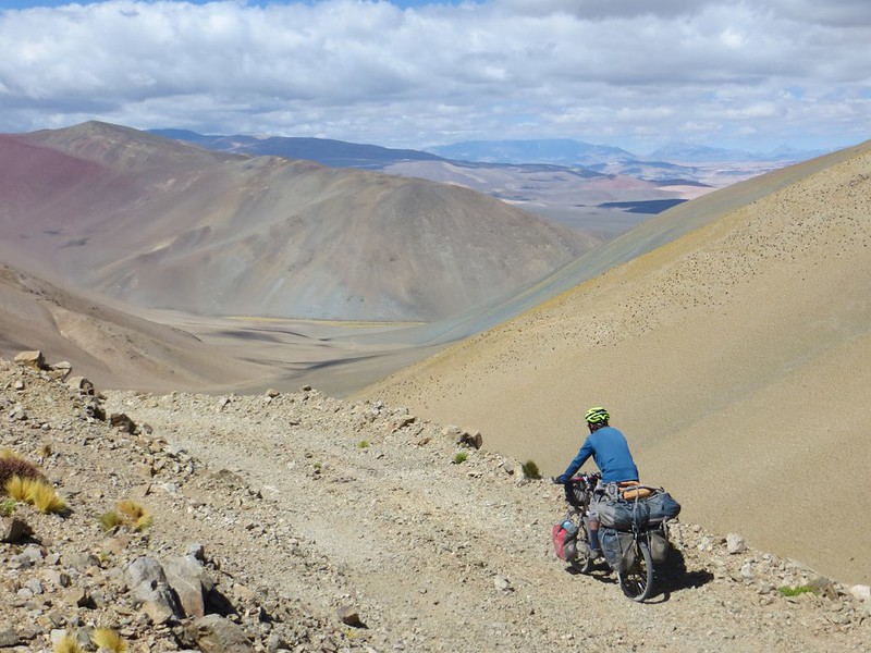
Puna 9: Part 3 – Tres Cruces Sur and Central, and El Muerto

In December 1936 a group of four Poles, along with their guide, four muleteers, 23 mules and two horses set out for the heart of the Puna. Rumour had it there were some high peaks in the area, and they were there to climb them. As well as looking for adventure, they were carrying out scientific research and some mapping and carried 400kg of equipment, which made for slow, steady progress. It took eight days to walk to their base camp near Los Patos at 4300m.

Over the course of the next two months they made first ascents of Patos, Pissis, Nacimiento, Ojos del Salado, and the next objective on our Puna 9 trip: Tres Cruces. As we made our way to the peaks, we wondered what would they make of the majority of today’s Andinistas driving to 5800m on Ojos, or the 4×4 we encountered at Tres Cruces base camp, situated at a lofty 5200m? The Poles must have gone weeks without hearing from family or friends – these days it’s possible to receive SMS weather reports on satellite phones from loved ones back home.

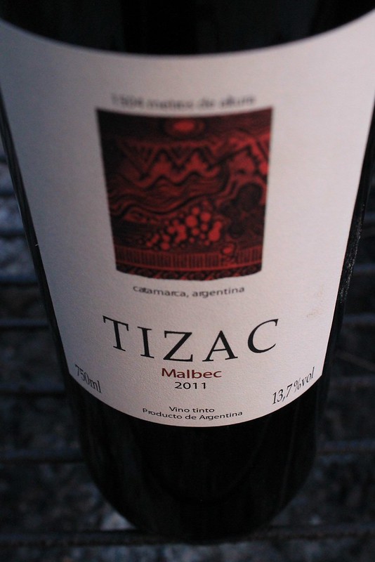
One thing that probably hasn’t changed is the amount of wine and good food that’s consumed in the refugios/camps. (We’ve read ‘The Ascent of Rum Doodle’, so know all mountaineers in the old days ate well and drank a bottle of vino tinto every night.) Being able to drive up to the mountain bases in a few hours from the large town of Copiapo means groups these days quite rightly bring huge food stores with them.

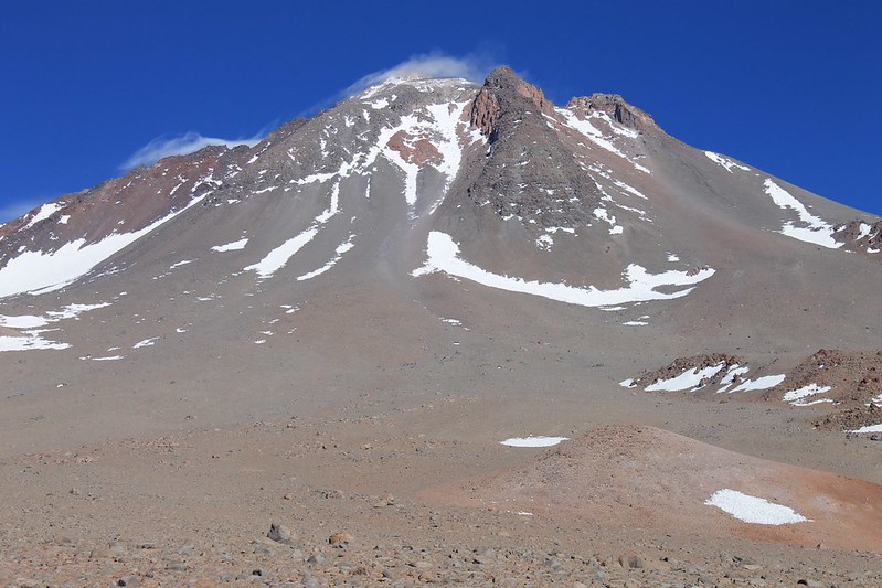
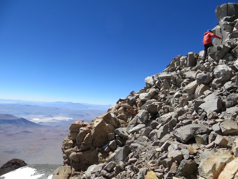
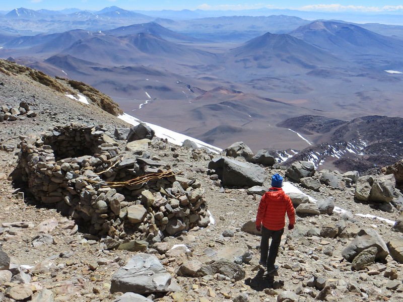
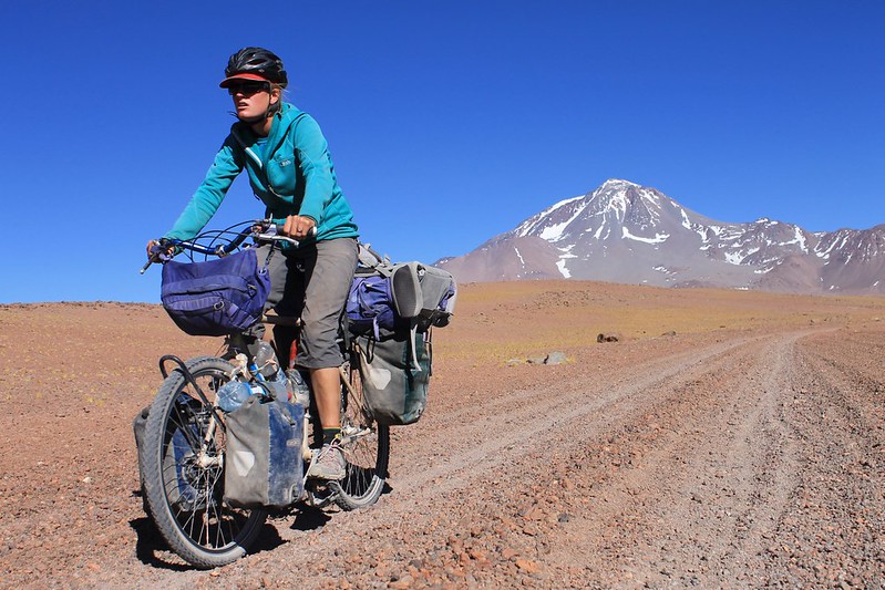
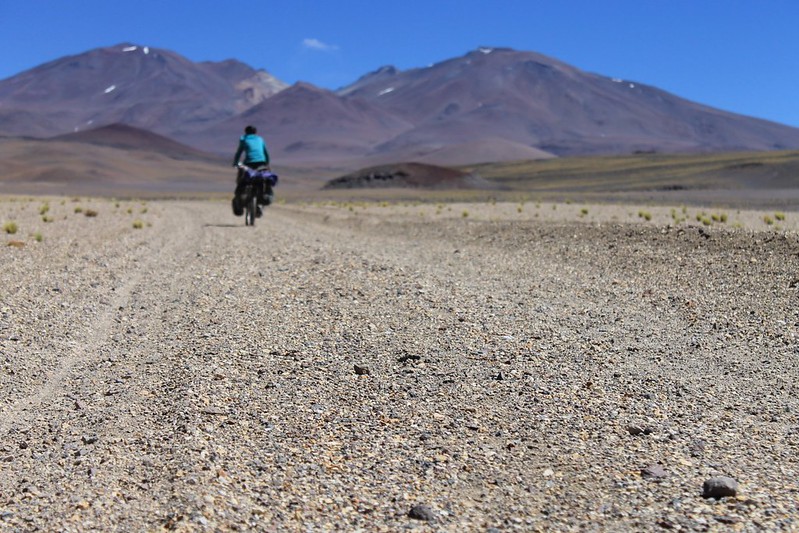
This section of our Puna trip differed greatly from the previous ones. For a start, the roads had some traffic and we even bumped into a few people on the peaks. The cycling was easy, on the route over Paso San Francisco, and reaching the base of Tres Cruces and El Muerto didn’t require too much more effort. With plenty of snow around, climbing the peaks threw up a bit more of a challenge than the previous volcanoes so we were happy to summit first Tres Cruces Central (6640m), then Sur (6750m) and El Muerto (6510m), in a five day window when the weather held good.
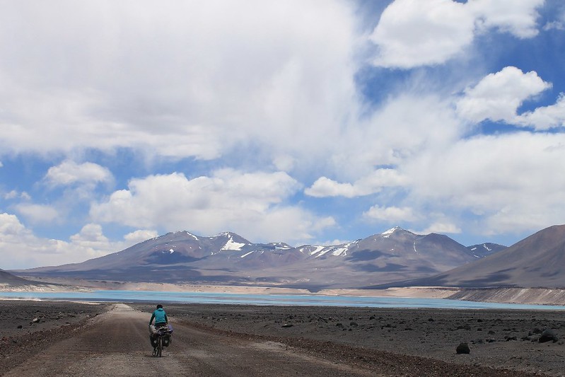
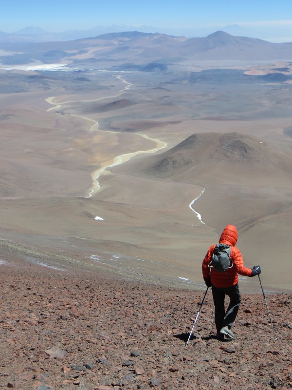
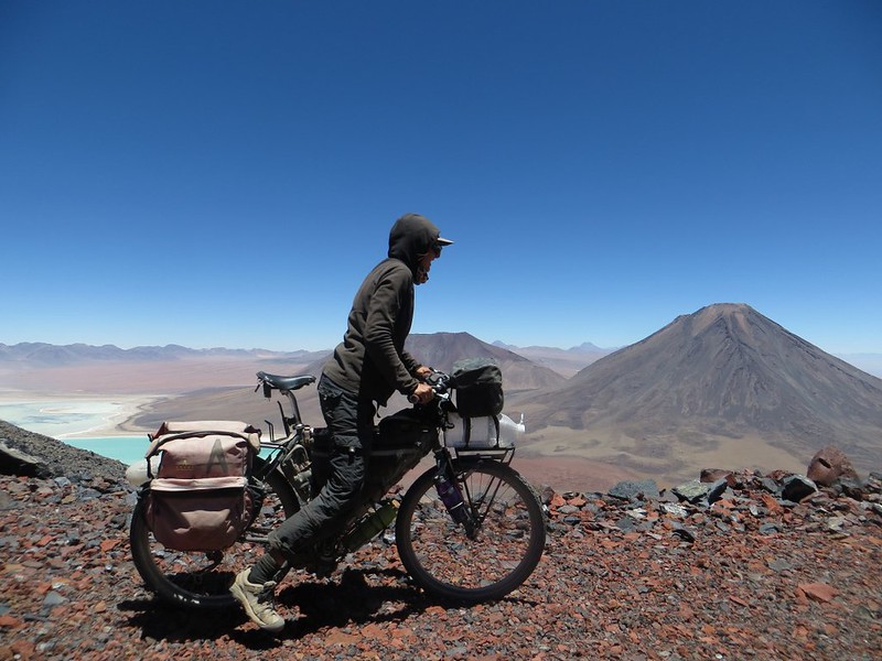
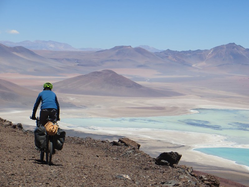
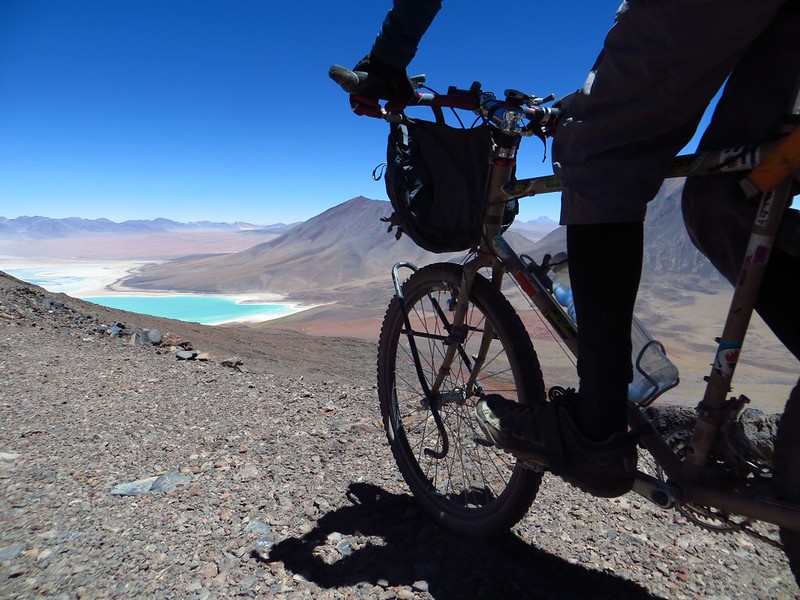
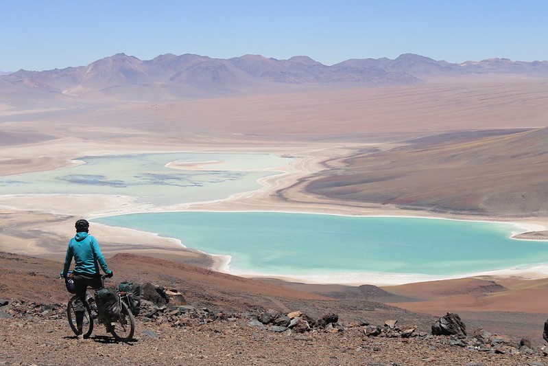
Descending to Laguna Verde

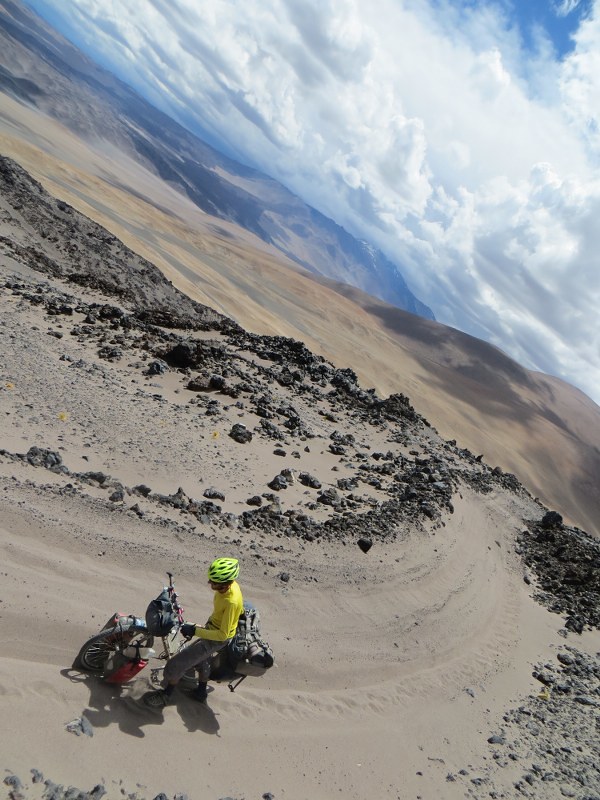
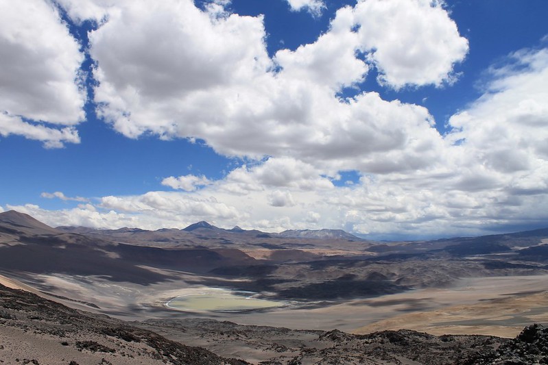
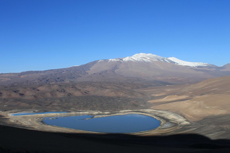
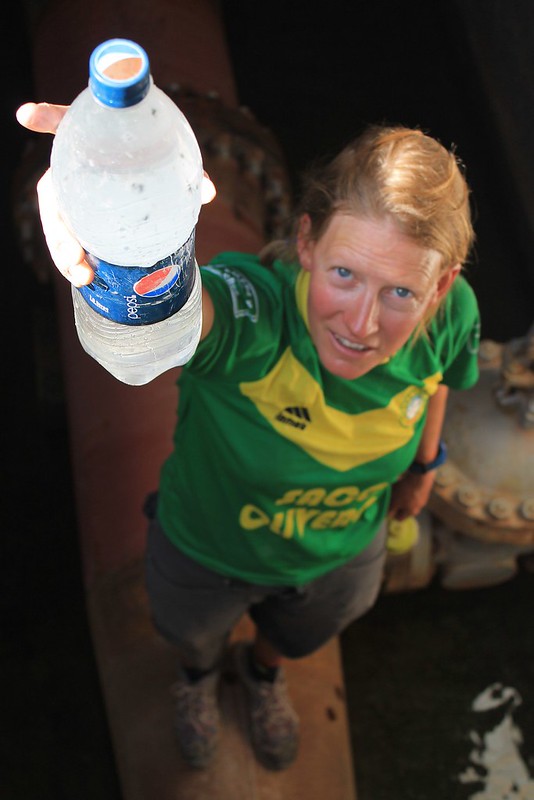
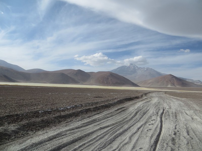
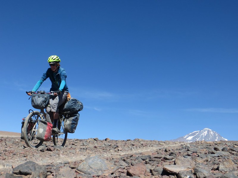
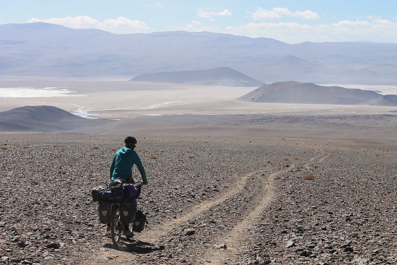
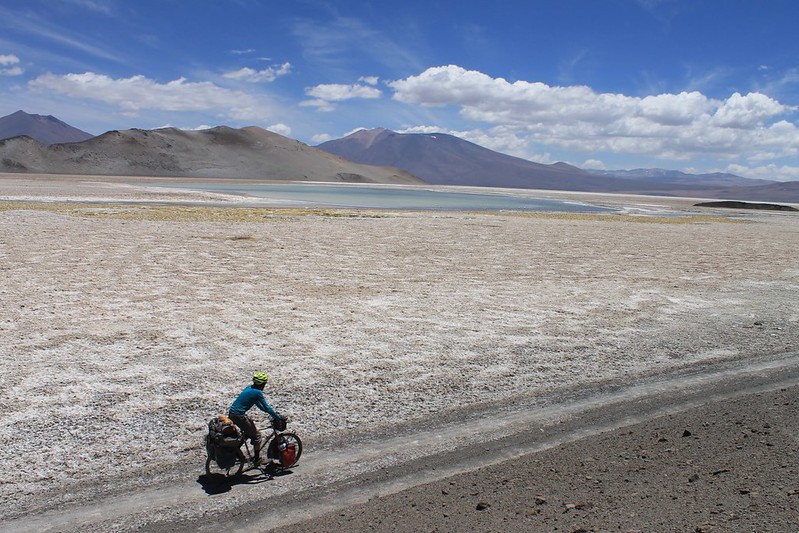
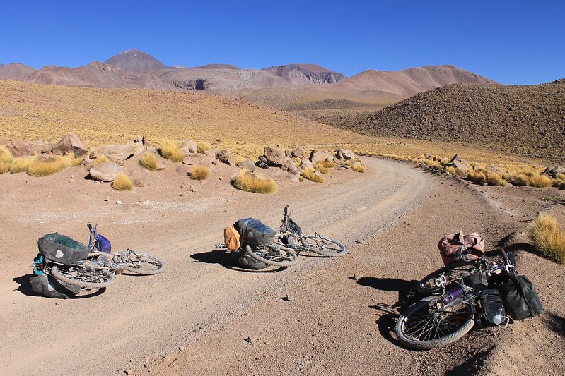
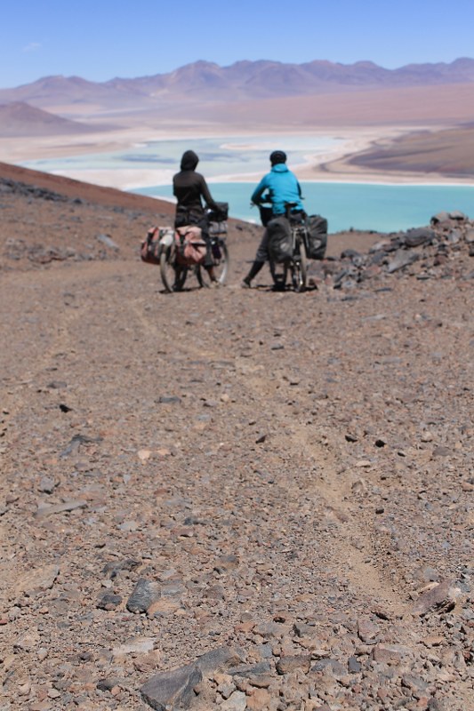
After a lazy week in Fiambala we’ve successfully completed our To Do list (which, at the beginning of the week read ‘Fatten up’). Neil is particularly delighted with his unprecedented weight gain: 7kg in 7 days. We didn’t sleep too well though – possibly something to do with the 1.5l of Pepsi we each drank every day? Then Jonson gives us a ride back up to our bikes at Las Grutas, and we continue our trip. Here we are descending from Paso San Francisco to Laguna Verde. The road surface on the Chilean side is far better now than when we were in the area in 2011, despite the fact that the construction company which was working on the road went bust before they completed the work.
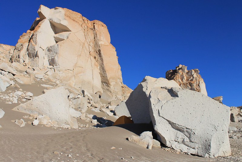
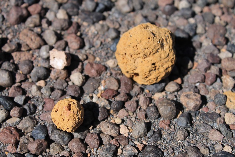
Camping amongst the pumice stone

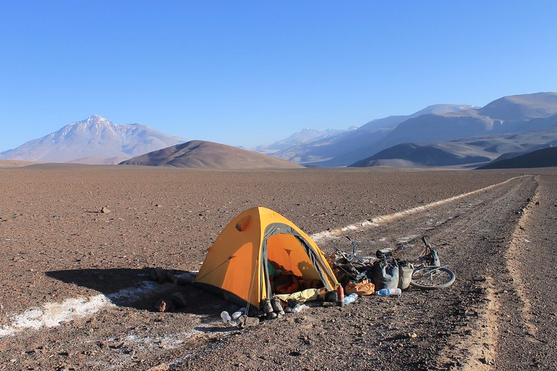
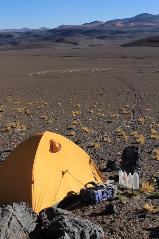
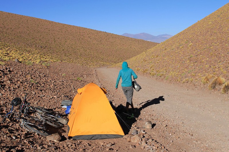
The first night sees us camping amongst the giant pumice stone, near the turn off to Ojos. The tent well hidden from the road.
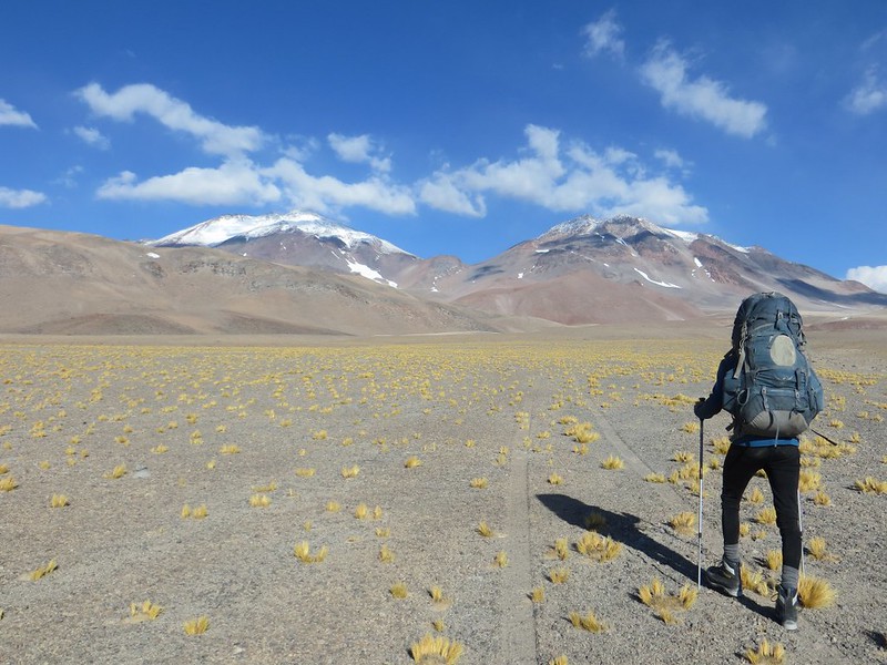
Packing up camp in the pumice stone

In the evening it’s a bit breezy, but the morning is still and sunny.

The walk to Tres Cruces base camp

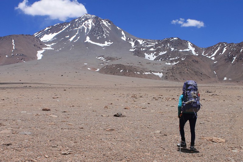
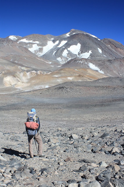
The new paving means that we’re at the turnoff to Tres Cruces by 11:00, so have time to hitch to the immigration post at Maricunga for our Chilean entry stamps, and back again, then wander to a Tres Cruces base camp at 4700m before nightfall.
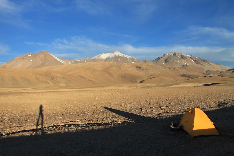
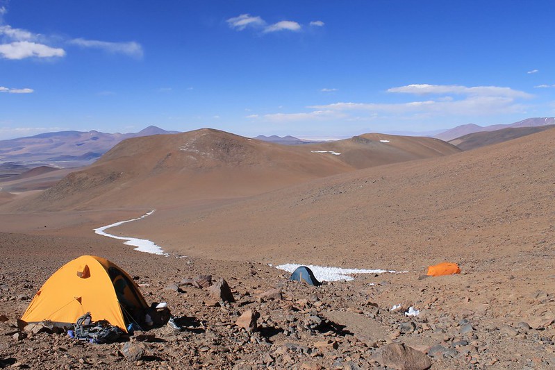
Base camp at 4700m on Tres Cruces

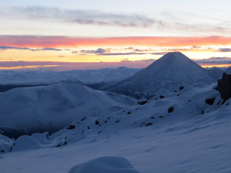
Base camp is a nice spot. L-R: Tres Cruces Norte (6030m), Central (6640m) and Sur (6750m).

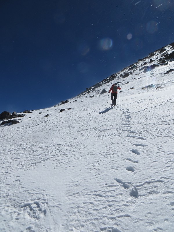
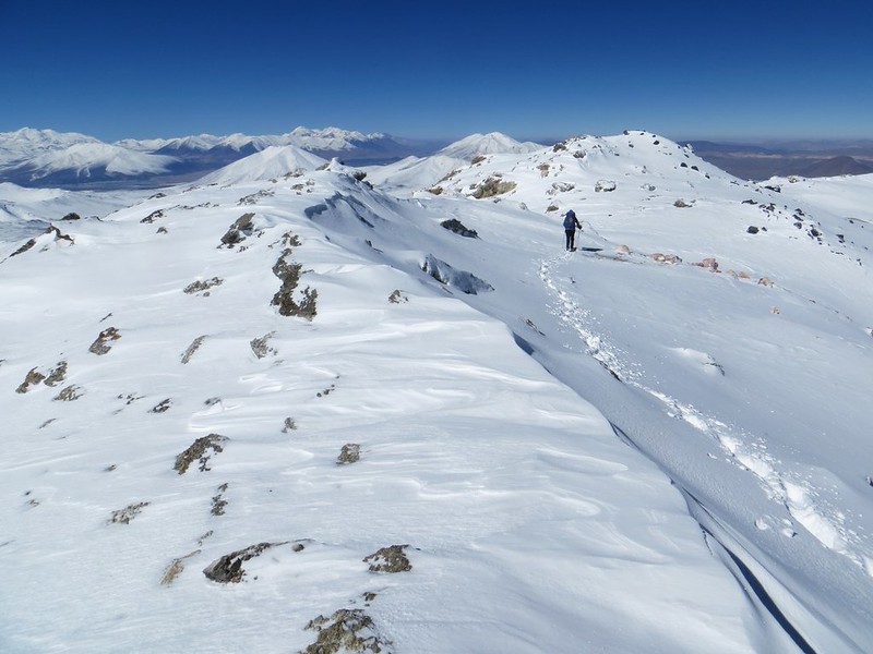
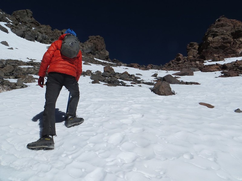
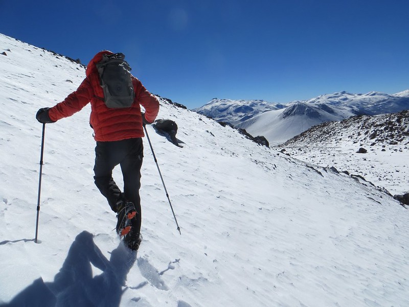
Through the fresh snow on Tres Cruces Central

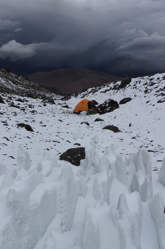
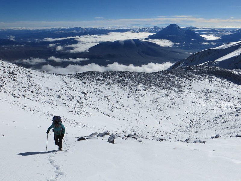
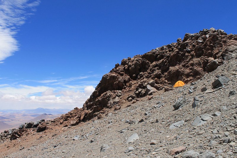
We spend a tiring day hauling big packs up from base camp to a great high camp on the col at 5930m between Sur and Central, and on arrival it begins to snow lightly. In the morning it’s breezy at camp, so we decide to change plans and head to the easier Central peak first. The wind dies and we enjoy a lovely climb.
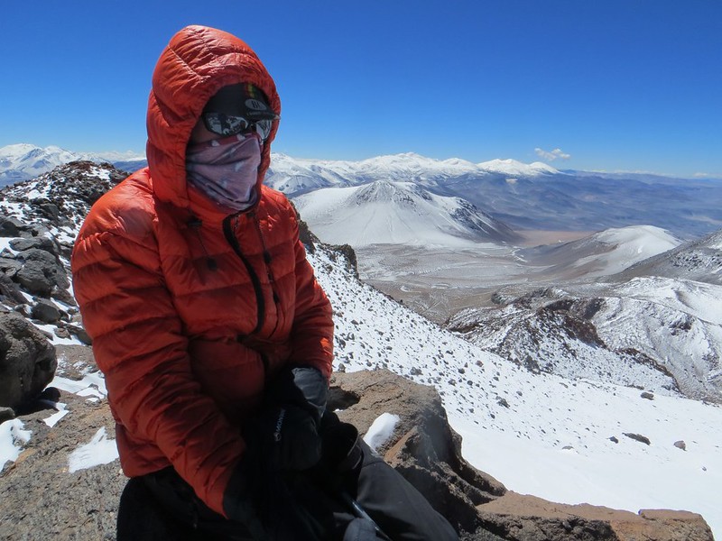
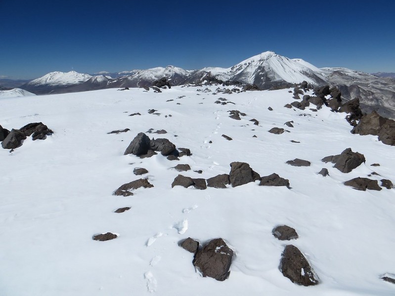
The summit of Tres Cruces Central (6630m)

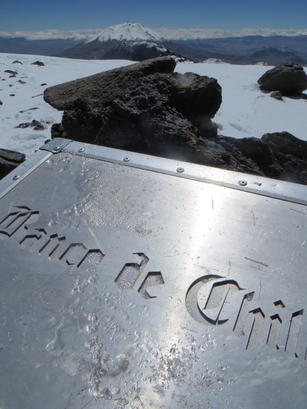
The summit crater ridge is a few hundred metres long and very flat, so we never work out which part is the real top – the summit book is buried somewhere under the snow. We walk the full length of the ridge a couple of times to make sure we’ve been to the highest point…
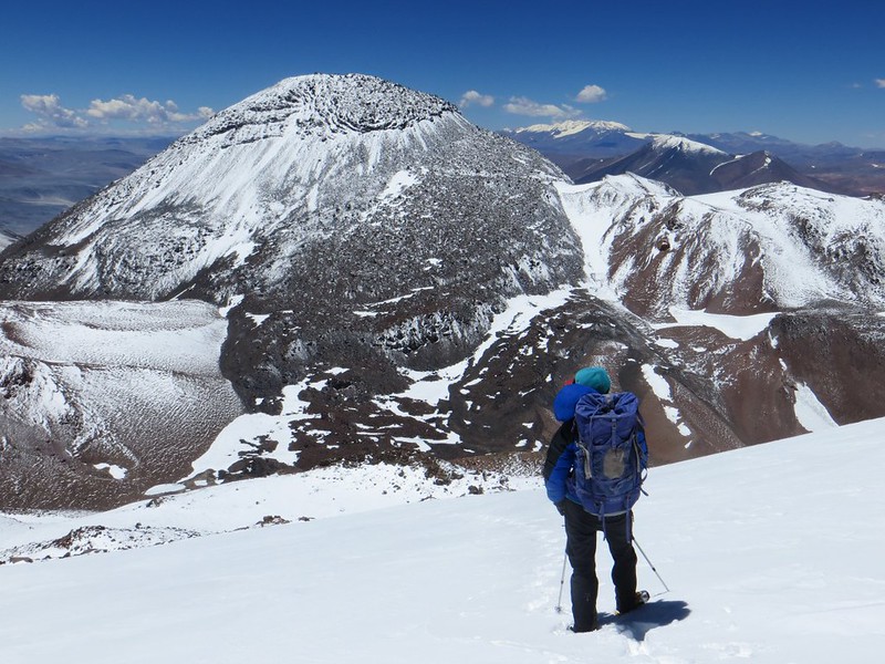
Tres Cruces Sur (6750m), on the descent from Tres Cruces Central (6630m)

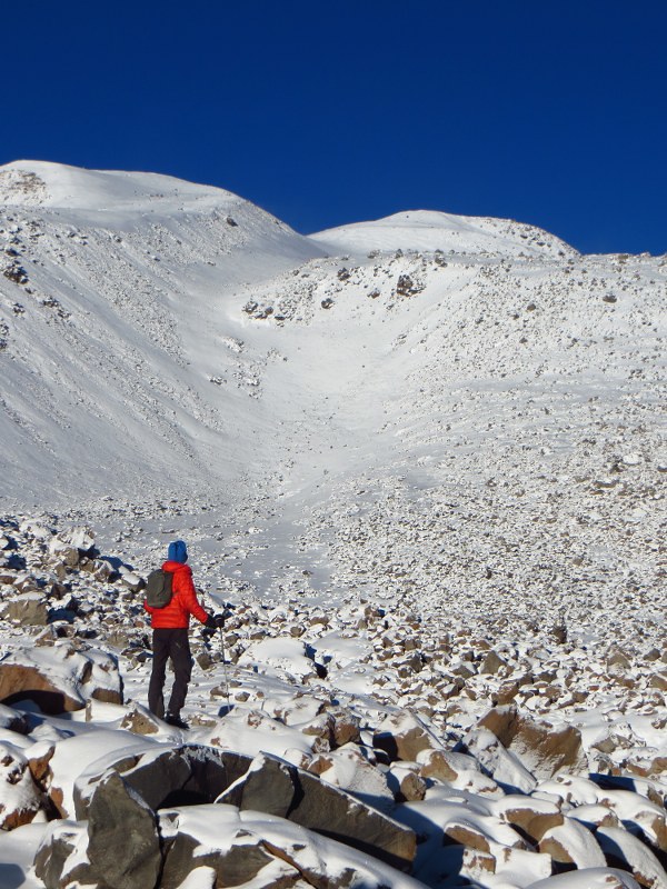
As we descend in perfect weather from the Central summit, we ponder the route we’ll take on Sur in the morning. Lots of ugly boulder fields between camp and the top.
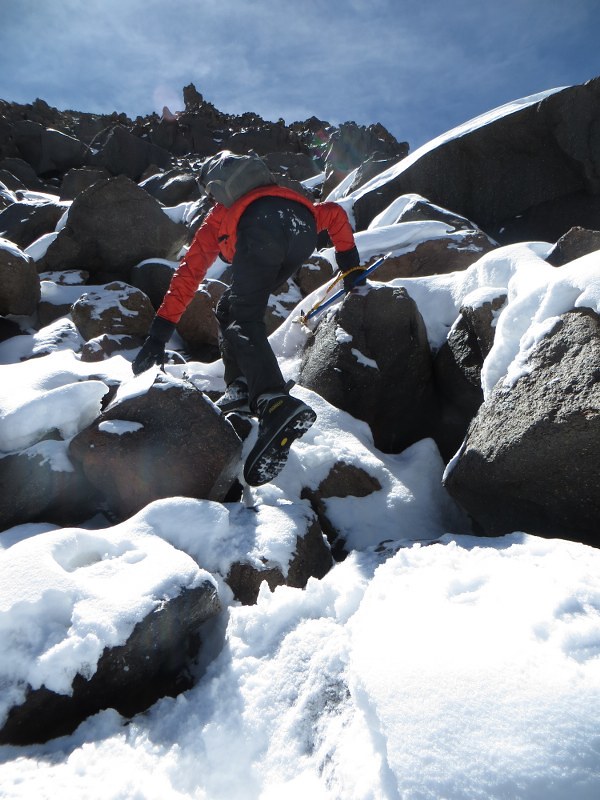
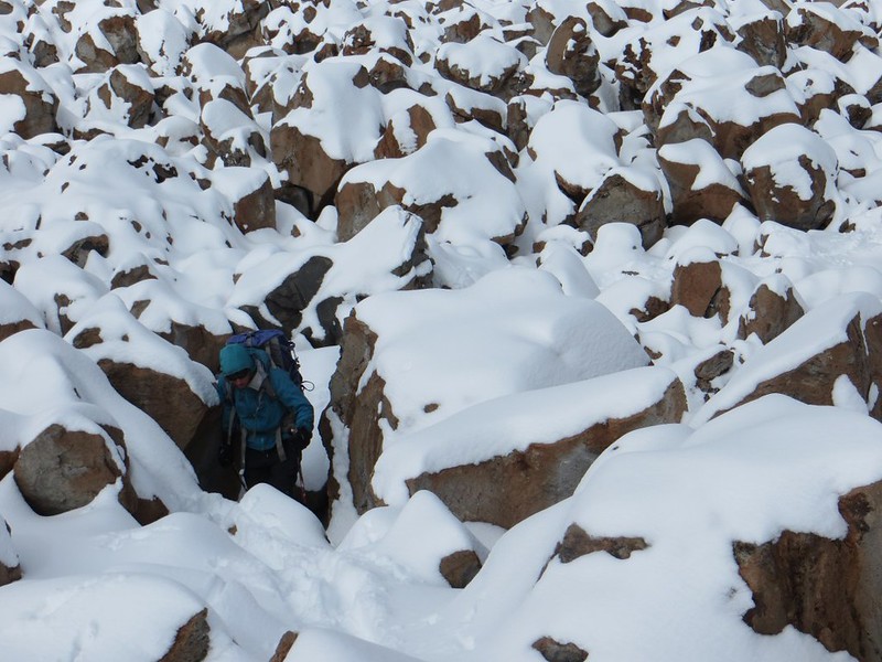
Slow going through the boulders at 6500m on Tres Cruces Sur

We leave at 07:00, which is pretty early for us, and make steady progress for 2h30 up to the snowy col at 6440m. Here we’re not far from the summit in a straight line, but the going becomes trickier.

The 'gate' through the rock band at 6600m on Tres Cruces Sur

Crossing the boulder field takes 90 mins, despite the fact it’s only 100m of ascent, and 500m horizontally. We have to take care with all the fresh snow that we don’t fall into one of the large holes between the rocks, which are sometimes hidden by the fresh snow. Then we reach the rock band at 6600m.
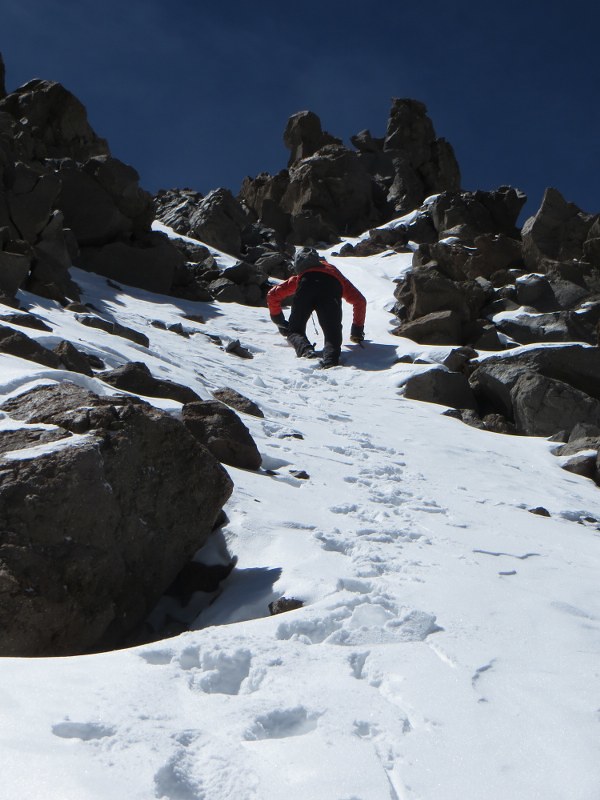
The top of the rock band (6640m) on Tres Cruces Sur

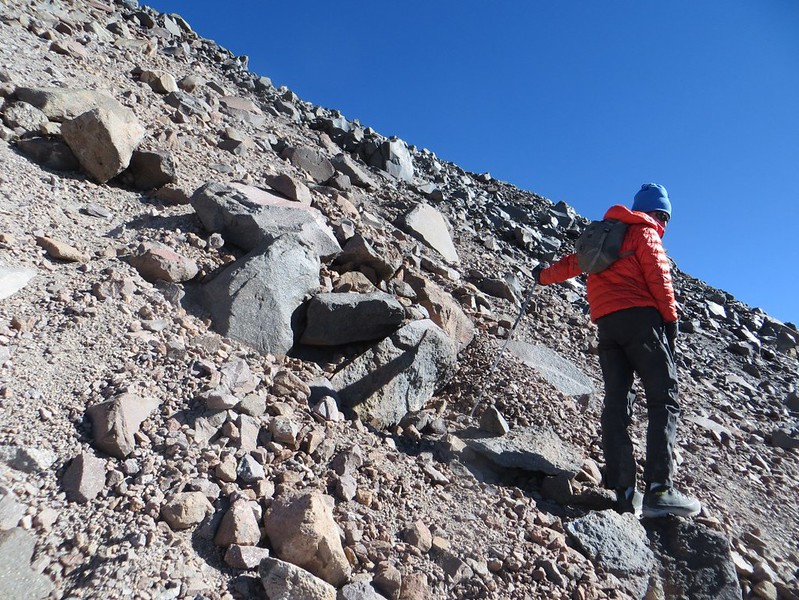
Usually this is the dodgiest part of the climb, and somewhere you have to take care due to the steep, loose terrain. Lots of rocks and small boulders just waiting to be dislodged and kicked down onto those below. But with snow this section is much easier that we are expecting, and we’ve soon worked our way up it.
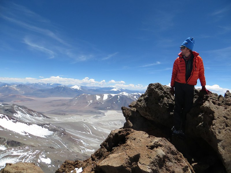
The true summit of Tres Cruces Sur?

Then comes another boulder section which is slow going – the last 100m (vertical) takes an hour as we continue gingerly through the rocks. At 12:30 we’re on the summit. This is the bit we think might be the highest, though the summit book (which again we never found in the snow) and Leki pole marking the top are a couple of hundred metres away.
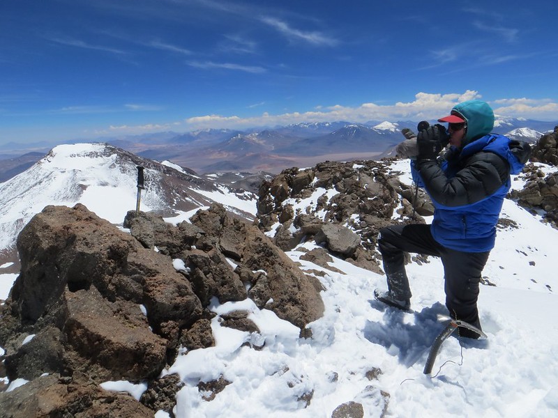
The summit of Tres Cruces Sur

Here’s the Leki summit. We dug around a bit for the book before giving up. The flat Central summit is on the left.
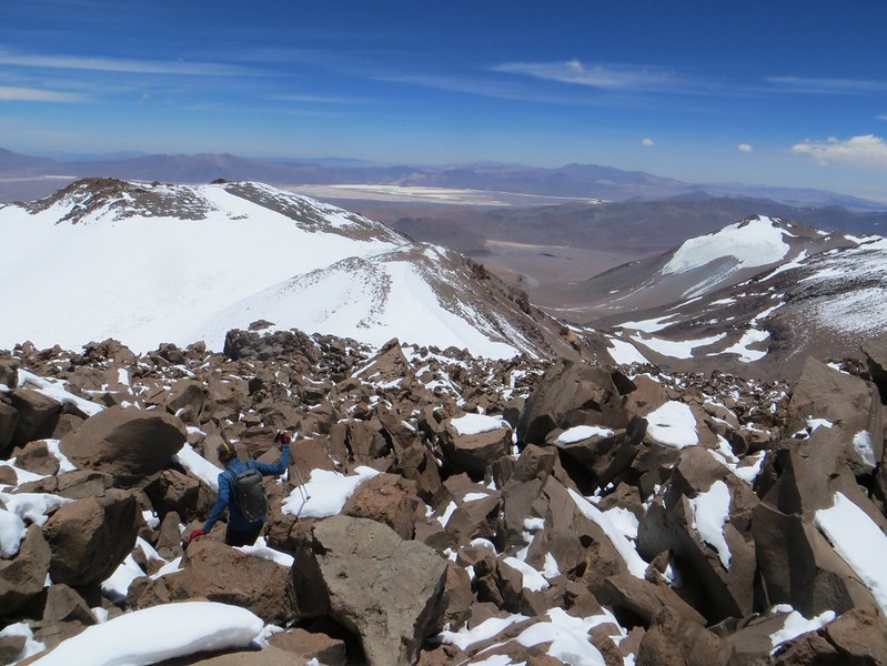
Descending the rock band on Tres Cruces Sur

Then it’s time for the two hour descent back to camp.

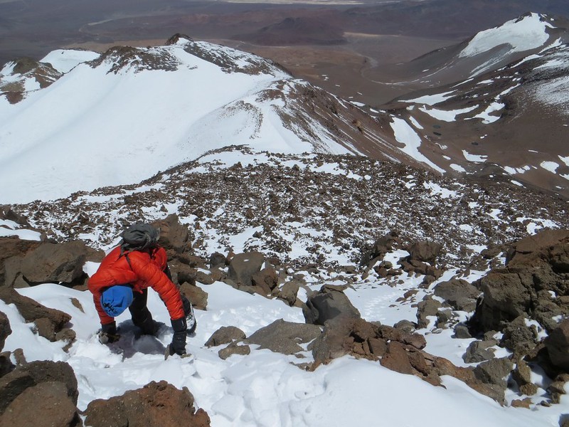
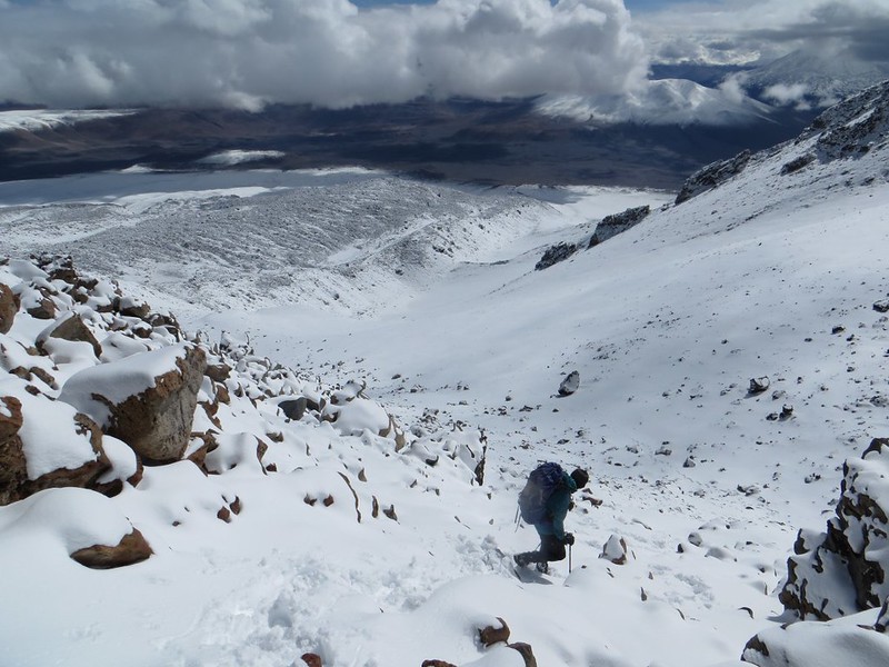
Descending through the boulders at 6500m on Tres Cruces Sur

As we can follow our tracks from the ascent, we move much faster through the boulders. Lower down we spend an unsuccessful hour searching for the body of a local mountaineer from Catamarca who mysteriously disappeared on the peak last year. Various searches have been made to find his body, but as yet it remains undiscovered on the mountain.
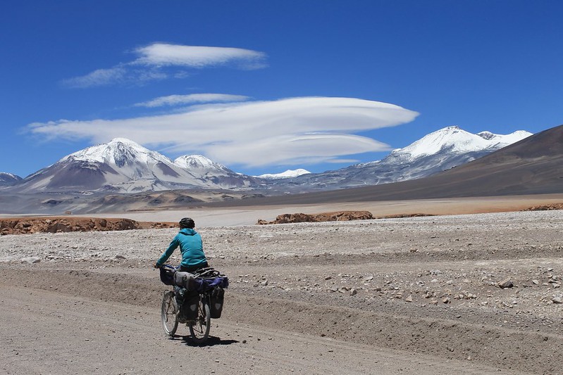
Cycling to El Muerto, and the lennies

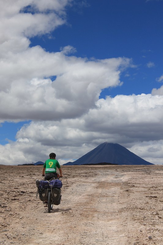
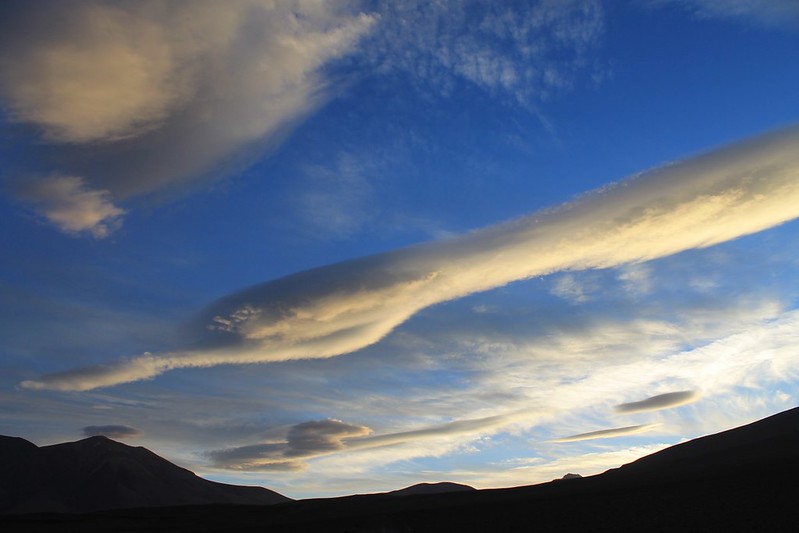
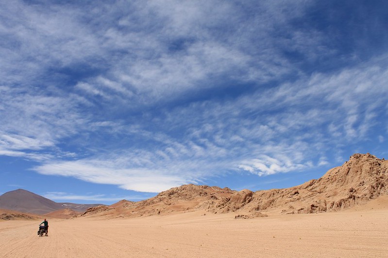
We manage to descend from the summit to our bikes at 4400m in an afternoon, and in the morning cycle east towards El Muerto. A battle between Argie and Chilean winds leads to these fascinating lennies hovering over El Muerto all day. Ojos is the peak on the right.
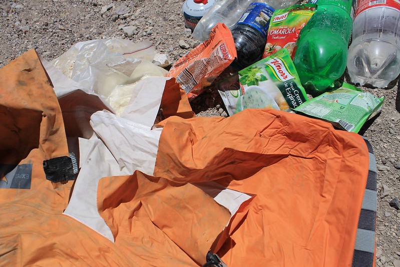
The food the Andean fox left us

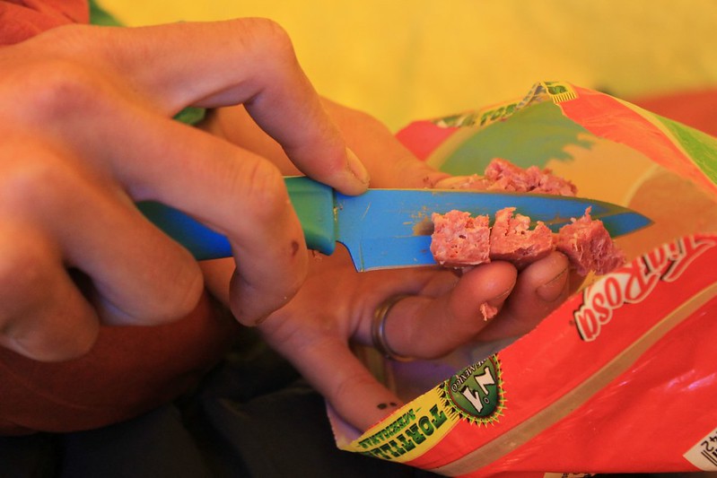
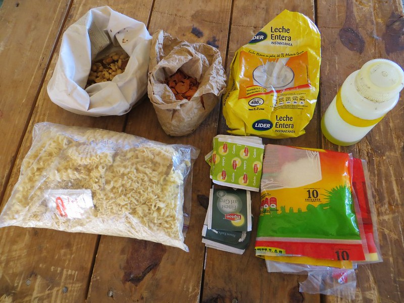
When we reach the Muerto/Ojos turn off we go to fetch the 4 days of food we stashed there a few days before. Only to discover an Andean fox has ripped open the dry bag, and eaten all the good stuff. Gone are the biscuits, salami, sugar, nuts and raisins. Strewn everywhere in the sand is the pasta. Left untouched are the oats. Luckily we’re ahead of schedule so this loss doesn’t prove too important. It just means we can’t stuff our faces with delicious Frutigran biscuits, like we’d been looking forward to.
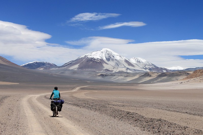
Cycling to El Muerto

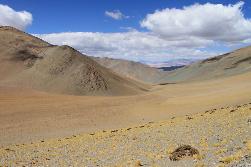
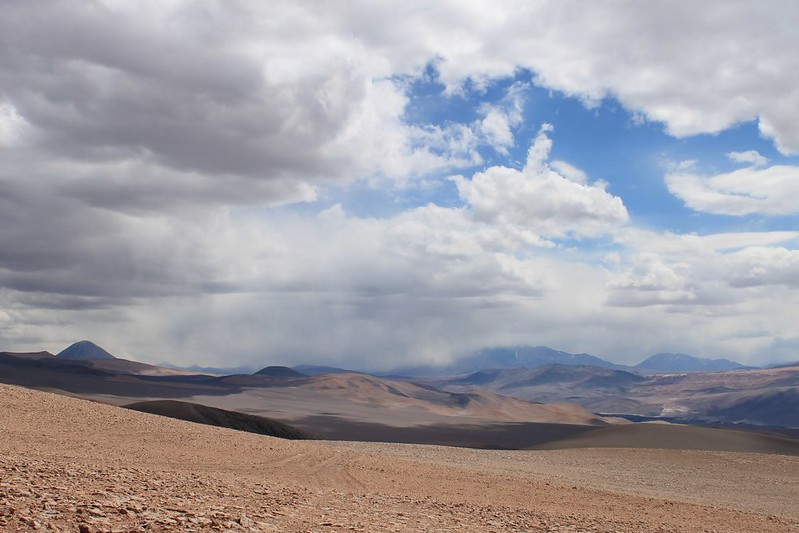
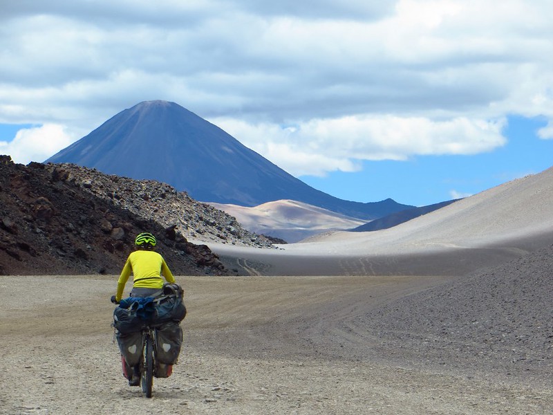
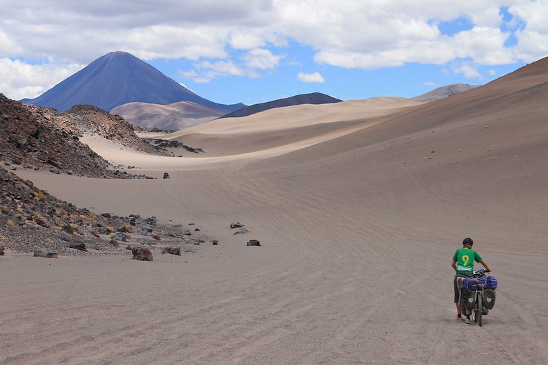
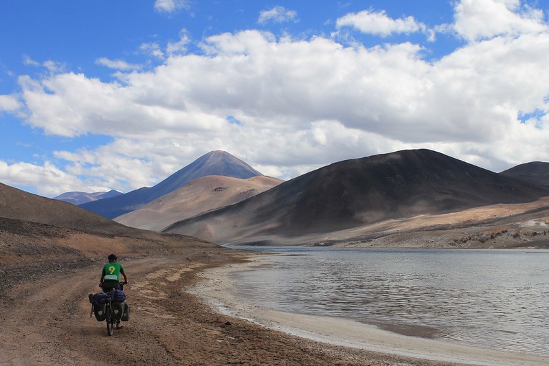
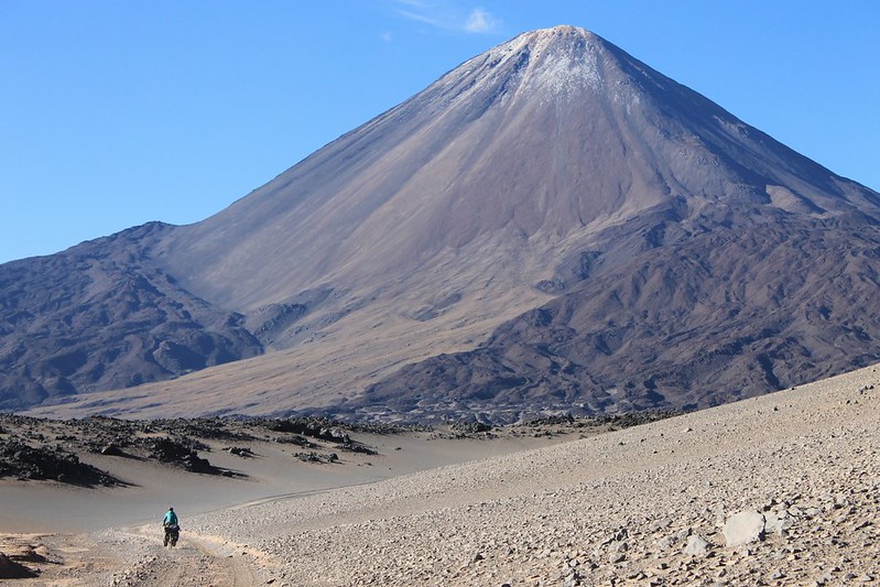
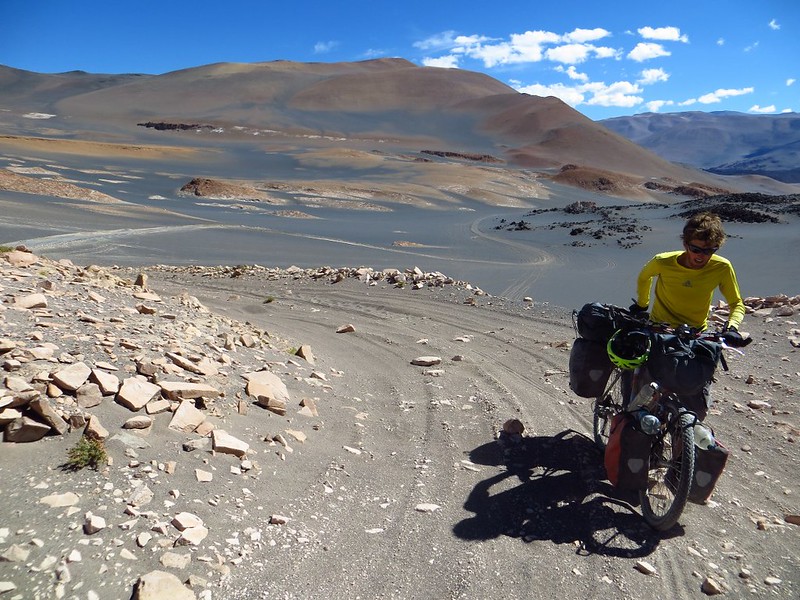
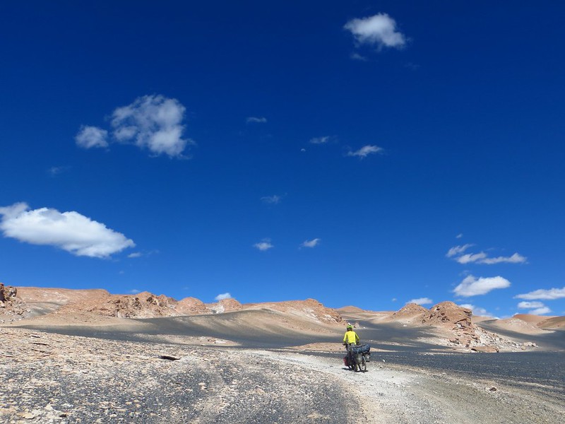
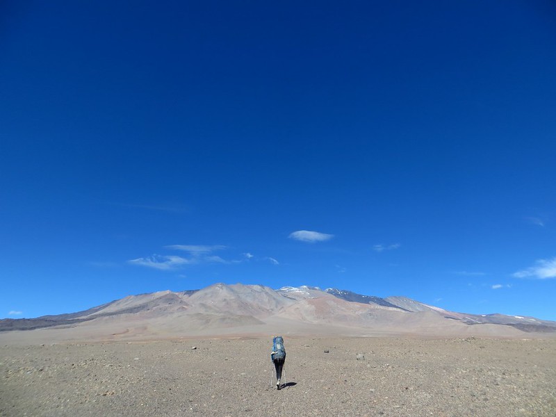
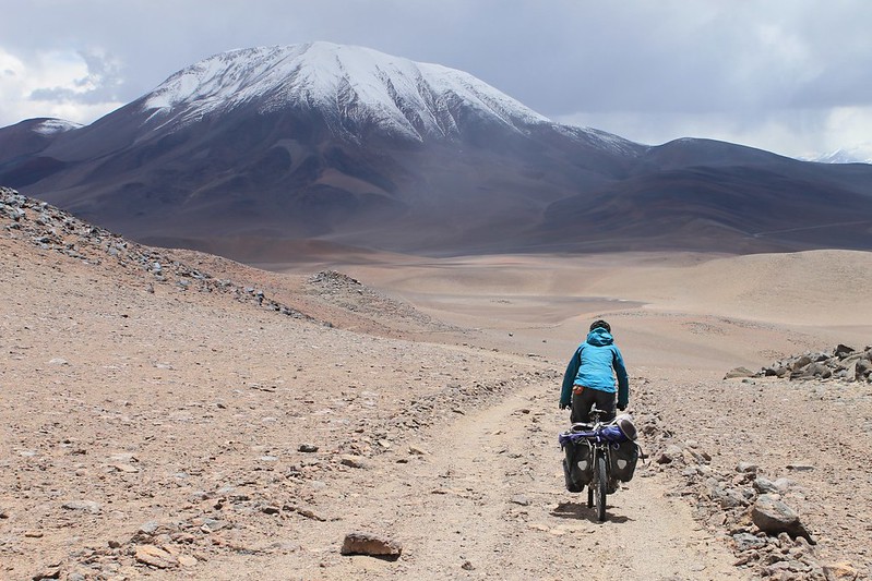
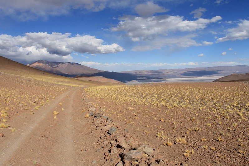
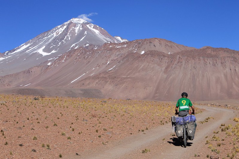
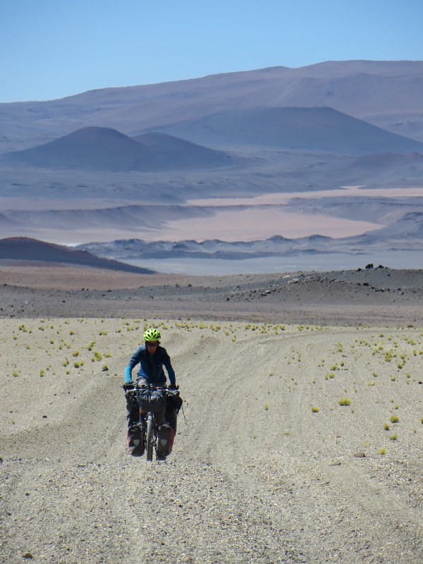
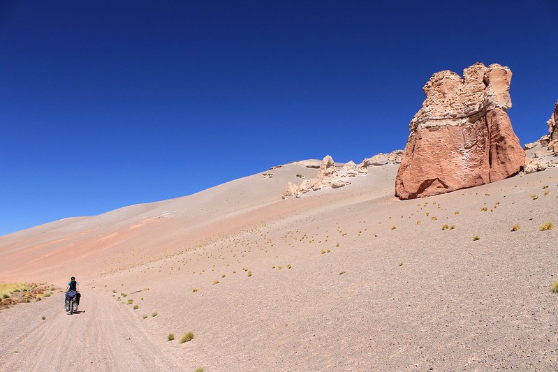
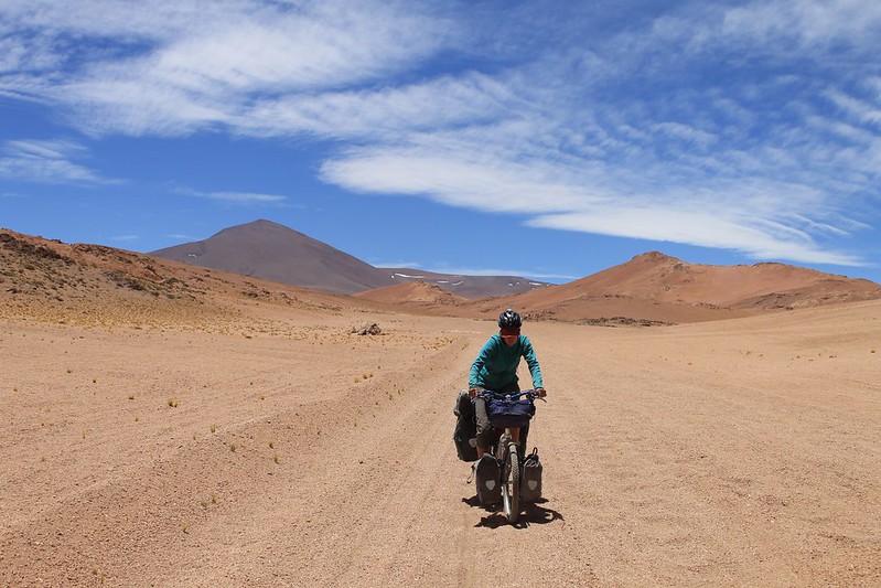
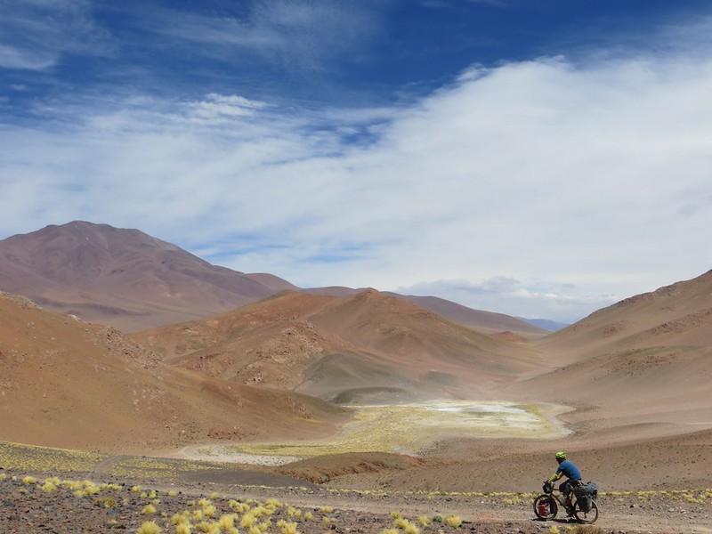
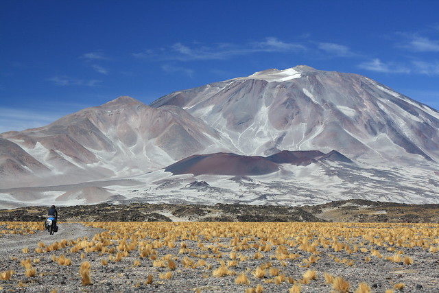
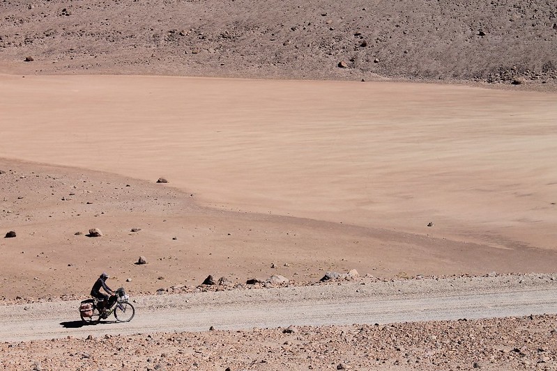
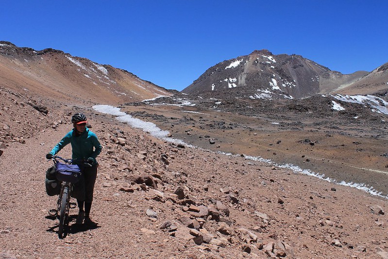
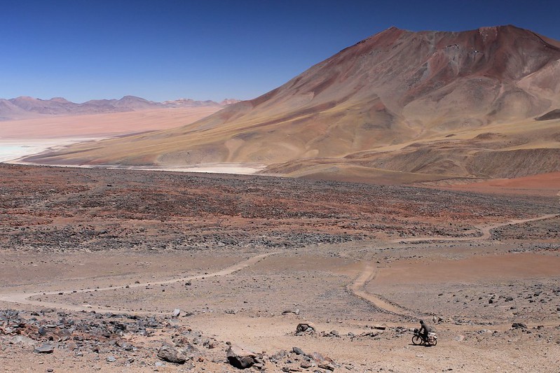
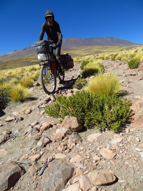
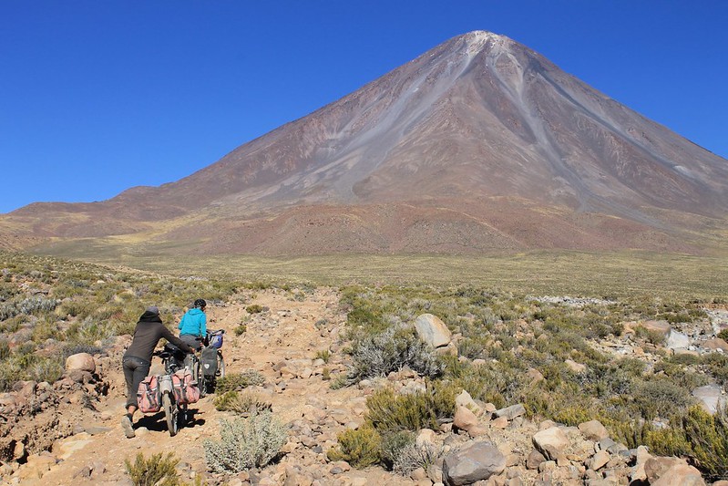
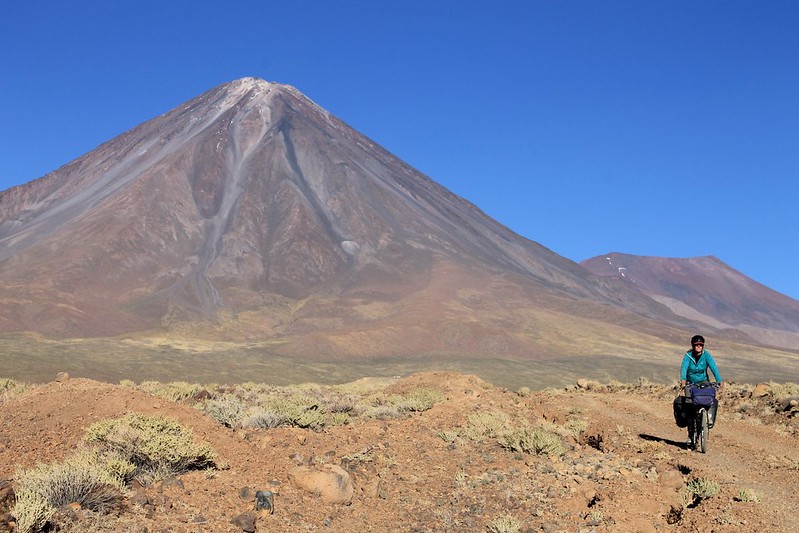
Then we continue towards ‘The Dead One’. It’s scenery like this that keeps enticing us back to the Puna.
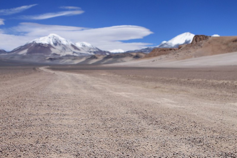
The road to El Muerto

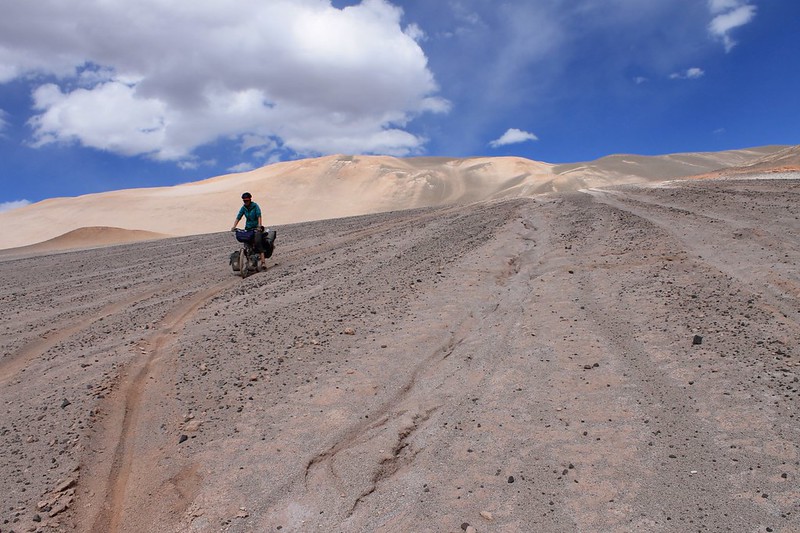
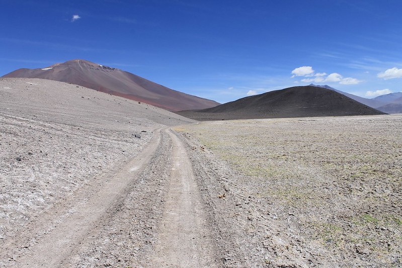
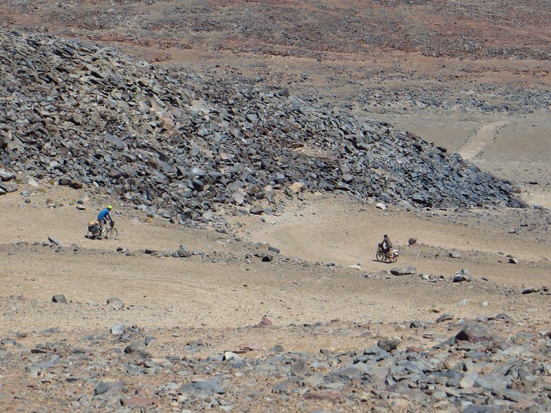
And as the road to Muerto is the same one as to Ojos, it’s in good condition. Ojos is a very popular climb from this side as (with a good vehicle and driver and excellent acclimatization) you can drive to a refugio at 5800m and climb the mountain in a day. A 6900m peak as a day walk with no need to camp! Mad. Approaching from the Argie side is a far quieter and longer endeavour.
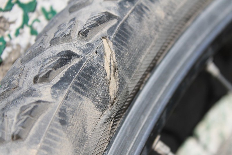
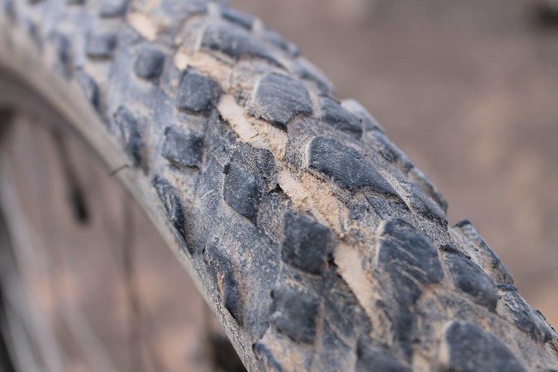
Schwalbe Extreme failure

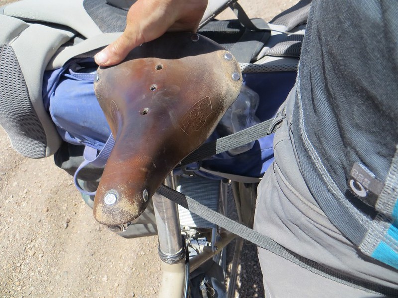
After a year of faithful service, our Schwalbe Extremes all begin to fail. In 10 days of riding two wear out and are unusable, and this, our spare gets a slash in its side wall. The other two are in bad shape too (but we’ll carry on using them for the next stage of our trip as they’re still better than anything we can buy in Fiambala or Tinogasta).
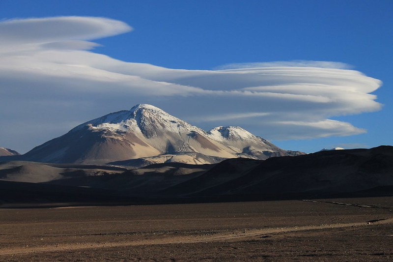
Lennies over El Muerto (6510m)

We soon arrive at Refugio Murray, a free and reasonably comfortable place to stay. Though it’s early, we decide to spend the night and socialize with the many Andinistas there to acclimatize for Ojos. The long discussion with experienced Chilean guides about what the clouds signify ends in the conclusion that the weather will change. But as it’s been ‘ok’ recently, no one knows if this means it’ll be for the better or worse.
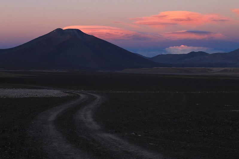
Looking back to Volcan Laguna Verde

For an hour at Refugio Murray that evening the clouds are more beautiful than any we’ve ever seen. Lennies over Muerto, huge cumulo nimbus over Mulas Muertas, these things over Volcan Laguna Verde.

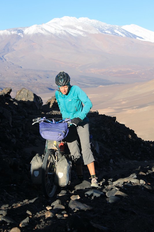
Cycling to El Muerto (6510m)

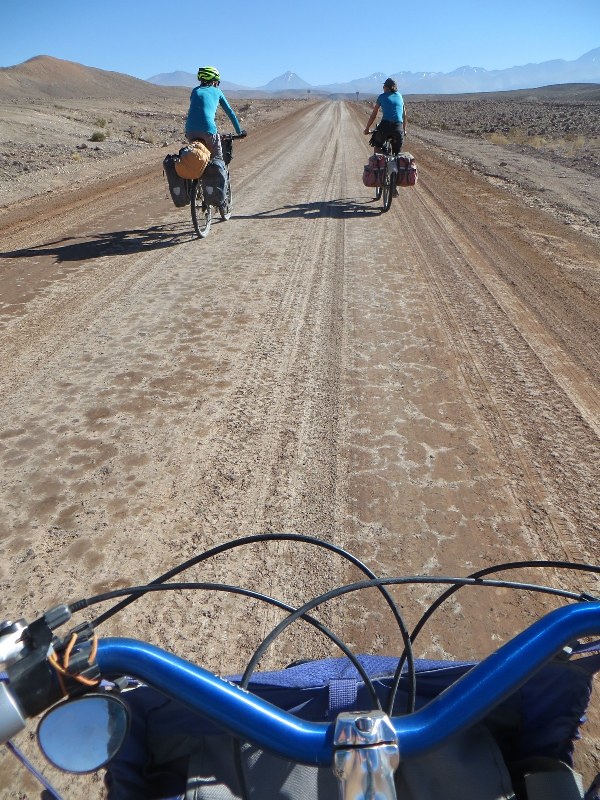
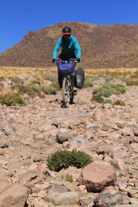
In the morning it’s an 18km cycle to the base of Muerto. The road isn’t too bad, and we have to push less than half a km.
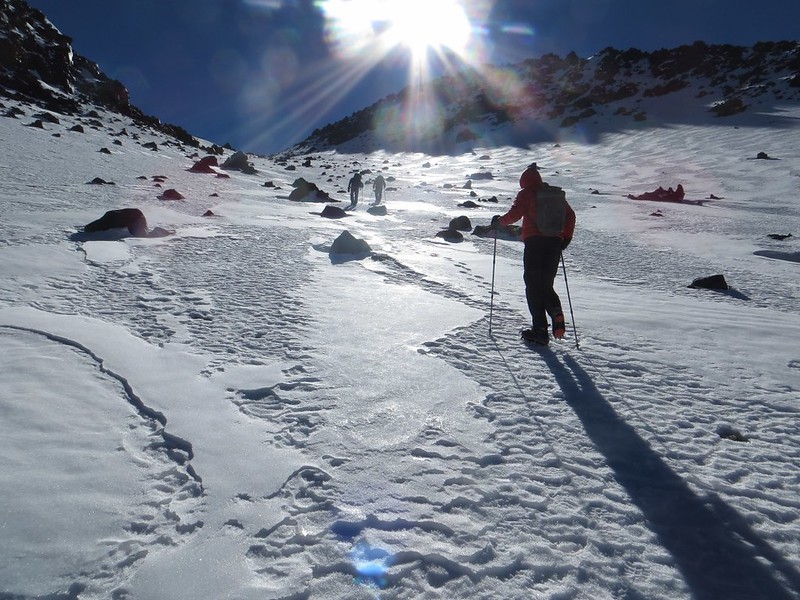
At 6000m on El Muerto - with some company for a change

Camp is relatively low at 5100m, so in the morning we set off at 05:30. We have company for a change – Fabio from Switzerland, and his Chilean guide Fernando.

Nearing the summit of El Muerto (6510m), in the wind

Near the top there’s a crisp breeze. But it’s a great climb.

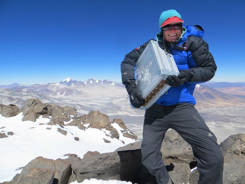
Bank robbery on El Muerto

And at 11:00 we’re in position to carry out that bank heist we’ve been planning…

Ojos del Salado, Walter Penck and Nacimiento, from the summit of El Muerto

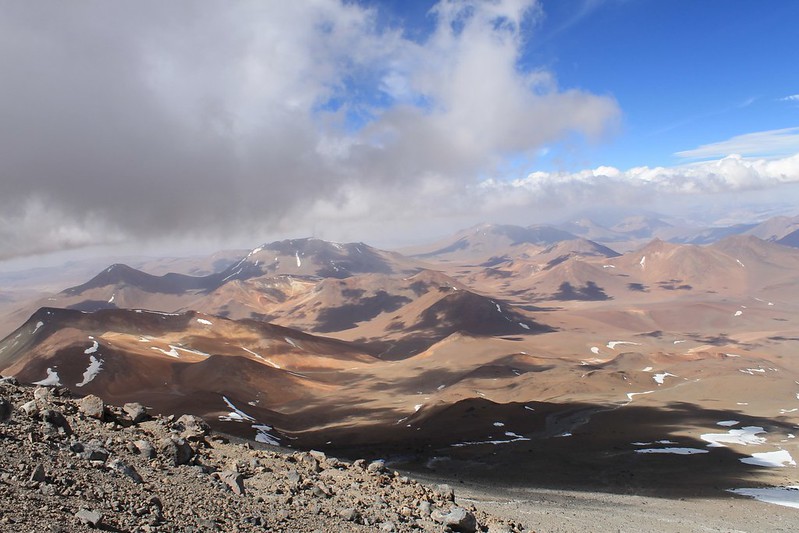
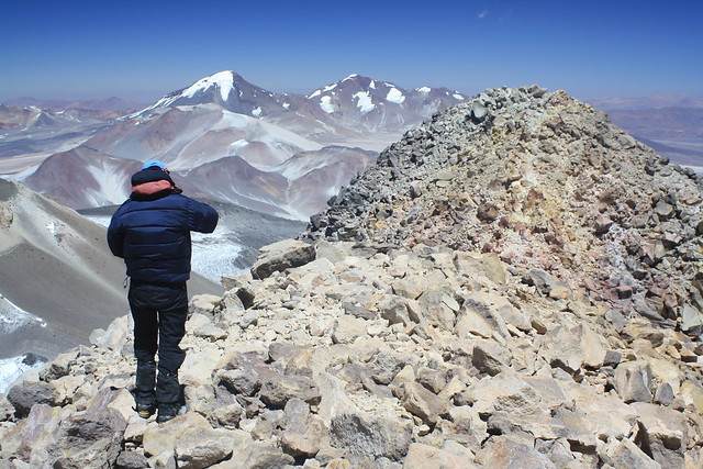
Here’s the view from the summit, looking south to Ojos, Walter Penck and Nacimiento.

Incahuasi, from the summit of El Muerto

…and east to Incahuasi.

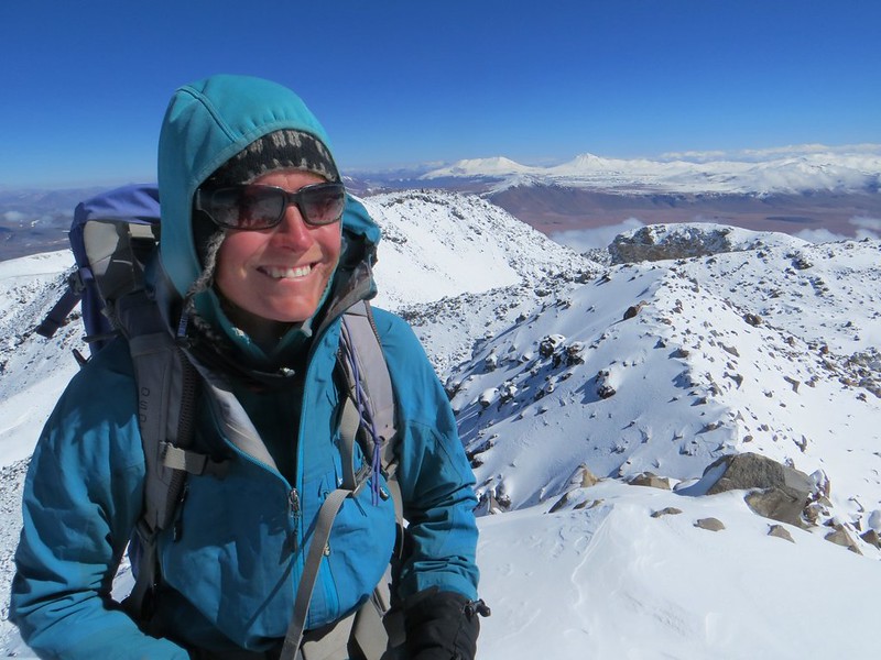
Pikes on the summit of El Muerto

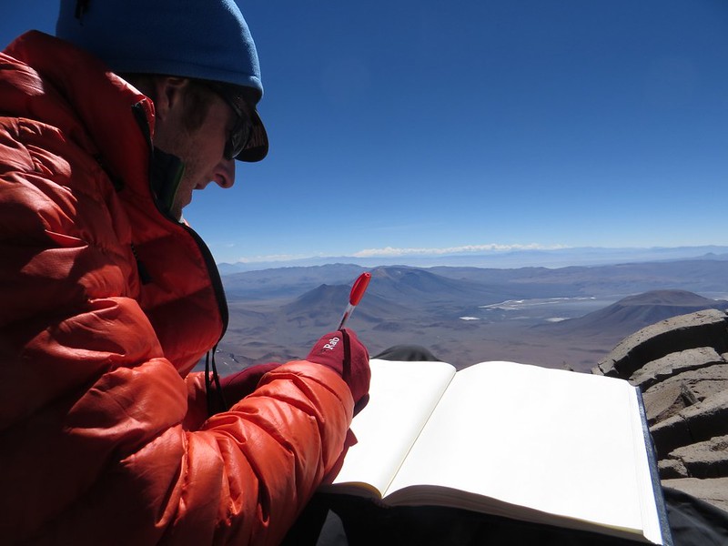
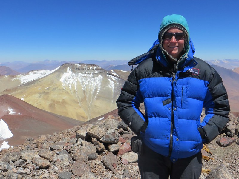
A rare shot of the both of us. Very useful having other people with us on the summit! Haz appears to have shrunk 10cm during the climb…
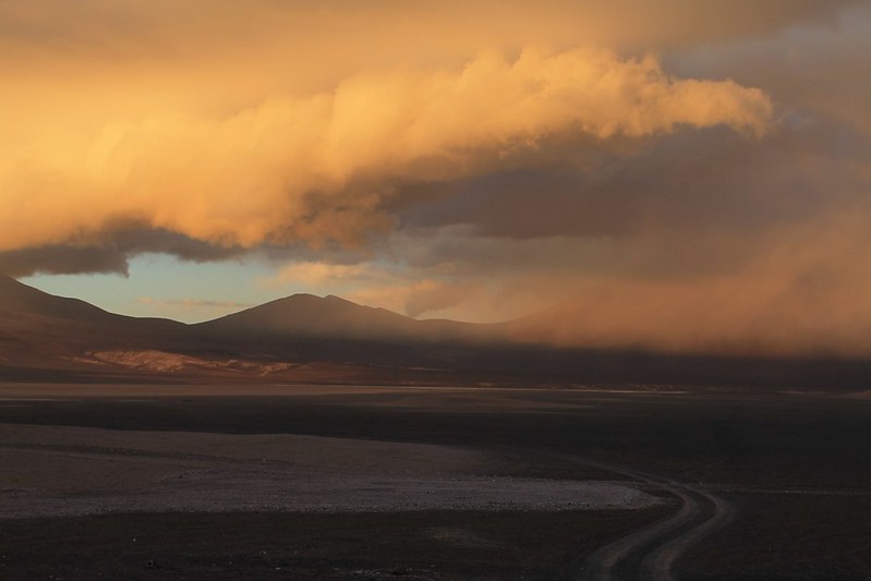
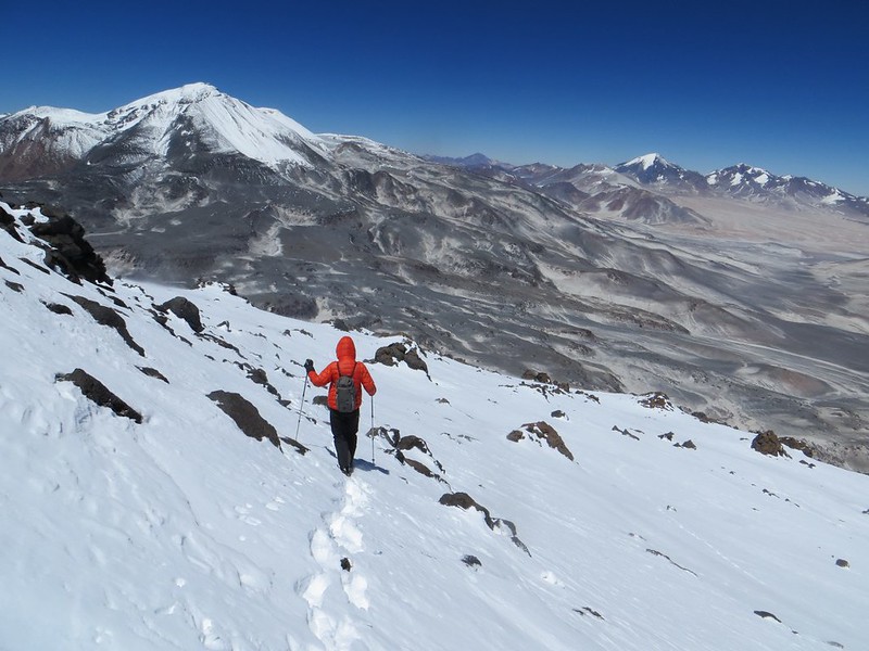
Descending from El Muerto

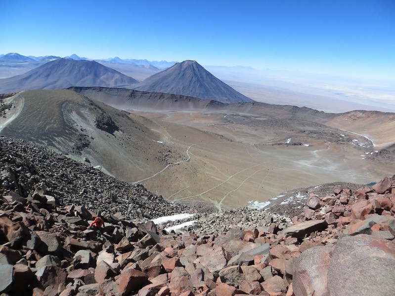
We descend to camp, admiring Ojos and Tres Cruces on the way.

A stormy Puna, from Refugio Murray

After reaching camp, the clear skies rapidly disappear. We pace the 18km back to Refugio Murray, pursued by storm clouds.
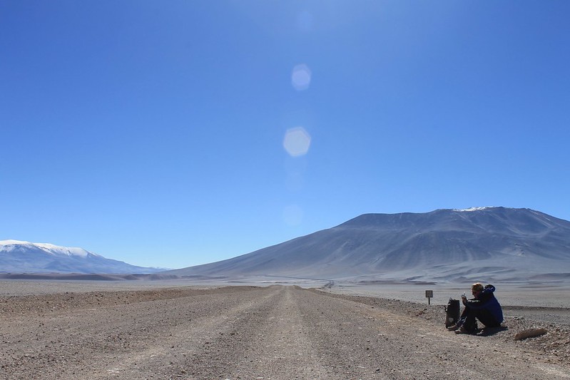
Hitching to immigration at Maricunga

But no lightning or snow ever reaches us, or the refugio. In the morning we head back to the main road and hang around waiting for a lift to Maricunga to get our Chilean exit stamps. It’s a pain in the arse for mountaineers coming in from Argentina that the Chileans put their passport stampers 100km from the border.
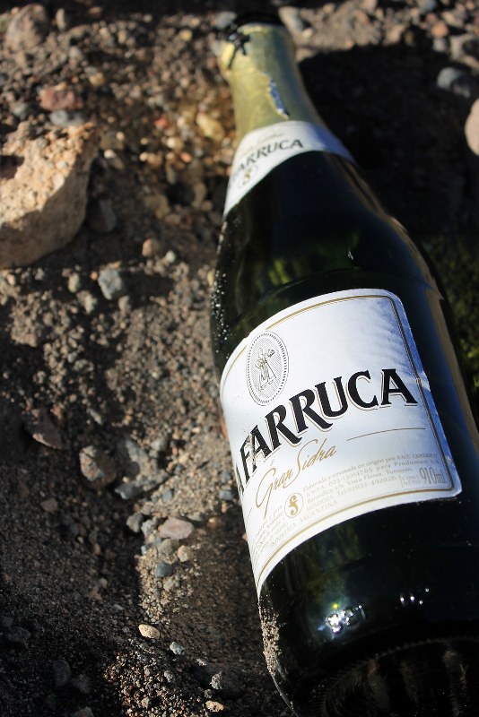
A celebratory bottle of cider

But we get lucky with lifts. A lovely family from Mendoza takes us west, and a Buenos Aires couple take us back east. (In our experience, the Argies are far more likely than Chileans to pick up hitch hikers.) Still, it takes most of the day and we only have time to cycle 2 hours before the wind and some light snow sees us set up early camp by the road. A bottle of cider warms us as Haz prepares dinner.
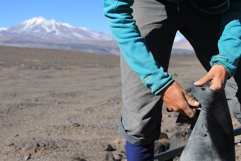
Cutting out a boot for another failing tyre

In the morning our tyre issues are alleviated when eagle-eyed Haz spots an old 4×4 inner tube by the road. Out come the Swiss Army knife scissors to cut us a load of patches to use as boots on the inside of all our tyres.

Descending to Fiambala

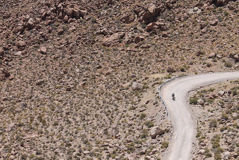
Some parts of the descent from Paso San Francisco to Fiambala are truly spectacular. First the zigzags down to Las Grutas, with views of Incahuasi, San Francisco and the lakes at their base. Then this section near Refugio 4 at Las Losas.
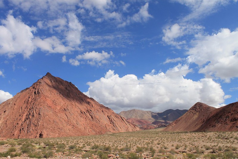
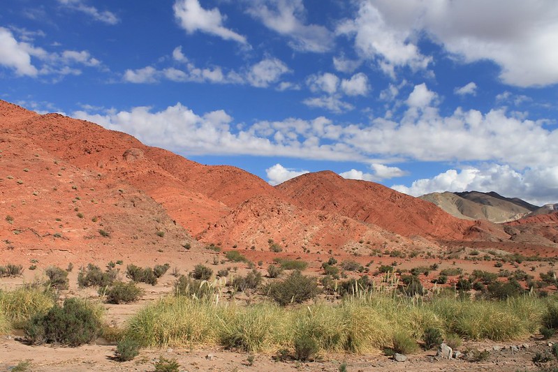
Quebrada Las Angosturas

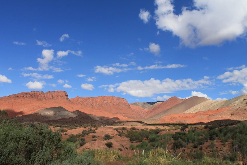
Then, far lower down, this colourful section in Quebrada Las Angosturas.

Quebrada Las Angosturas

Red red rock.

Quebrada Las Angosturas

And the road past all this magnificence is all tarmac. It’s a treat for us to fly down on it.

Quebrada Las Angosturas

The 2000m descent from Refugio 3, where we’ve spent the night, means we’re in Fiambala before the shops close for the siesta. Our average speed for the day is 25.1kph. Pike whips out his notebook to ensure this gets correctly recorded in the Max/Min section of our Stats page.
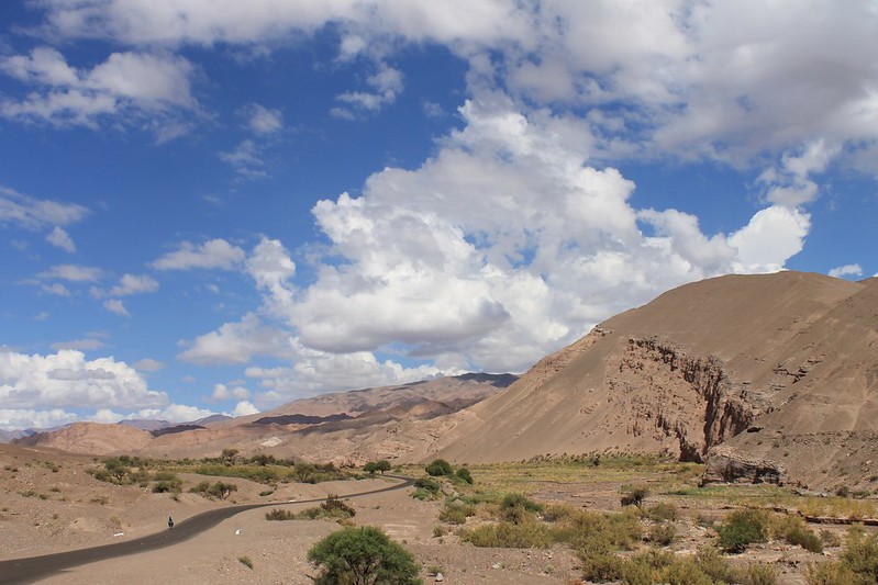
Nearing Fiambala

We reach town having gone 115km – our first 100km+ day since September 2012! It’s also only the 2nd day in that period that we’ve spent all on tarmac. Probably just a coincidence. Back in Fiambala it’s rest time for another week before we head out on the last part of our Puna 9 trip…

[flickr_set id="72157639879419604"]
Puna 9: Part 2 – El Condor

Our immediate problem in Antofagasta was finding Pesos. After a fruitless search we visited the cops, listened to a rant against La Presidenta (‘Hot Lips‘ as we like to call her) and then were led into one of those fortunate encounters which seem to occur in Argentina. The boss suggested we visit Anibal – ‘he’ll change your dollars’. He did, and more. An experienced mountain guide he was also a cyclist, and a mine of information about our route ahead. Where jeep drivers told us the way was fine, he’d put them right. ‘They’re on bikes! It’s all sand round there. They’ll be pushing for hours!’ Truths such as these make for far more useful mental preparation. He opened his home to us, we watched the Disney Channel with his kids. Then we resumed our journey.

As with the previous fortnight’s riding, it was wild and empty. Intoxicating, addictive. Our biggest challenges were a lack of water and an abundance of sand. The jeep tracks we pedalled and pushed existed, usually, though on occasion had clearly been forged, but not followed. It was tough, but fun.

Later than expected we were in position to dump our bikes and wander to Condor. Though the 23rd highest peak in the Andes (officially it’s 6410m, though we think probably a bit higher) this peak has been virtually ignored by andinistas, due to the trickiness of the short approach from Paso San Francisco, and the fact that old surveys mark it as being far lower than its true height.  As late as 1996 it was still apparently unclimbed, and ours was maybe the eighth ascent, possibly the fifth.

On day 8 our average speed suddenly spiralled upwards as we reached the paving and zoomed down to the Argentine immigration post at Las Grutas. A cheery buenas tardes to the policemen there didn’t roll off the tongue as fluently as usual, but then it had been a while since our last non-inter-Pike interaction, bidding farewell to Anibal as we cycled out of his front gate all those days ago…

IMG_3669_1067x800

Anibal and Pike looking a bit bleary eyed as we leave Antofagasta early to beat the usual afternoon winds. This guy didn’t take long to enter our ‘Argentinian Legends’ list. Right up there alongside Don Jonson (Reynoso) and Javier Zanetti.

IMG_3370_1200x800

We’re soon back out into La Nada, leaving the metropolis of Antofagasta far behind…

IMG_3380_533x800

On Day 1 the going is nice and easy. Particularly on these hard packed barreales (mud flats).


IMG_3385_1200x800

Which lead us south, then west, in the direction of the Salar de Antofalla.

IMG_3700_600x800

We knew that water, along with a sandy surface, would be our biggest problem on this route, but had been assured by a number of jeep drivers who knew the way well that we’d find a few meadows with drinkable agua in the first couple of days. At the end of Day 1, we manage to find a stinking, filthy puddle hidden among this greenery, and stock up with 15 litres each. It’s a good decision – the only non-salty water we find on the whole route, and enough to sustain us until the penitente fields on El Condor, still 3 days away.

IMG_3713_1067x800

From Antofagasta it’s a 1000m climb to a 4400m pass, after which comes this lovely descent to the Salar de Ratones.

IMG_3395_1200x800

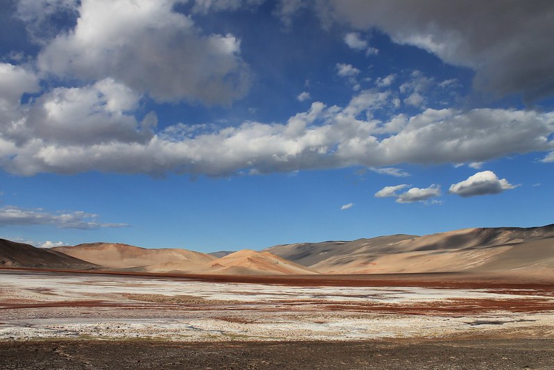
We don’t see any mice in the area. Just lots of dreamy Puna colours.

IMG_3724_600x800

From Ratones, we decide it’s best to take some really small tracks which we think from GE show a direct route to the south side of the Salar de Antofalla. The ‘main’ way hits this 200km-long, but very slender salar further north and would mean many more kilometers. We’re not surprised when our smaller route throws up a few pushes.

IMG_3739_1067x800

But the descent is something of a surprise. 750m in just over 6km. The steepest bits are at over 40% and it takes both of us holding onto a bike to get them down safely, one at a time.

IMG_3752_1067x800

The hillside is so steep that it’s not always clear which way the jeep drivers have actually managed to get their 4x4s down. The odd recce is needed to see how to proceed.

IMG_3403_1200x800

Before leaving Antofagasta we have a look at the forecast for the week ahead. After a beautiful, cloudless and stormless December to date, things seem set to change, with a predicted week of storms and snow. We can well believe it as we continue descending to the salar – things look gloomy to the south with dark clouds hovering over Peinado, and obscuring El Condor.

IMG_3411_1280x853

We continue sliding downhill on loose tracks…

IMG_3430_1200x800

…then hit the salar. Here all signs of 4x4s disappear (‘So that’s why we couldn’t see anything on the satellite images’) and there’s a few kms of cross country to get to the southern end, from where we know a route heads up towards Laguna Peinado.

IMG_3429_1200x800

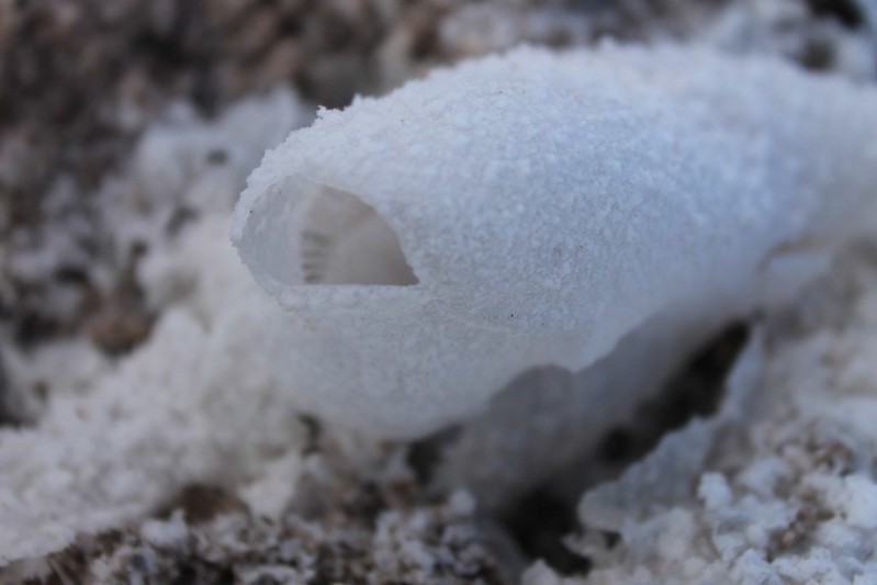
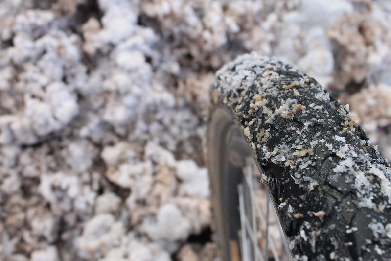
The slushy salt didn’t do our bikes much good, but there were loads of these cool ‘salt bubbles’ around.

IMG_3443_1200x800

After a while we leave the salar, deciding it’s better to follow the vicuña tracks on the hillsides near its edge.

IMG_3448_1200x800

From these we’re able to make much faster progress.

IMG_3454_1200x800

Particularly when they morph back into rideable jeep tracks again.

IMG_3457_1200x800

A long day ends with a camp near the salar and in the morning the west side of the salt flat is ablaze with sun. But it’s only fleeting, and the moody clouds soon regain control.

IMG_3476_1200x800

As we pack up camp we realize Pike’s rear tyre has a slight problem. Good job we’re carrying a spare, for a change. We wondered whether the salt the day before was the catalyst for the split. Any ideas anyone?

IMG_3478_1200x800

Cycling round the southern end of the Salar de Antofalla is a memorable experience.

IMG_3485_1200x800

After all, it’s not every day you get to pedal through a lava flow.

IMG_3784_1067x800

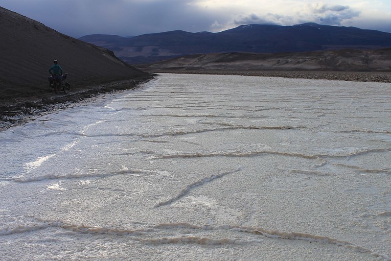
And past lakes and salt such as this.

IMG_3794_1067x800

From the salar, a decent track heads south, directly at the perfect cone of Volcan Peinado.

IMG_3538_533x800

We enjoy the smooth ride while we can…

IMG_3542_1200x800

…as we’ve been told that there’s a bad section before Laguna Peinado, which takes a few hours to plough through.

IMG_3560_1200x800

But round the lake’s shores we’re riding again. Aah, that was a happy hour…

IMG_3580_1200x800

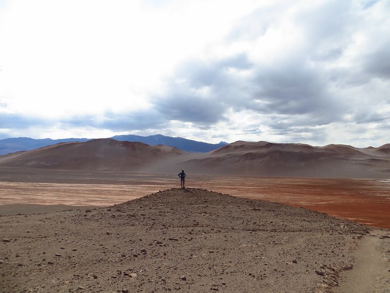
What a privilege to be able to travel through such unspoilt beauty as this.

IMG_3813_1067x800

Look at that lovely hard surface!

IMG_3808_1067x800

And those weird Andean rock formations to the west.

IMG_3817_1067x800

As night falls we’re pushing again. The exhausting hour to camp up a steep, sandy slope (not this bit) sees us almost too tired to bother putting up our tent.

IMG_3618_1200x800

But the body’s powers of recovery impress us as always. In the morning, after a couple of hearty meals, we’re feeling good again. Which is lucky, as the next section is the one all the jeep drivers have been warning us about. ‘You’ll be ok to start with…’

IMG_3627_1200x800

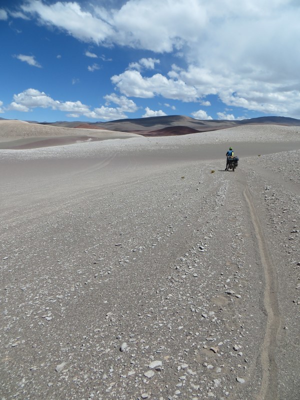
‘…then it all goes a bit blando (soft).’

IMG_3632_533x800

They

IMG_3839_1067x800

woz

IMG_3841_1067x800

not

IMG_3845_1067x800

wrong.

IMG_3858_600x800

By 17:00 we’ve made it a whopping 16km.

IMG_3637_1200x800

But that’s ok. It’s far enough to reach the western flanks of Volcan Peinado, where we dump our bikes. El Condor (out of sight to the right) lies beyond a 400m deep hollow in which languishes Laguna Amarga (Bitter Lake), and Anibal has told us there’s no point taking the bikes down there and closer to the mountain. The push out would be soul destroying. Most jeeps that descend into the hollow are unable to climb back out the same way, and so face a detour to the north of around 200km to get out and back to this point!

IMG_3644_1200x800

We camp just west of Laguna Amarga, and the following day is the 25th. Here’s Haz carving up the Christmas dinner. ‘Twas delicious, though the roasties didn’t turn out as well as usual.

IMG_3877_1067x800

From 25km away we took a zoomed in photo of El Condor and then just head for the lowest patch of snow we can see. This turns out to be at 5400m, and we arrive there and make our high camp at 15:00.

IMG_3655_1200x800

On the way are a rich variety of lava colours. Pike pockets a mammoth collection (on the way down).

IMG_3883_1067x800

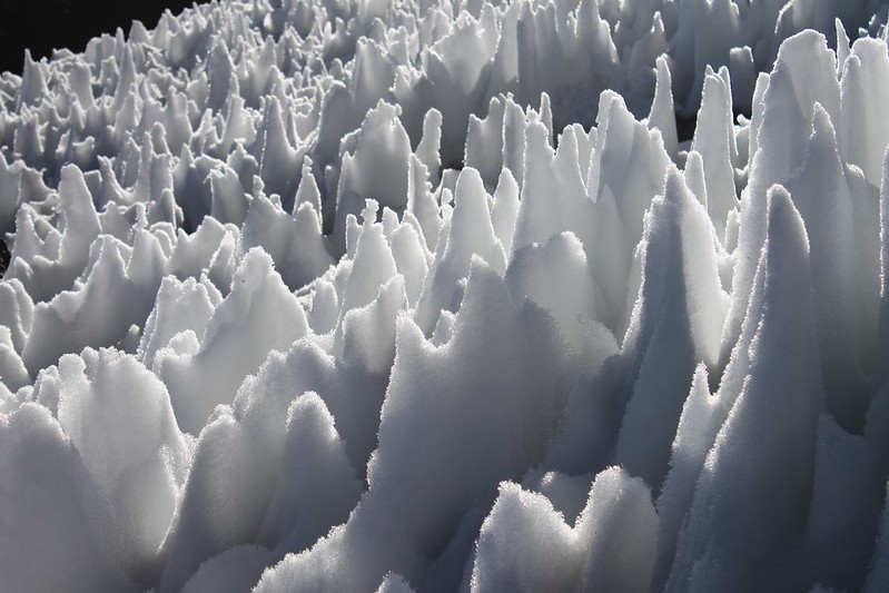
The penitente field turns out to be somewhat irrelevant. At 15:01 the hail and thunder begins and soon all is white. In the morning there’s snow settled all the way down to 4400m. The lightning abates after a few hours and Pike heads out for penitentes – it’s still quicker to melt this hard snow, than any of the fresh stuff that’s fallen (we think).

IMG_3668_533x800

The respite is a brief one, as the hail storm is replaced by snow rolling in. It continues well into the night.


IMG_3888_1067x800

Which makes sunrise a good one. Here’s the usually dark Volcan Peinado looking a bit whiter than usual.

IMG_3897_1067x800

As it’s clear-ish at 07:00, we set off, but by the time we get to this boulder field at 5900m, the weather is looking threatening again. We can think of few things we’d less like to do that be on a high mountain ridge in the Puna when an electrical storm explodes, so decide it’s best to descend back to camp, to try again another day.

IMG_3899_1067x800

As we retreat, the sun comes out for a few hours. Not till the early afternoon does the thunder arrive again.

IMG_3919_600x800

In the morning all is rosy (as it normally is on the Puna) and the way forward is obvious.

IMG_3926_1067x800

Despite the soft, fresh snow it’s easy going.

IMG_3930_1067x800

And we’re on the summit crater rim before 10:00.

IMG_3941_1067x800

Which means smiles all round. We never work out which is the highest point on the crater, so walk all the high points just to be sure. Then comes a marathon 25km walk back to the bikes. We reach them at 19:00.

IMG_3677_533x800

The following day is the last, and turns out easier than expected. A few short rocky pushes…

IMG_3684_1200x800

Past Laguna Amarga and El Condor…

IMG_3694_1200x800

…then we’re up and over a 4900m pass, and descending to the paving near Paso San Francisco. Volcan San Francisco dominates the road – at 6030m this easily accessible peak is one of the easiest 6000ers in the world.

IMG_3708_1067x1600

By early afternoon we’re at Las Grutas, the Argie immigration post, and our first human interaction since leaving Antofagasta 8 days ago. As we’re continuing our journey by bike over to Chile after a rest in Fiambala, we hitch down to this wonderful little town. It takes less than half an hour to get a lift (which beats our previous record on this road – took us nearly 24 hours to get a ride the only other time we’ve tried hitching!). Back in civilization it’s not long before we raid the local wine cellars…then reflect on one of the toughest, most beautiful, most rewarding routes we’ve ever ridden. Though ridden is probably the wrong term. Of the 26 hours our cycle computer says we were moving to complete the 190km from Antofagasta to Las Grutas, we’re pretty sure more than half of them were spent pushing through sand!


[flickr_set id="72157639323776565"]
Puna 9: Part 1 – Llullaillaco and Antofalla

For remoteness, San Pedro to Antofagasta easily trumped anything we’d previously pedalled. Leaving the Argie border guards at Paso Socompa we each stocked up with 17 litres of mineral water, then turned south for Llullaillaco. Still with 14 days of food aboard, for the first time ever our steeds weighed in heavier than us.

This provisioning proved necessary; the roads and jeep tracks our GPS led us down were as wonderfully beautiful and deserted as anticipated. More so, in fact. No chance encounters with miners handing out fresh fruit. No 4×4 tourist expeditions eager to assist with snacks and drinks. We saw not a soul for eight days. In this time we dragged our bikes to the foot of mighty Llullaillaco, dominant peak of the northern Puna, summitted, then continued southeast, crossing salar after salar. The tracks were tricky, rarely used, often sandy. Herds of vicuñas, covering vast distances each day between water sources, were our only company.

This remoteness was liberating. Usually we thought it thrilling; occasionally daunting. With no phones, or tracking device, if anything were to go amiss it would be a long old traipse for assistance.

A brief reentrance into the grand sphere of humanity came in the most unlikely of places – we espied a pickup truck parked at Volcan Antofalla high camp at 5350m. Soon joined by its four occupants, we chatted a few minutes as they packed up camp. They’d just made the 10th ascent of the volcano in the past decade. The following day we made the 11th.

Mountains climbed, all that was left was to reach Antofagasta. A swim through sand to Caballo Muerto was followed by descent to sad little Antofalla. Only tourism or mining can save this dying village. The young are leaving, and who can blame them? There’s a whole world out there. And here? No hay nada.

16 days out of San Pedro we rolled into Antofagasta’s eerily quiet plaza. Chuffed, but tired, a much needed three day weight-gain programme was soon initiated.

IMG_2618_1200x800

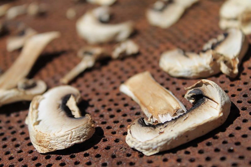
Drying ‘shrooms in the hot San Pedro sun. They were ready in a couple of hours, as were the carrots.

IMG_2628_1200x800

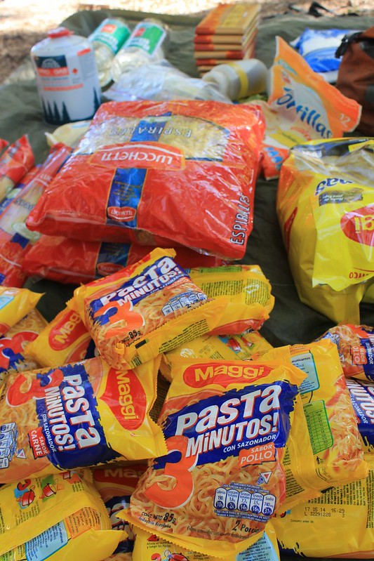
Some of our food for the 17 days we were expecting to take to reach the next shop in Antofagasta. It weighed in at just under 29kg (between us).

IMG_2674_1067x1600

The first 100km out of San Pedro were as easy as they come – flat and paved. Then we left Peine, the last Chilean village, and the surface deteriorated as the temperatures soared. Though we left Peine with 10 litres of water each, which we expectedto last 2.5 days to the border, we soon realize this is nowhere near enough. In the heat of the day, Neil’s cycle computer registers 49C (we know this ‘has no scientific meaning’, but include it partly as an interesting fact-let, but mostly just to annoy Neil’s dad). Finding this concrete structure with some leaky pipes was therefore quite exciting.

IMG_2710_2400x1600_1200x800

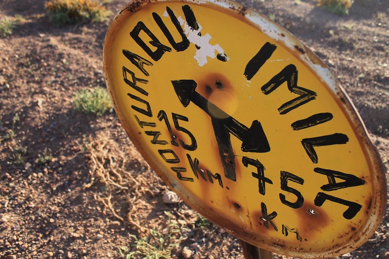
The roadsigns on this route were of the 1960 and 1970 variety – almost all to abandoned stations on the old international railway line. This was one of the most charming – we camped by it on our third day.

IMG_2751_533x800

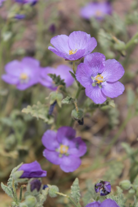
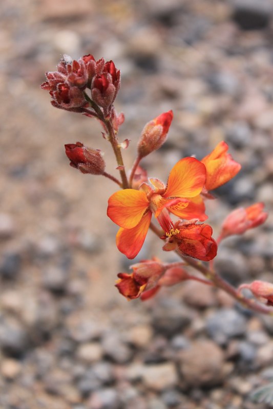
Between San Pedro and the border the landscape was pure desert – arid, brown and dull. There were still a few colourful flowers around however. Like these beauties….

IMG_2758_533x800

…and these.

IMG_3240_1067x800

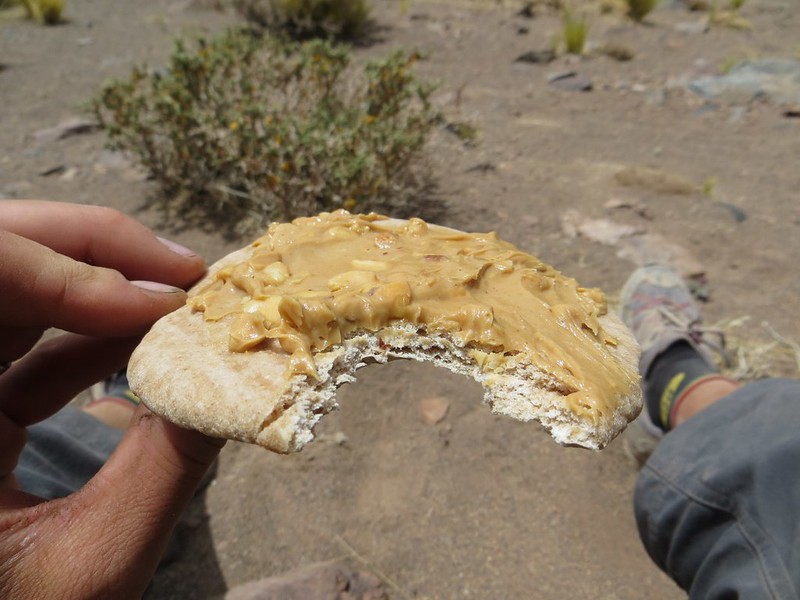
Our first few lunches were real treats. Pittas covered in a thick coating of peanut butter.

IMG_2777_1200x800

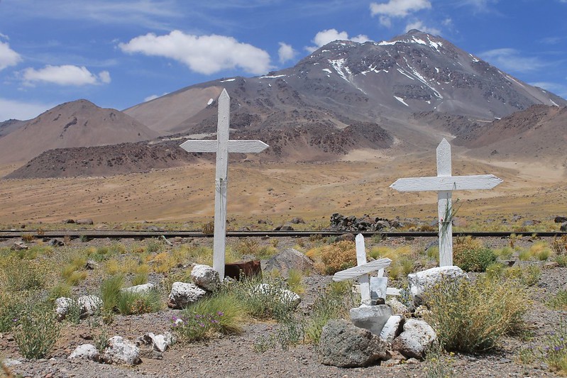
Until we reached Paso Socompa we didn’t know whether the Carabineros there would actually allow us to cross. Though we’d already obtained our Chile exit stamps in San Pedro (the immigration guys there had just assumed we were leaving via Paso Sico), we’d been told by some officials that the Argies might not let us in. We needn’t have worried. This is the small graveyard at Socompa, with the volcano of the same name behind.

IMG_2783_1200x800

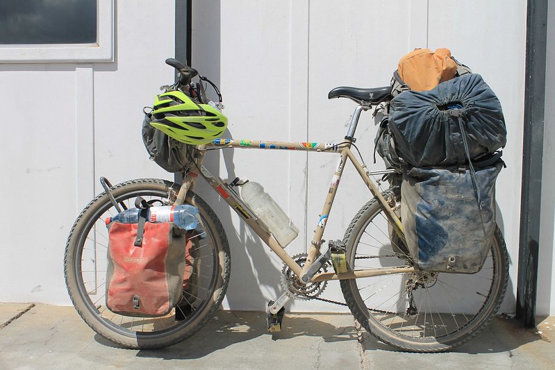
The heaviest Pike’s bike has ever been. 17 litres of water, 14 days (11kg) of food, 10kg of trekking kit. All added up to 65-70kg, including the bici. And some people always tour with bikes this heavy? Ugh.

IMG_2828_1200x800

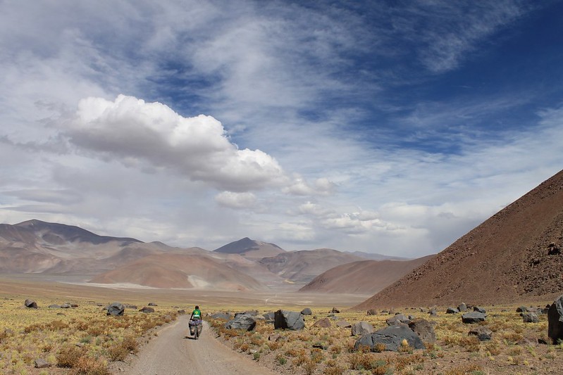
The scenery on the Chilean side was so dull that we began questioning whether we would still likethe Puna in Argentina. We need not have feared. From the moment our descent from the border began, we were back in love…

IMG_3266_1067x800

Though maybe not with this short sandy section near Laguna Socompa.

IMG_2854_1200x800

The fourth night saw us camp at the turn off onto the road to Llullaillaco. At dusk the aliens arrive.

IMG_2872_1200x800

But as the track looks like it hasn’t been used by a vehicle in the past decade at least we don’t have to push off the road to find a flat camp spot.

IMG_2889_1200x800

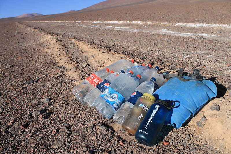
Our water reserves on the way to Llullaillaco. The next source proved to be penitentes at 5100m, just above our base camp on the mountain.

IMG_2921_1200x800

Dry the Atacama may be, but there is a bit of rainfall on the Argie side. Enough for these delicate little plants to thrive.

IMG_2925_1200x800

The tracks to Llullaillaco turn out to be better than expected, and almost all rideable until the afternoon wind picks up. Then we begin getting tired…

IMG_2935_1200x800

But the views revive us. Love the colours in this part of the world. The Salina de Llullaillaco is the low, flat white thing on the right.

IMG_2949_1200x800

Our camp behind the shelter of a rock is a good one. Llullaillaco dominates the site, and the whole area – there’s no higher peak between Ojos a few hundred kms to the south, and Huascaran up in Peru.


IMG_2991_1200x800

In the morning it’s only 8km to the point we’ve chosen to leave the bikes. It was a lovely 2 hour ride.

IMG_3007_1200x800

An hour long repack at 4600m sees us ready to head to the peak on foot. It’s less than 2 hours of walking until we reach the lowest convenient penitentes – they’re the ones in the red little patch in a line directly below the summit.

IMG_3020_1200x800

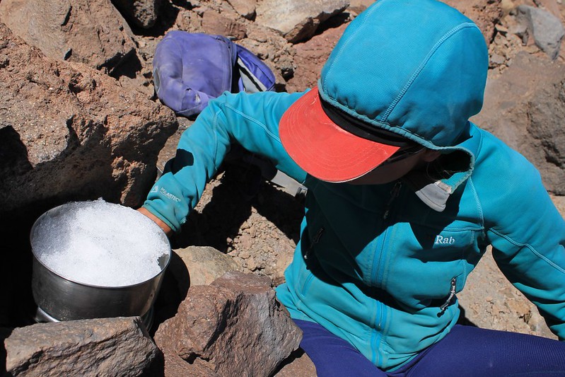
Seeing as it’s been a while since we melted penitentes, we’d forgotten how long it takes. 18 litres and 3 hours later we’ve finally got what we think is enough for the evening, and then to take down the mountain with us to continue the cycle to Mina La Casualidad.

IMG_3031_1200x800

While Haz melts the snow, Pike’s in charge of knocking over the penitentes and bringing them to the pot…

IMG_3042_1200x800

In the morning, there’s some wind up top, but otherwise the weather is perfect. We head up to the right (then climb up the NE gulley, which is between the two rocky ribs on the right, near the top of the mountain).

IMG_3046_1200x800

By lunch we’ve found a good, sheltered high camp. At 5930m it’s the highest we’ve ever slept. As we’re so well acclimatized, we both sleep superbly.

IMG_3060_1200x800

We spend the afternoon wandering, trying to work out which is the best way up in the morning. Few people climb the peak, but we do find a set of footprints which prove quite helpful.

IMG_3326_1067x800

As has become our custom on the Puna, we don’t bother leaving too early in the morning. Though it’s only -11C at dawn, we don’t set off until 07:15, about half an hour after the sun hits our tent. Here we are in that gulley.

IMG_3331_1067x800

The going is mostly on reasonably steep scree, to about 6500m where we reach some Inca ruins, and a path coming from the north, which is the usual route up the mountain. From here it’s gentle and easy to 6730m, and some more Inca ruins. As far as we know, this is the highest archaelogical site in the world. The last 20m (in the photo) to the summit are a bit rocky, but we’re on the top by 10:45.

IMG_3350_1067x800

On the summit it’s windless, sunny and beautiful. Pike sits down and begins penning a novel.

IMG_3357_1067x800

Then we descend, past the Inca ruins. High on the mountain are many stray bits of wood, which once formed the roofs for these buildings. Though the wood is over 500 years old, we could easily have been persuaded it had been taken up there only the week before.

IMG_3082_1200x800

We make it back to the bikes on summit day, then continue in the morning. Our GE investigations hadn’t thrown up a jeep track from the base of the peak for about 5km in the direction of the Salina de Llullaillaco, but luckily one exists and the surface is ok.

IMG_3401_1067x800

Which makes the descent to the Salina a beautiful little ride.

IMG_3099_1200x800

Though it doesn’t look far when we set off in the morning, the Salina is below 3800m, an 850m descent – far further than we’d been expecting.

IMG_3109_1200x800

The track by the Salina is a good one.

IMG_3130_1200x800

And the scenery is spectacular. Some flamingoes wade around in the Salina’s lakes.

IMG_3133_1200x800

What do the clouds mean? Who knows. We have real trouble reading the weather round here.

IMG_3425_1067x800

The surface remains pretty good as we climb above the Salina and over towards Mina La Casualidad. A few short steep section see us pushing, because of our heavy bikes.

IMG_3159_1200x800

Each day we cycle until the sun goes down, or we’re too tired to continue. To our surprise the daily schedule turns out to be almost exactly the same as the 17 day plan we drew up in San Pedro. The only difference being that the 60km road from Llullaillaco to Mina La Casualidad is far better than expected and we reach the abandoned mine in a day, rather than the 2 we’d envisaged.

IMG_3454_1067x800

Arriving at the mine/town the wind is howling, for the only time all trip. Most of the buildings at La Casualidad have fallen in and no longer have roofs, but the church is still structurally sound. We roll out our Thermarests and spend a comfortable night by the altar.


IMG_3180_1200x800

Six days after leaving the border guards and we nearly have a human encounter at the mine on Salar de Rio Grande. But though we come across some portacabins, which are lived in, all the miners are at work on the other side of the Salar. Fortunately they’ve left their dining room door open and we’re able to fill our water bottles from their water dispenser, leave a thank you note, then continue.

IMG_3465_1067x800

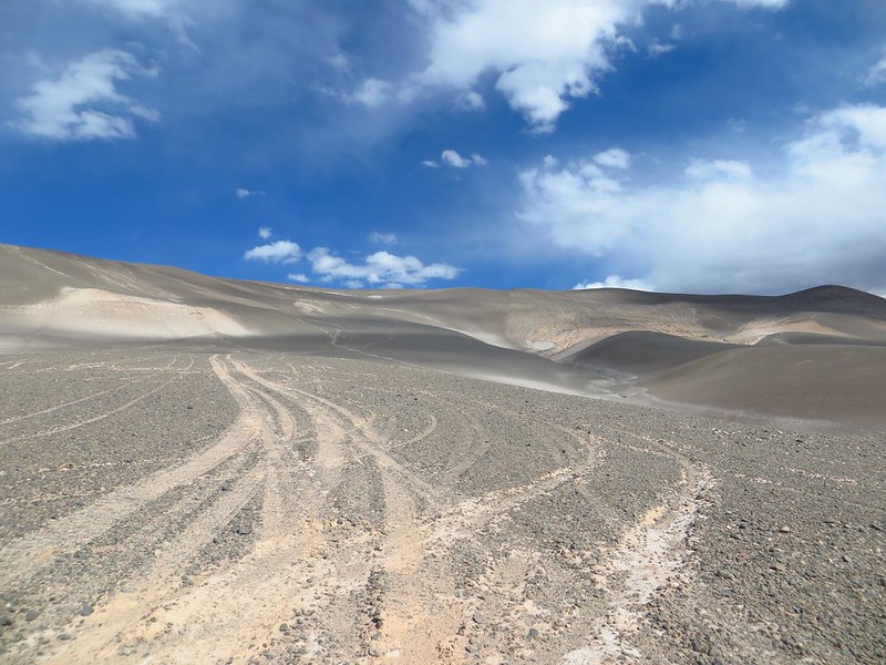
The road’s ok for a while, then deteriorates. Sometimes off road is better, sometimes not. We flick between one and the other.

IMG_3207_1200x800

And then the road sort of disappears, and we’re left with this exciting choice.

IMG_3208_1200x800

Do we go up the ‘down track’, which shoots directly down the mountain at 30-40%? Or do we take the more circuitous ‘up track’, which takes a more leisurely 15-25% gradient? We have plenty of time to ponder this on the 5km push to get to the base of the hill.

IMG_3210_533x800

We opt to push up the ‘up track’. It takes all afternoon.

IMG_3213_533x800

Through the gravelly sand.

IMG_3490_1067x800

To begin with we’re able to take a bike each.

IMG_3220_1200x800

But on the really steep parts it’s 2 people to each Surly. First we push up Haz’s, then go back for Pike’s. Llullaillaco (over 2 days away by bike) still dominates in the distance.

IMG_3529_600x800

After an afternoon and then a few morning hours of pushing, we’re riding again, and descending to the Salar de Archibarca.

IMG_3222_1200x800

A mini Laguna Colorada lights up this small salar.

IMG_3230_533x800

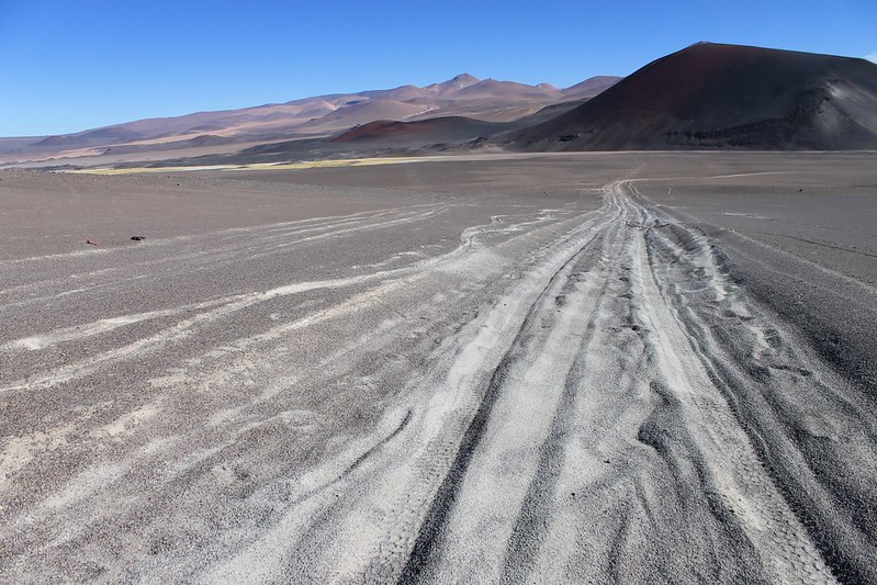
In these parts, vicuñas are our only company. So few people do they see, that some of them are even relatively tame and come and inspect our tent one morning. They’re creatures of habit, and we often come across tracks like these.

IMG_3237_1200x800

At the Salar de Archibarca is a water source, but we never find it. This water is too salty and dirty to drink. We’ve still got some litres left however, and know we’ll be able to melt more penitentes on Volcan Antofalla, where we’re headed next (it’s the lump on the left of the shot).

IMG_3247_1200x800

The road to it begins promisingly enough, but it doesn’t last long.

IMG_3250_533x800

By early afternoon we’re too tired to continue, and set up camp further than we’d hoped from the peak. This is at about 4450m, and still 14km in a straight line from the summit.

IMG_3266_1200x800

The following day comes that unlikely meeting with some other humans. From 5km away we spy something shiny, but it’s flickering and we decide it must be some kind of fabric left behind by previous hikers. But no, it’s a 4×4 parked at 5350m, and the heat haze is making it shimmer. After setting up our high camp, it’s hours before the occupants of the 4×4 and tents return. They’re locals from Antofagasta, and have climbed the mountain without any acclimatization (other than from living at 3400m). They’ve taken an age over it – more than 10 hours to get up to the summit and back, and when they return look absolutely shattered.

IMG_3556_1067x800

The weather remains perfect and we’re on the top before 11:00 the next morning. It’s a fantastic spot, with some more Inca ruins, and superb panoramas in all directions. Llullaillaco is to the NW, and our next target, El Condor, is just visible to the S.

IMG_3565_600x800

Descent down scree to the tents is a rapid affair. 1030m (vertical) in 55 minutes. Zooooooooooom.

IMG_3271_533x800

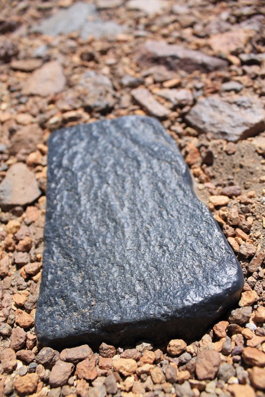
The rocks in this area are mesmerizing. Had we been leaving in a 4×4, rather than on bikes, we’d probably have taken about 5kg of these black volcanic beauties each.

IMG_3276_1200x800

Descending the 10km back to the Salar de Archibarca makes us realize why we’d been so tired climbing up in the opposite direction.

IMG_3283_533x800

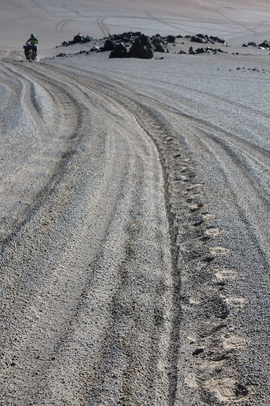
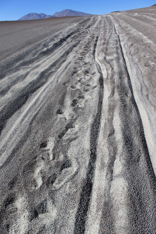
Most of the descent (right hand track) we’re able to ride. The footprints give away the fact that much of the climb we were pushing…

IMG_3285_1200x800

Then comes another climb above the Salar de Archibarca. It isn’t long, but it’s a bitch. The first part is rideable….


IMG_3586_1067x800

…but then it becomes so sandy that we’re forced to improvise harnesses. These webbing straps really are very useful.

IMG_3292_1200x800

The scenery continues to amaze.

IMG_3295_1200x800

But it’s difficult to appreciate, when you’re pushing down hill.

IMG_3596_1067x800

When we’re riding though…..WAAAAAH!

IMG_3303_1200x800

Nearing Caballo Muerto (Dead Horse).

IMG_3307_1200x800

Then we reach a larger road, the motorway from Antofalla village to Tolar Grande. The surface improves, we can ride it all again. The colours are fabulous (we promise we haven’t touched up any of these shots on the computer).

IMG_3330_1200x800

But Antofalla village is a sad, dying little place – the likes of which you come across all the time in Bolivia, but rarely see in Argentina. We see our second car in 11 days. It’s sportier that the usual 4x4s you see in this area.

IMG_3333_1200x800

Until the late 1980s, when the ‘road’ from Antofagasta was completed, Antofalla was cut off from the rest of the world. In those days the residents stayed, but now the young know what they’re missing…

IMG_3631_1067x800

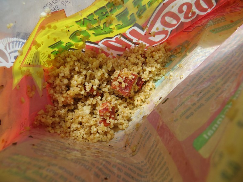
The climb from the Salar de Antofalla over towards Antofagasta begins steeply. It’s not long before we stop for an early bulghur wheat lunch. And for Haz to fix her rear derailleur which was bent in a fall on day 3 (Pike: (having not seen an animal in 2 days) Ooh look, a fox!; Haz: Where? (Looks left, falls off bike in the sand)). For 10 days her lowest gear wouldn’t work, and we didn’t want to risk bending the derailleur in the middle of nowhere, in case it snapped. But some careful pressure bends it back into position and 1:1 begins working again, sort of.

IMG_3640_1067x800

By this time we’re itching to get to Antofagasta and some food. Though we’ve eaten well for 15 days, we haven’t eaten nearly enough. Pike is heard to mutter that he’s ‘slowly starving’ on a number of occasions. (On reaching Fiambala a few weeks later, the pharmacy scales prove he was only slightly exaggerating.)

IMG_3341_1200x800

Climbing above the Salar de Antofagasta is thrilling, but we’re too tired to make the 1300m up to the pass before nightfall. When it begins raining (I mean, on the Puna, really) we set up camp.

IMG_3350_1200x800

Only just more ‘by the road’ than ‘in the road’. In the morning a confused motorcyclist looks quizzically at the tent as he bumps by.

IMG_3650_1067x800

Why did the vicuña cross the road? We really would love to know why these beasts insist on running across in front of any vehicle or cyclist that passes. Is it a game? Is it a dare? If anyone knows the reason, please let us know – it’s something that really puzzles us.

IMG_3660_1067x800

The food that survived. On Day 16 we made it to Antofagasta, and this is all that was left of the original 29kg. We were both ravenous, so went out in search of cake and ice cream. Neither of which could be found….

[flickr_set id="72157639251185463"]
 

Puna 9: The Plan

In short: cycling to, then climbing, nine 6400m+ peaks on the Puna.

We fell in love with this area back in 2010, during our first biking visit to NW Argentina. Remote gravel tracks winding between giant volcanoes. Not a being or vehicle in sight. Initially though, we stuck to the principal routes, leaving civilization for only a handful of days at a time.

Then later that trip we ran into Corax; a meeting that changed our whole outlook on cycle touring. He was considering cycling to Antofagasta de la Sierra, which seemed (to us at the time) a mission in itself. He also talked of continuing 150km further into the wilderness to Antofalla volcano, one of the most inaccessible high peaks in the Andes. This sounded plain crazy, and something we couldn’t even consider doing.

But the seed was sown. Bit by bit we began seeking out smaller and smaller roads. The lure of those ripio tracks that don’t show up on most maps, and head out into ‘la nada‘ began to grow ever stronger. This build up has finally manifested in our most ambitious plan yet, and the main focus of our four month summer holiday from Huaraz.

The Puna has the highest concentration of 6000m peaks outside Asia; 13 of them are over 6400m. We’d like to climb them all. In 2011 we began by climbing four*, so in December and January we’ll be targetting the remainder**.

We kick off in San Pedro de Atacama for what we suspect will be the most remote and challenging of the stages in our plan. 600km over Paso Socompa to Antofagasta de la Sierra, via Llullaillaco (6739m) and Antofalla (6440m). Gone for now are the halcyon days of lightweight bikepacking. We’re leaving San Pedro with 17 days of food – our bikes will be heavier than tanks.

It’ll be a surprise to us if we make it to all nine summits (most likely the weather, though possibly fatigue or disillusionment will intervene) but we’ll give it a good go…

Cycling to Incahuasi (6,641m)

Cycling to Incahuasi in 2011. In our experience, biking to the base of the mountains is usually the most tiring part of the journey to a summit in this area.

Gazing at Ojos del Salado (6,892m)

Then comes the hike with heavy packs to high camp. Haz heads for Ojos…

Haz on the summit of Ojos del Salado (6,892m)

The reward: panoramic views of the Puna. A high altitude desert of giant volcanoes and colourful lakes, seen here from the summit of Ojos.

The Peaks
*Those we climbed in 2011
Ojos del Salado (6892m)
Cazadero/Walter Penck (6670m)
Incahuasi (6621m)
Nacimiento (6460m)

**Our targets for 2013-14
Pissis (6793m)
Bonete (6759m)
Tres Cruces Sur (6749m)
Llullaillaco (6739m)
Tres Cruces Central (6629m)
El Muerto (6510m)
Antofalla (6440m)
Veladero (6436m)
El Condor (6414m).

Traversing Sairecabur: An Adventure with Anna (the biking Ninja)

We’ve never fallen in love with San Pedro de Atacama, despite its evident charms. One of them being that bikes are the most common form of transport. Another being that it’s the launch point for some wonderful trips into the mountains to the east – Paso Sico, or the Bolivian Lagunas, for example.

Recently (on GE, surprise surprise) we spotted another exciting looking route from town: climbing up 5980m Cerro Sairecabur to 5500m, traversing for 5km across its vast crater, then descending a small track on the south side of the mountain, which heads towards Laguna Verde, before veering right, past Licancabur, back to town.

Having met Anna in Huaraz, then again in Uyuni, we were delighted to find her camping in San Pedro, and that for once our plans could coincide for a few days. One of the grittiest people we’ve ever met, Anna has been enjoying way-off-the-beaten-track adventures for years now, since setting off from Alaska in 2009. Being another who puts a healthy dose of ripio into her porridge every morning, this loop was right up her street, and we were pleased that no convincing was needed to persuade her to come along on the trip.

It turned into a good’un.

The road to Sairecabur

From San Pedro at 2400m, it’s a 60km climb up to the Universidad de Chile telescope at 5540m on Sairecabur. It begins nice and gently with 30km of hard dirt, which is as good as tarmac.

Heading for Sairecabur

To the mountain turnoff at 4300m the gradients are mostly gentle. There is this one short, steep section however.

Heading for Sairecabur

After 44km of near constant climbing we decide to camp at 4450m, right by the track in a spot that will get some nice early sun. The summit of Sairecabur is the breast-shaped hump on the left of the shot. Its huge crater into which the road climbs is to the right.

Anna, climbing to Sairecabur

In the morning the climb continues. The surface is reasonably good, though a constant thin layer of sand makes forward motion harder than it otherwise would be.

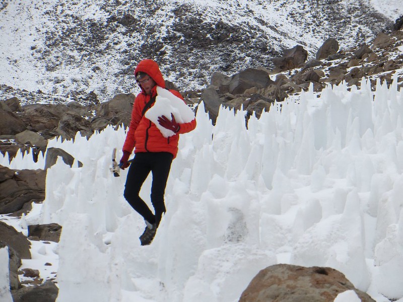
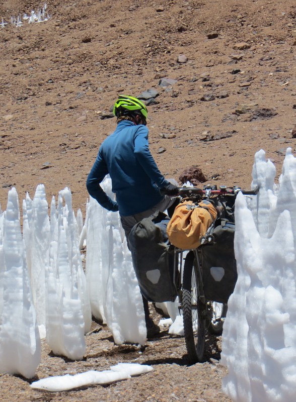
Pushing past the penitentes

At 5400m the road ceases to be motorable. To this point it had been almost completely rideable, but at this height penitentes block the road’s switchbacks, and it becomes too steep to ride.

In the penitentes

A short wander in the penitente maze….

Penitentes on Sairecabur

These snow and ice formations only occur in the high Andes. And on Mars, apparently.

Ninja biker at 5400m on Sairecabur

At 5400m, only the most persistent of ninjas was still hunting us down…

The end of the motorable road on Sairecabur

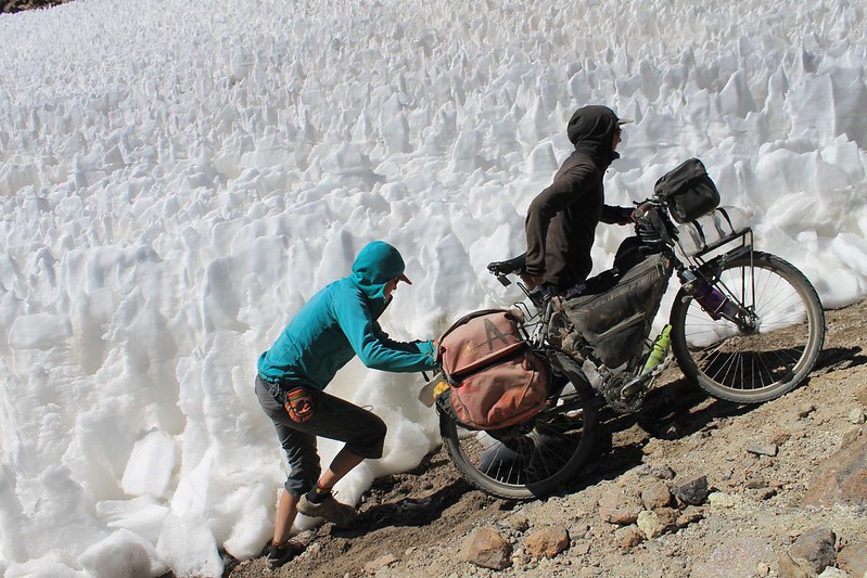
When penitentes block the road, the jeeps make new shortcuts. Some of them are quite steep – two people are needed to shove each bike up the hill. (Neil promises he was holding the camera horizontal for this shot.)

Descending from the refugio on Sairecabur

We reach the telescope in mid afternoon and set up camp. In San Pedro we were given some excellent information from the cheery guys at Cumbres 6000, but despite this we’re still not exactly sure about the route up the mountain, so continue up the road to 5670m where a path leads off from a small refugio. The way forward is now clearer.

Not many firm footings round here...

But it turns out to be on horribly loose sand and rocks. Anna is feeling the altitude from our high camp and decides to stay in the tent while we head up to the summit. Probably a good idea – mountain boots and walking poles are necessary up here – equipment she didn’t have with her.

Nearing the summit of Sairecabur

Higher up, we reach the ‘Teta’, or breast’s nipple. It’s a rough scramble over boulders to get to the 5980m top…

Looking north from the summit of Sairecabur

…from where there are fantastic panoramas of volcanoes and lakes. The dust from jeeps racing through the Lagunas route is also visible…

Still ploughing along the crater road on Sairecabur

We descend to camp, then head south, pushing our bikes along the crater road, to its southern lip. The giant breast still looms above.

Forcing a path through the penitentes

There are a couple of small penitente fields blocking the road in the crater. A swift kick sees them fall like dominoes.

Anna, beginning the descent to San Pedro

At the lip, the famous Lagunas Blanca and Verde put in an appearance, along with Volcanes Juriques and Licancabur.


Descending towards Laguna Verde

We descend slowly…

Descending from Sairecabur

…very slowly…

Taking a rest from ploughing the road down Sairecabur

…with regular stops to gasp at the view.

At about 5000m on the descent of Sairecabur

Though from above the surface looks good, it’s all earthy gravel. We don’t so much ride it, as plough it.

Pointing out the Inca ruins on Licancabur

Haz points out the Inca ruins on Licancabur where we spent a windy night back in 2010…

Lots of tight hairpins

…then begin the tight series of hairpins down to less vertical ground. Neil’s about 50m above Anna here – no head-on collision occurs.

Descending to the saddle between Sairecabur and Licancabur

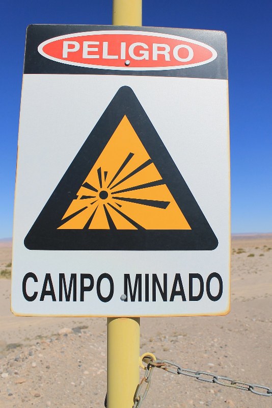
Chile is a country littered with land mines, dating back to Pinochet days. Online maps mark a mine field right here, but we don’t see it from the road, and live to ride another day.

The extraordinary road surface between Sairecabur and San Pedro

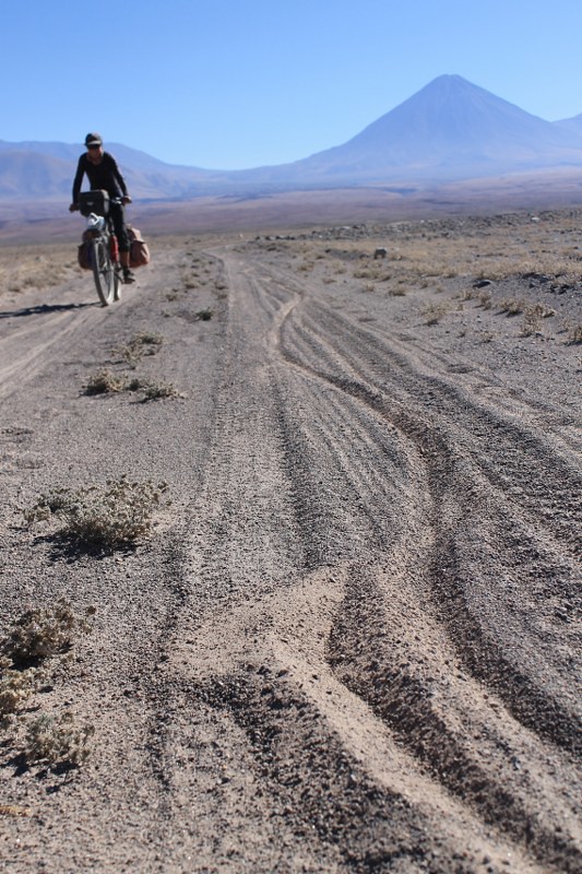
After ploughing three none-too-straight 13km furrows, the road improves and we have visions of being in San Pedro for tea. But these are soon shattered when the track turns into this…

Still not improved much...

…quite extraordinary surface.

Occasionally we went the wrong way...

Neil’s Google Earth planning is then shown up to be a bit sloppy. The expected zoom downhill to town hits some small snags, and we go wrong a couple of times. But what’s not to like about a short push back up towards this perfect cone?

Descending to San Pedro from Sairecabur

We find a good road with tyre tracks and descend a few kms. Only to discover we’ve gone the length of a peninsula guarded by sheer sided ravines. Time to about-turn again and take that other route…

Here's one of those ravines

Here’s one of those ravines, the following morning once we’ve found an easy way over it higher up. We were surprised to come across such topography in these parts – it’s normally all gentle rolling plateau and hill.

Making curves in the sand

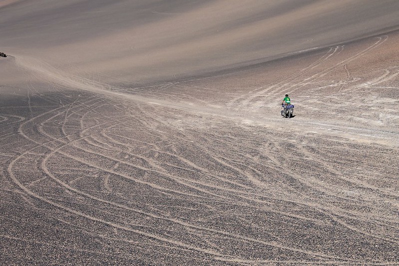
Our progress speeds up, but just before reaching the paving near San Pedro we hit a different surface, and make curves in the sand.

Mine field, 10km from San Pedro de Atacama

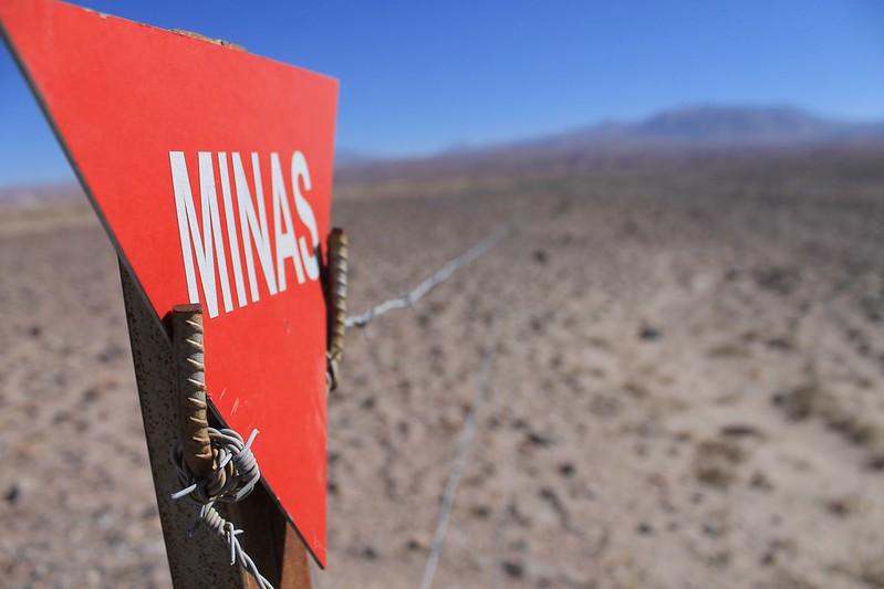
At the junction with the paving is this mine field, only 10km out of tourist central San Pedro. For a nation with pretensions of being a first world country, we find it odd that Chile hasn’t bothered ridding itself of its minefields yet. Still over 160 fields, and 100,000 mines yet to be cleared…

Mine field, and Sairecabur

At least the Chilean government claims they’re all clearly marked with warning signs such as this. If true, it makes it pretty difficult to stumble into one by mistake. The huge volcanic cone of Sairecabur lurks in the distance, and our adventure ends as we hit the tarmac and roll down back to town.

[flickr_set id=”72157638184508783″]